MyTopo
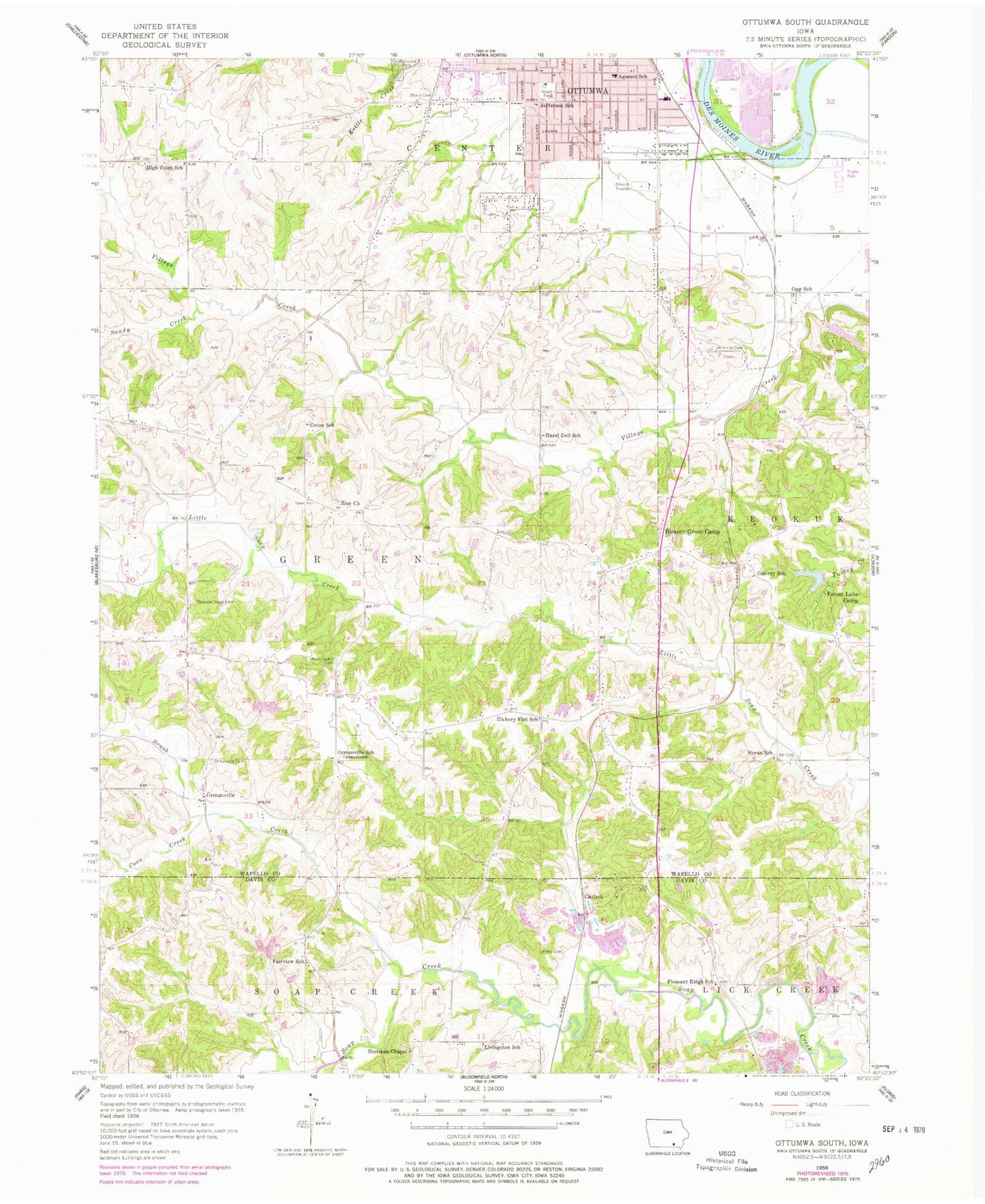
Classic USGS Ottumwa South Iowa 7.5'x7.5' Topo Map
Couldn't load pickup availability
Historical USGS topographic quad map of Ottumwa South in the state of Iowa. Map scale may vary for some years, but is generally around 1:24,000. Print size is approximately 24" x 27"
This quadrangle is in the following counties: Davis, Wapello.
The map contains contour lines, roads, rivers, towns, and lakes. Printed on high-quality waterproof paper with UV fade-resistant inks, and shipped rolled.
Contains the following named places: Agassiz Elementary School, Airpower Museum, Airpower Museum Library, American Little League Field, Bible Baptist Church, Browns Mills Post Office, Brush Creek, Carbon, Carbon Hill Post Office, Carbon Post Office, Church of the Brethren, Coon Creek, County Farm Number One Cemetery, Dexter Baby Grave, Douma Elementary School, Dove Ministries Church, Evangelistic Temple, Fairview School, Forest Lake Camp, Golden Arrow Mobile Park, Gray Eagle Wildlife Reserve, Hazel Dell School, Hickory Flat School, Hickory Grove Camp, High Point School, Horan School, Jefferson Park, Jefferson School, Jehovahs Witnesses, Jesus is the Answer Fellowship, KOIA-TV (Ottumwa), Liberty School, Livingston School, McIntire Cemetery, Midwest Therapeutic Clinic, Ogg School, Ormanville, Ormanville Cemetery, Ormanville Post Office, Ottumwa Baptist Temple, Pickwick Church of Christ, Pickwick Elementary School, Pickwick Park, Pioneer Ridge Nature Area and Nature Center, Pleasant Ridge Cemetery, Pleasant Ridge School, Plymouth Brethren Bible Chapel, Point Isabel Cemetery, Point Isabelle Post Office, Rater Post Office, Rime Cemetery, Sandy Creek, Shaul Cemetery, Sherman Chapel, Sherman Chapel Cemetery, Spence Cemetery, Township of Green, Trinity Lutheran Church, Union School, Valley Village Mobile Home Park, Wilkenson Grave, Zion Cemetery, Zion Church, Zion Community Church of God


