MyTopo
Classic USGS Our Town Alabama 7.5'x7.5' Topo Map
Couldn't load pickup availability
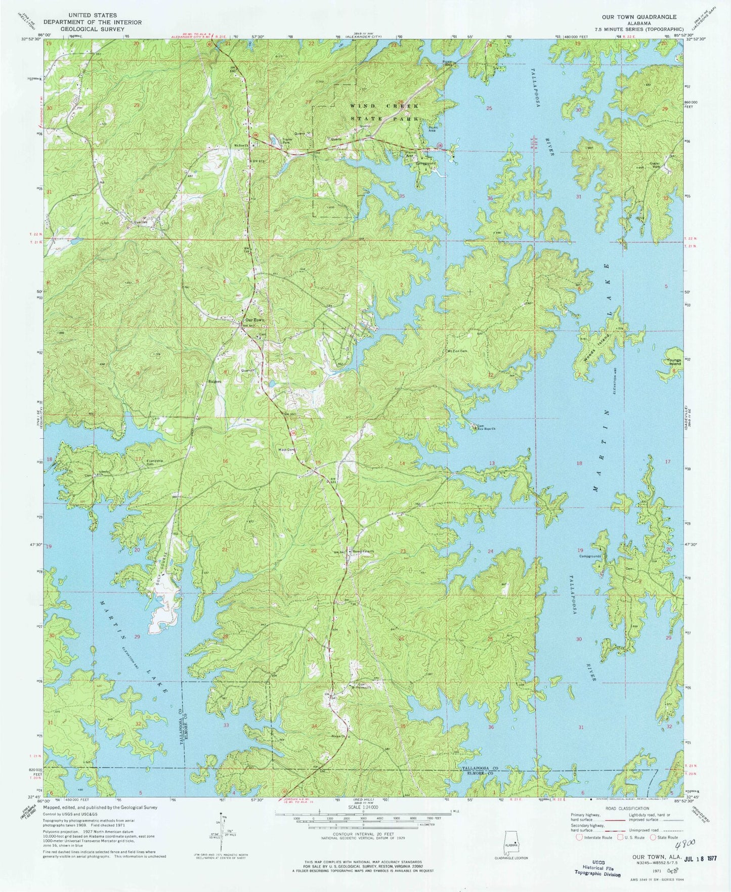
Historical USGS topographic quad map of Our Town in the state of Alabama. Typical map scale is 1:24,000, but may vary for certain years, if available. Print size: 24" x 27"
This quadrangle is in the following counties: Coosa, Elmore, Tallapoosa.
The map contains contour lines, roads, rivers, towns, and lakes. Printed on high-quality waterproof paper with UV fade-resistant inks, and shipped rolled.
Contains the following named places: Benson Church, Friendship Cemetery, Mask Cemetery, Mount Zion Cemetery, Wind Creek State Park, Woods Island, Youngs Island, Camp Alamisco, Dyke (historical), Island Home (historical), Liberty Cemetery, Mount Zion Cemetery, Mount Zion Church, Pine Point Marina, Piney Woods Marina, Pleasant Point Marina, Rover (historical), Russell Ferry Estates, Robert Alston Russell Bridge, Willow Point Country Club, Wind Creek, Wind Creek Farms, Liberty Baptist Church, Mount Pleasant Church, Mount Zion Baptist Church, Russell Farm Church, Alkehatchee (historical), Benson School (historical), Friendship Baptist Church (historical), Mount Zion, New Hope Cemetery, Ourtown School (historical), Bulgers, Elkahatchee Creek, New Hope Baptist Church, Our Town, Robinson Ferry (historical), Walker Ferry (historical), Benson (historical), Our Town Census Designated Place, Willow Point Airport, Windermere Volunteer Fire Department, Willow Point Volunteer Fire Department, Our Town - Willow Point Volunteer Fire Department