MyTopo
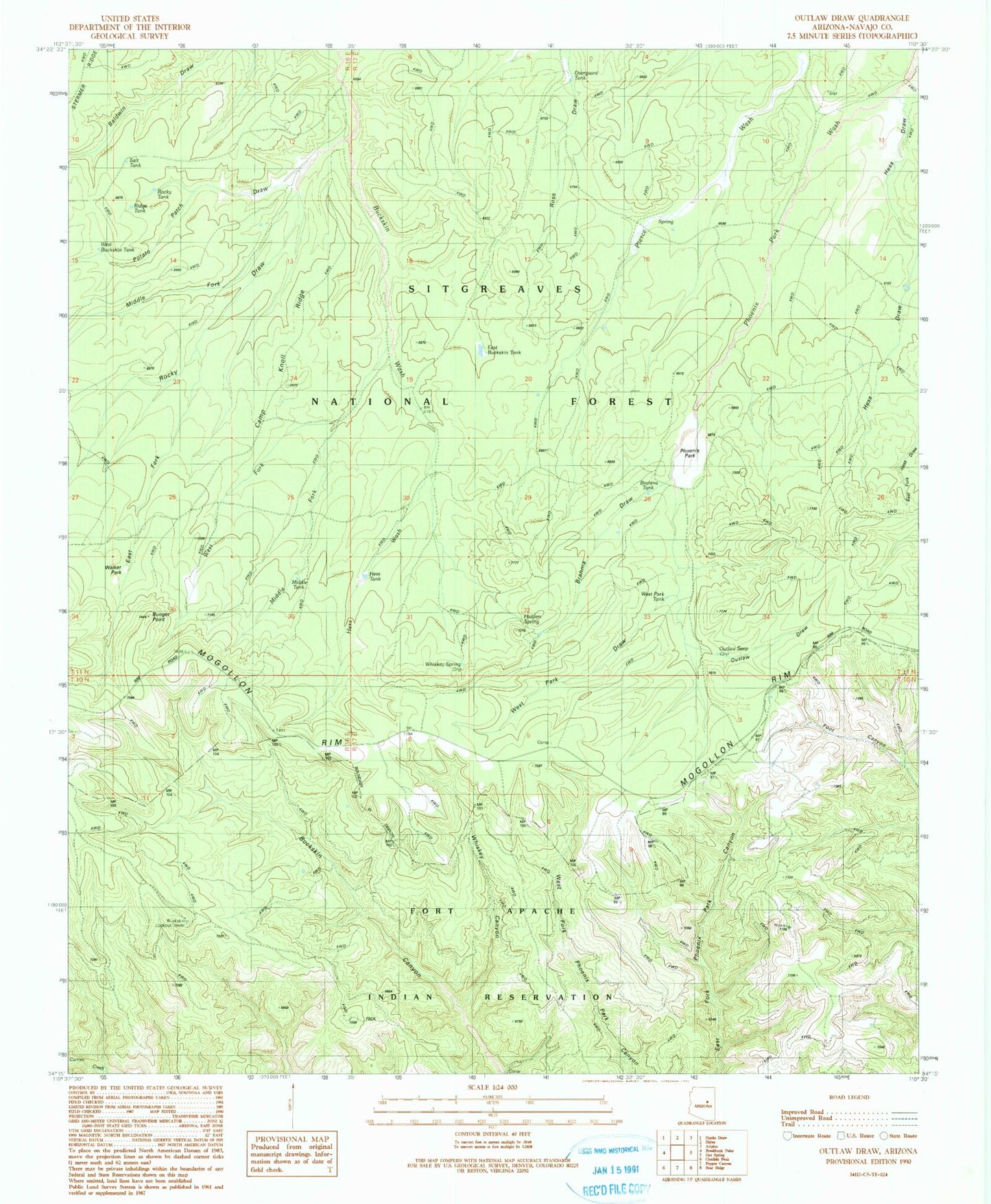
Classic USGS Outlaw Draw Arizona 7.5'x7.5' Topo Map
Couldn't load pickup availability
Historical USGS topographic quad map of Outlaw Draw in the state of Arizona. Typical map scale is 1:24,000, but may vary for certain years, if available. Print size: 24" x 27"
This quadrangle is in the following counties: Navajo.
The map contains contour lines, roads, rivers, towns, and lakes. Printed on high-quality waterproof paper with UV fade-resistant inks, and shipped rolled.
Contains the following named places: Brahma Draw, Brahma Tank, Bunger Point, Bunger Ranch, Camp Knoll Ridge, East Buckskin Tank, East Fork Rocky Draw, Hess Draw, Hess Tank, Hess Wash, Hidden Spring, Middle Fork Buckskin Wash, Middle Fork Rocky Draw, Outlaw Draw, Outlaw Seep, Potato Patch Draw, Rocky Draw, West Buckskin Trail, West Fork Buckskin Draw, West Park Draw, West Park Tank, Whiskey Canyon, Whiskey Spring, Middle Fork Tank, Middle Tank, Overgaard Tank, Ridge Tank, West Buckskin Tank, Buckskin Lookout Tower, Phoenix Park, Rocky Tank, Salt Tank, Walker Park, Holcomb Ranch, Foot Canyon Trail, Fence Tank, Blevins Ranch, Lower Hess Tank, West Fork Buckskin Wash, West Lincoln Trail


