MyTopo
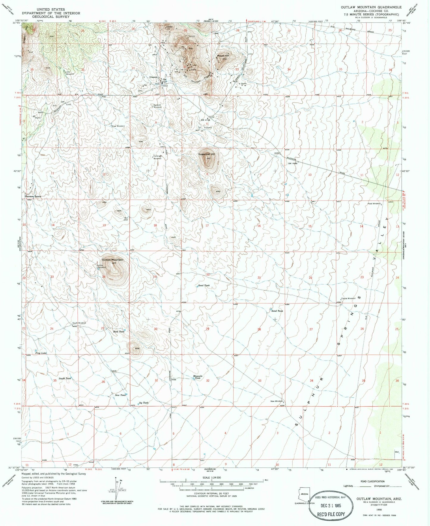
Classic USGS Outlaw Mountain Arizona 7.5'x7.5' Topo Map
Couldn't load pickup availability
Historical USGS topographic quad map of Outlaw Mountain in the state of Arizona. Map scale may vary for some years, but is generally around 1:24,000. Print size is approximately 24" x 27"
This quadrangle is in the following counties: Cochise.
The map contains contour lines, roads, rivers, towns, and lakes. Printed on high-quality waterproof paper with UV fade-resistant inks, and shipped rolled.
Contains the following named places: Coyote Windmill, Dead Mexican Canyon, Frog Lake, Fullbright Windmill, Garland Windmill, Gleeson, Gleeson Cemetery, Gleeson Substation, Harmon Ranch, Hood Windmill, Jog Tank, Little Windmill, Maud Hill, Mesquite Tank, New Tank, New Windmill, Outlaw Mountain, Outlaw Windmill, River Windmill, Road Tank, Rock Tank, Sand Tank, South Tank, South Windmill, Sugarloaf Hill