MyTopo
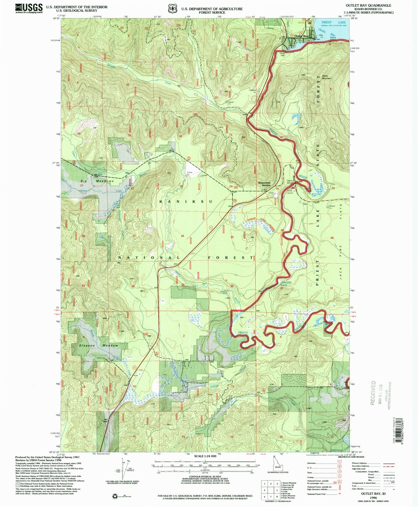
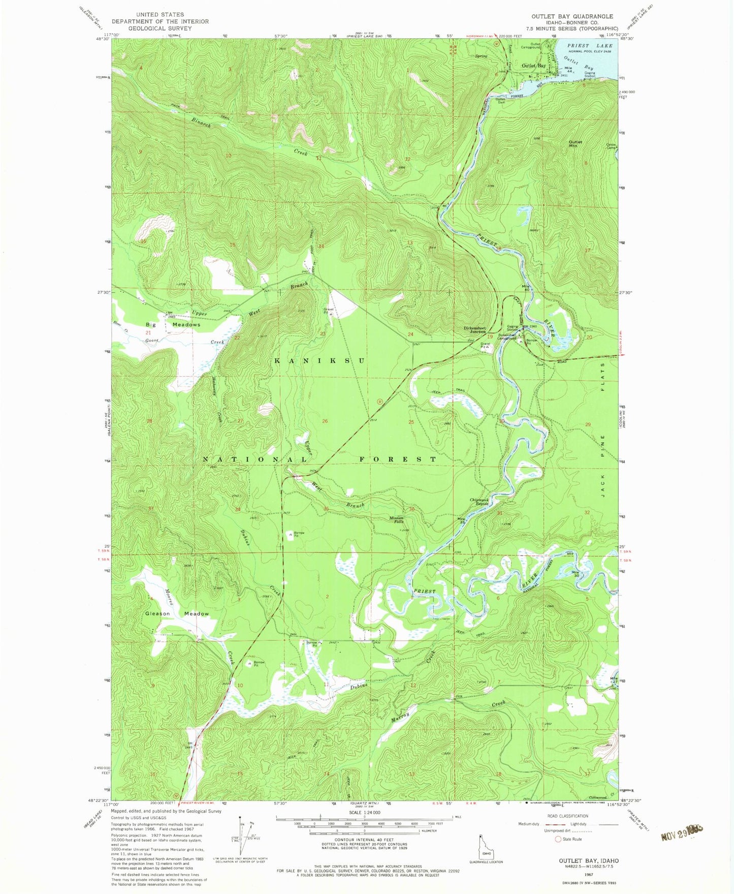
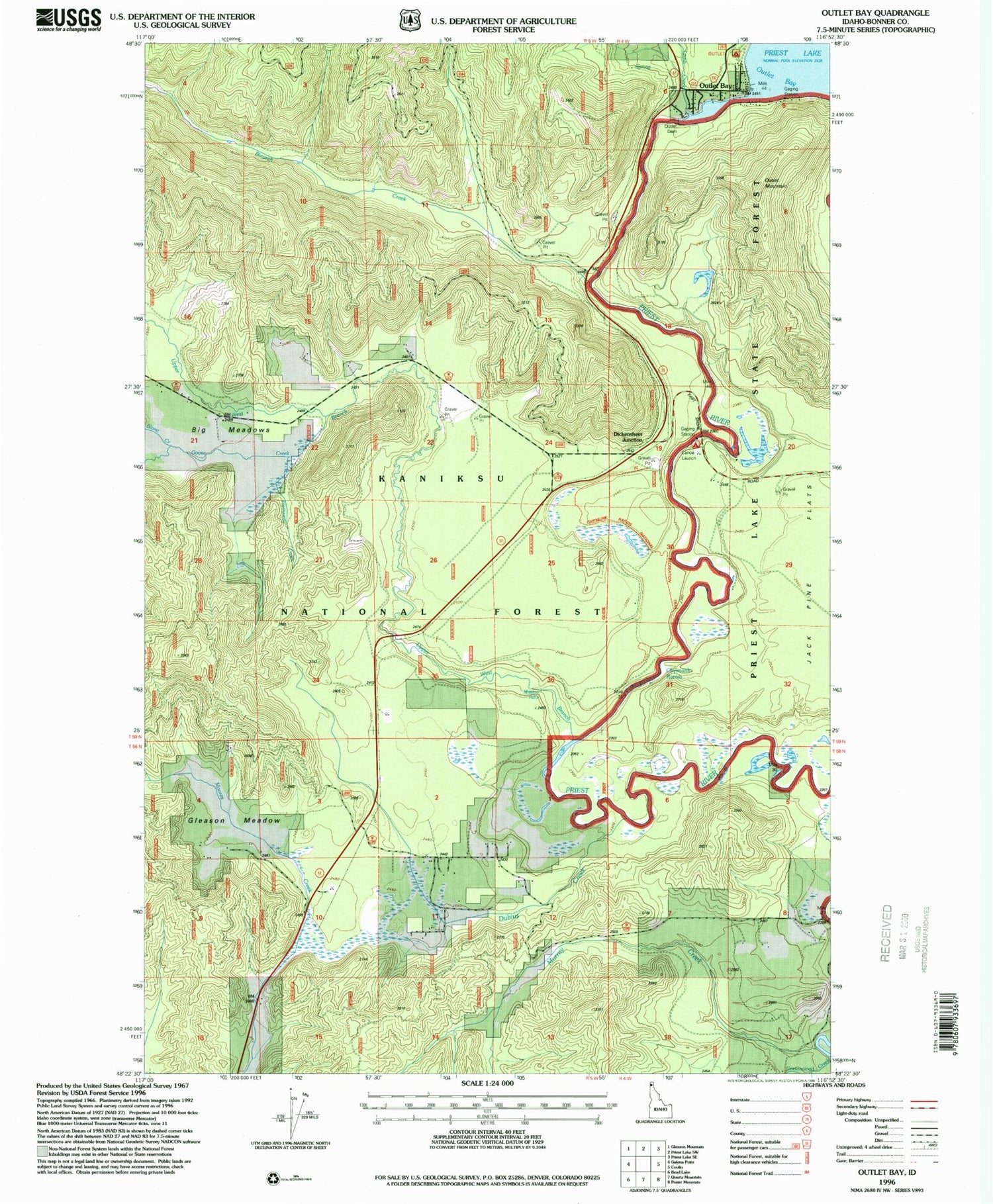
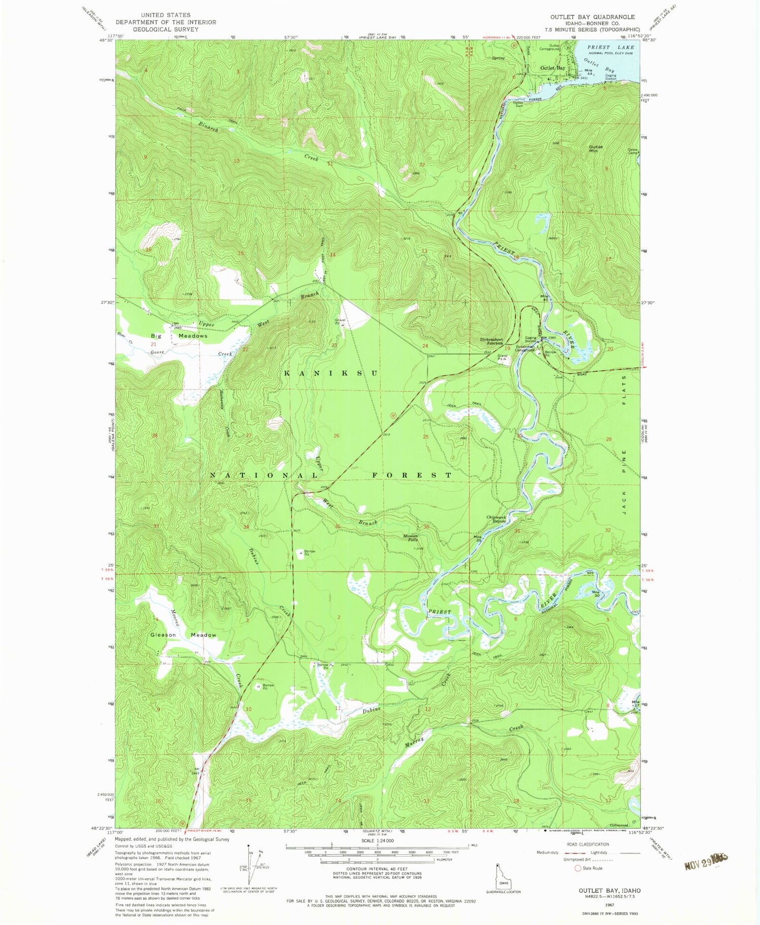
Classic USGS Outlet Bay Idaho 7.5'x7.5' Topo Map
Couldn't load pickup availability
Historical USGS topographic quad map of Outlet Bay in the state of Idaho. Map scale may vary for some years, but is generally around 1:24,000. Print size is approximately 24" x 27"
This quadrangle is in the following counties: Bonner.
The map contains contour lines, roads, rivers, towns, and lakes. Printed on high-quality waterproof paper with UV fade-resistant inks, and shipped rolled.
Contains the following named places: Binarch Creek, Blonc Creek, Canoe Camp, Chipmunk Rapids, Chipmunk Rapids National Recreation Trail, Cottonwood Creek, Dickensheet Campground, Dickensheet Junction, Dubius Creek, Gleason Meadow, Goose Creek, Hathaway Creek, Kaniksu Marsh Research Natural Area, Lamb Creek, Mission Falls, Murray Creek, Outlet Bay, Outlet Campground, Outlet Dam, Outlet Mountain, Priest Lake Dam, Priest River Division, Upper West Branch Priest River


