MyTopo
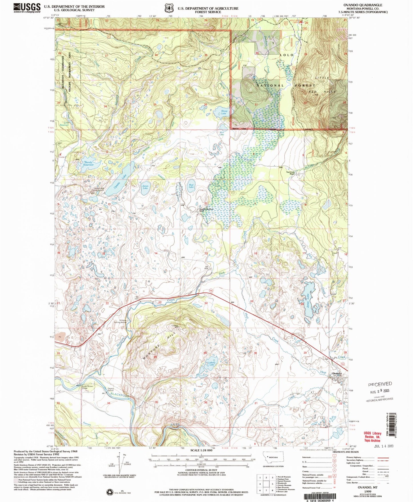
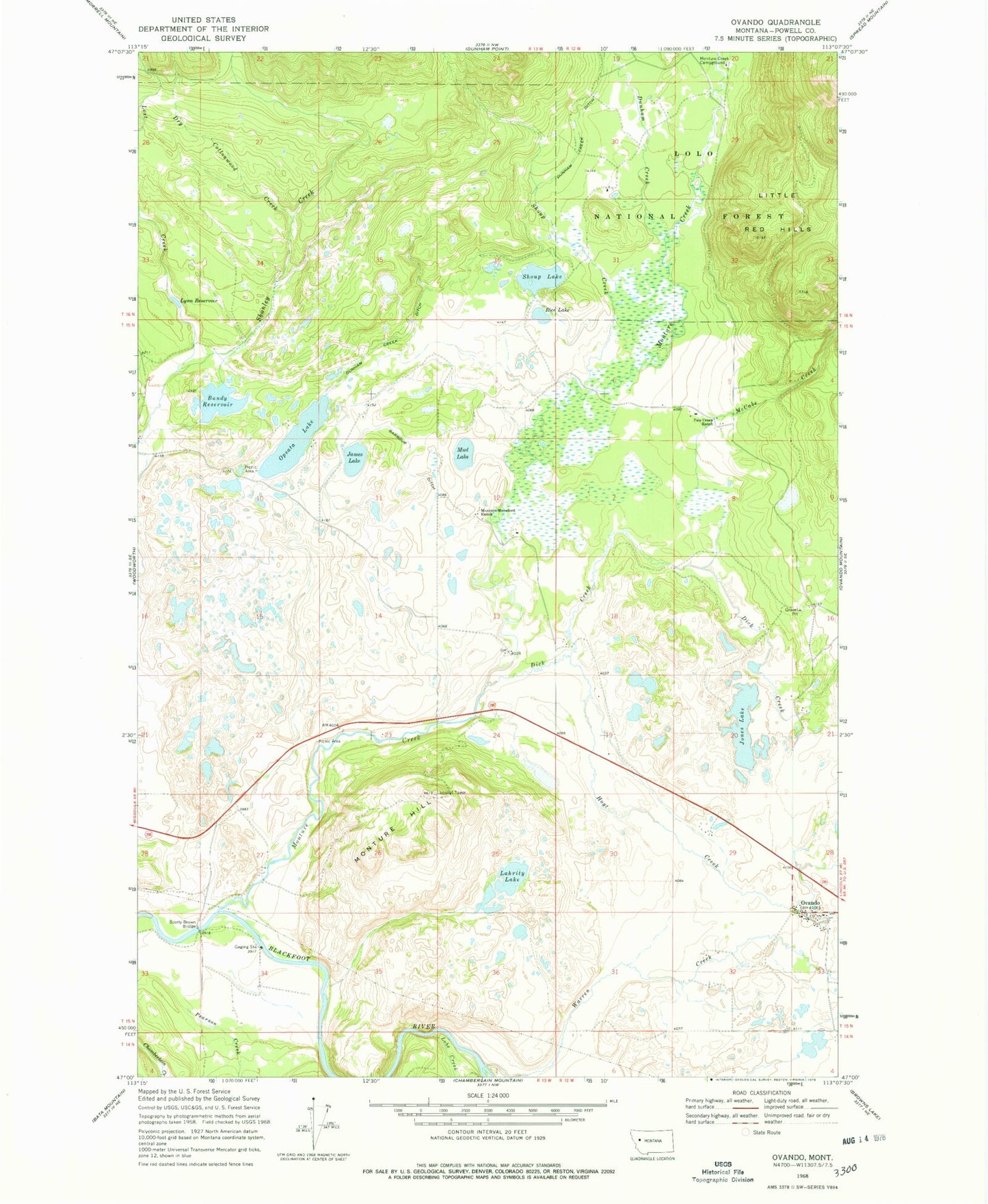
Classic USGS Ovando Montana 7.5'x7.5' Topo Map
Couldn't load pickup availability
Historical USGS topographic quad map of Ovando in the state of Montana. Map scale may vary for some years, but is generally around 1:24,000. Print size is approximately 24" x 27"
This quadrangle is in the following counties: Powell.
The map contains contour lines, roads, rivers, towns, and lakes. Printed on high-quality waterproof paper with UV fade-resistant inks, and shipped rolled.
Contains the following named places: 15N12W05CDCA01 Well, 15N12W29BDBD01 Well, 15N12W32CABC01 Well, 15N12W33BBAA01 Well, 15N12W33BBBA01 Well, 15N12W33BBBA02 Well, 16N12W30AACC01 Well, Bandy Reservoir, Bandy Reservoir Dam, Barbour Ditch, Blackfoot Church, Dick Creek, Dry Cottonwood Creek, Dunham Creek, Dunham Creek Ditch, Hoyt Creek, James Lake, Jones Lake, Lahrity Lake, Little Red Hills, Lobe Creek, Lost Creek, Lynn Reservoir, McCabe Creek, Monture Creek Campground, Monture Creek Fishing Access Site, Monture Hereford Ranch, Monture Hill, Mud Lake, Ovando, Ovando Cemetery, Ovando Census Designated Place, Ovando Elementary School, Ovando Post Office, Ovando Volunteer Fire Department, Pearson Creek, Rice Lake, Scotty Brown Bridge, Shoup Creek, Shoup Lake, Shoup Lake Dam, Two Creek Ranch, Upsata Lake, Upsata Lake Fishing Access Site, Warren Creek


