MyTopo
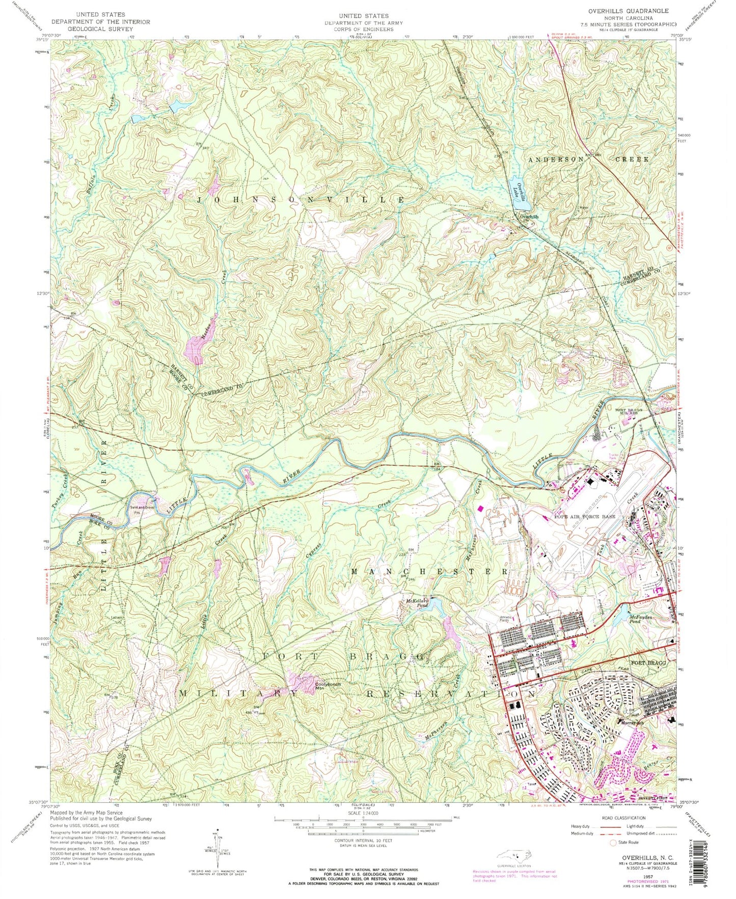
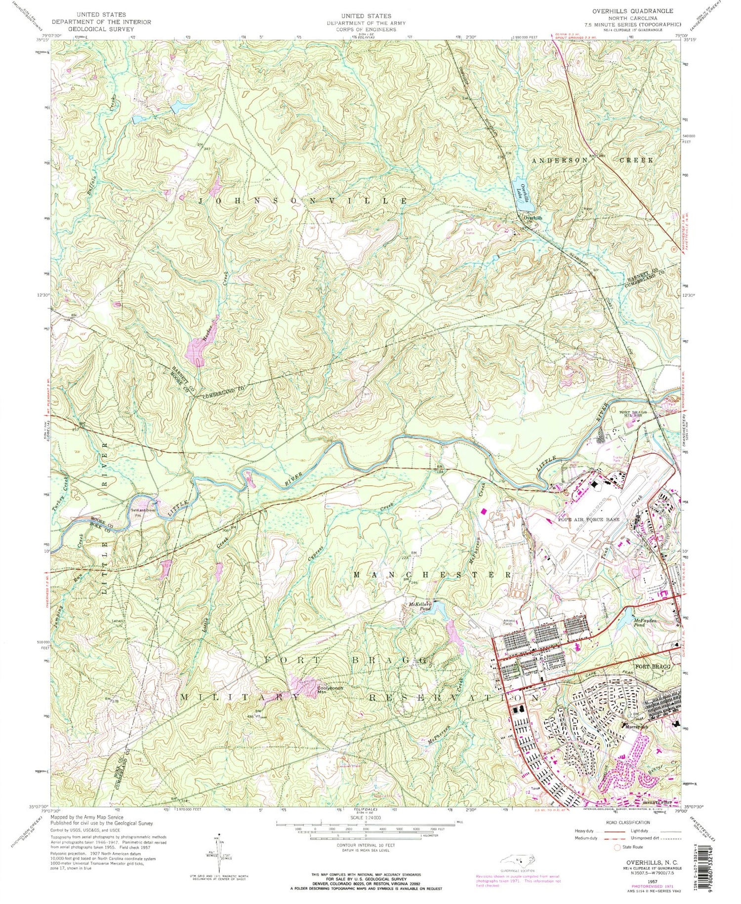
Classic USGS Overhills North Carolina 7.5'x7.5' Topo Map
Couldn't load pickup availability
Historical USGS topographic quad map of Overhills in the state of North Carolina. Typical map scale is 1:24,000, but may vary for certain years, if available. Print size: 24" x 27"
This quadrangle is in the following counties: Cumberland, Harnett, Hoke, Moore.
The map contains contour lines, roads, rivers, towns, and lakes. Printed on high-quality waterproof paper with UV fade-resistant inks, and shipped rolled.
Contains the following named places: Coolyconch Mountain, Cypress Creek, Duncans Creek, Hector Creek, Jumping Run Creek, Little Creek, McFayden Pond, McKellars Pond, McPherson Creek, Muddy Creek, Murray School, Overhills Lake, Turkey Creek, Lower McKellars Pond, NC Noname Forty-Six Dam, NC Noname Eighty-One Dam, Upper McKellars Pond, NC Noname Forty-Five Dam, Kiest Lake, NC Noname Forty-Four Dam, Weyerhaeuser Company Dam, Overhills Lake Dam, Oconnell Dam, West Pond, West Pond Dam, Nijmegen, Hammond Hills, Cherbourg, Saint Mere Eglise, Overhills, Township of Manchester, Fort Bragg, Pope Air Force Base, Fort Bragg Census Designated Place (historical), Pope Air Force Base Census Designated Place (historical), Fort Bragg Fire and Emergency Services Station 3, Pope Air Force Base Fire Department Station 7, Pope Army Airfield, Womack Army Medical Center, Pope Army Airfield Post Office


