MyTopo
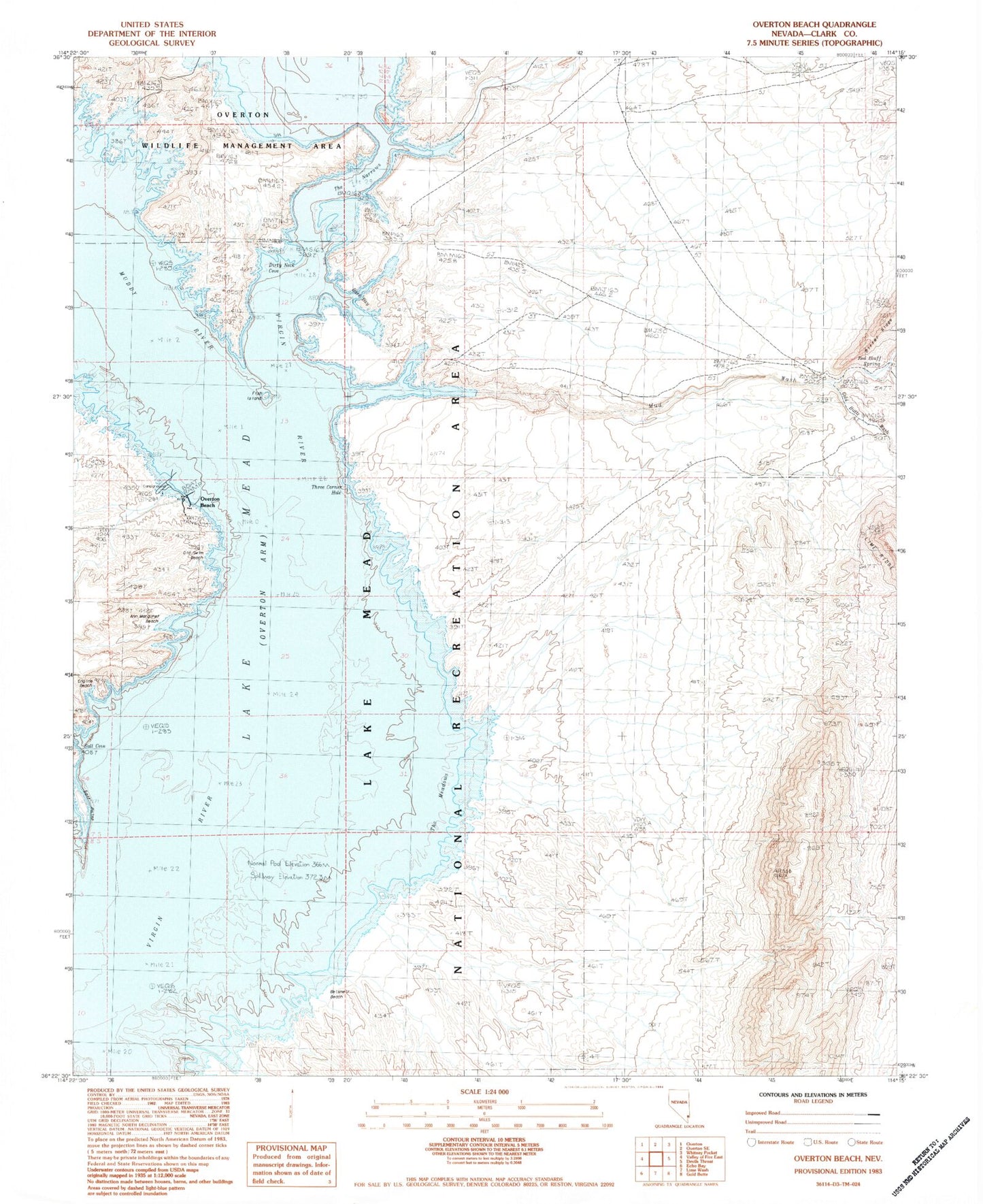
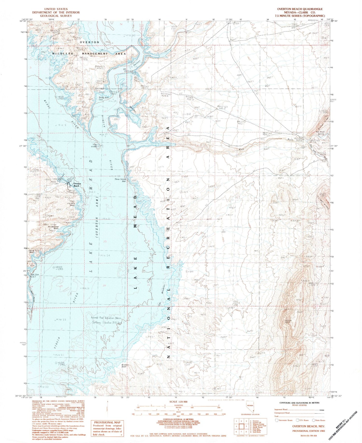
Classic USGS Overton Beach Nevada 7.5'x7.5' Topo Map
Couldn't load pickup availability
Historical USGS topographic quad map of Overton Beach in the state of Nevada. Map scale may vary for some years, but is generally around 1:24,000. Print size is approximately 24" x 27"
This quadrangle is in the following counties: Clark.
The map contains contour lines, roads, rivers, towns, and lakes. Printed on high-quality waterproof paper with UV fade-resistant inks, and shipped rolled.
Contains the following named places: Ann Marguret Beach, Bark Bay, Belsmeir Beach, Big Cliff Mine, Brine Spring, Dirty Neck Cove, Engine Beach, Fish Island, Fultons Reef, Lost City Cove, Mud Wash, Old Swim Beach, Overton Beach, Red Bluff Spring, Saint Thomas, Saint Thomas Post Office, Saint Thomas Salt, Salt Cove, Salt Point, The Meadows, The Narrows, Three Corner Hole, Virgin River Basin


