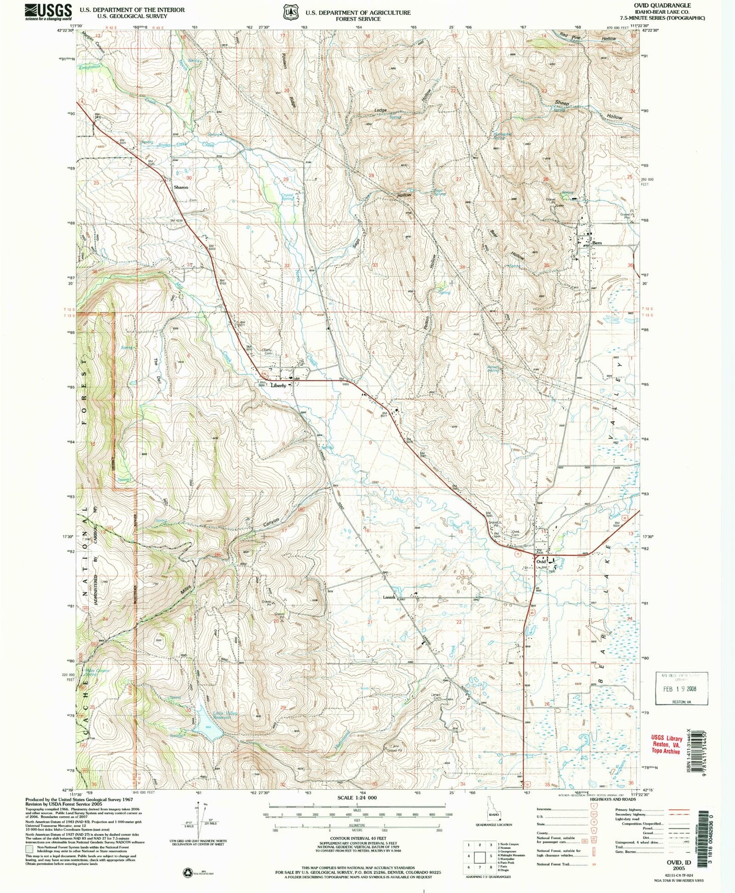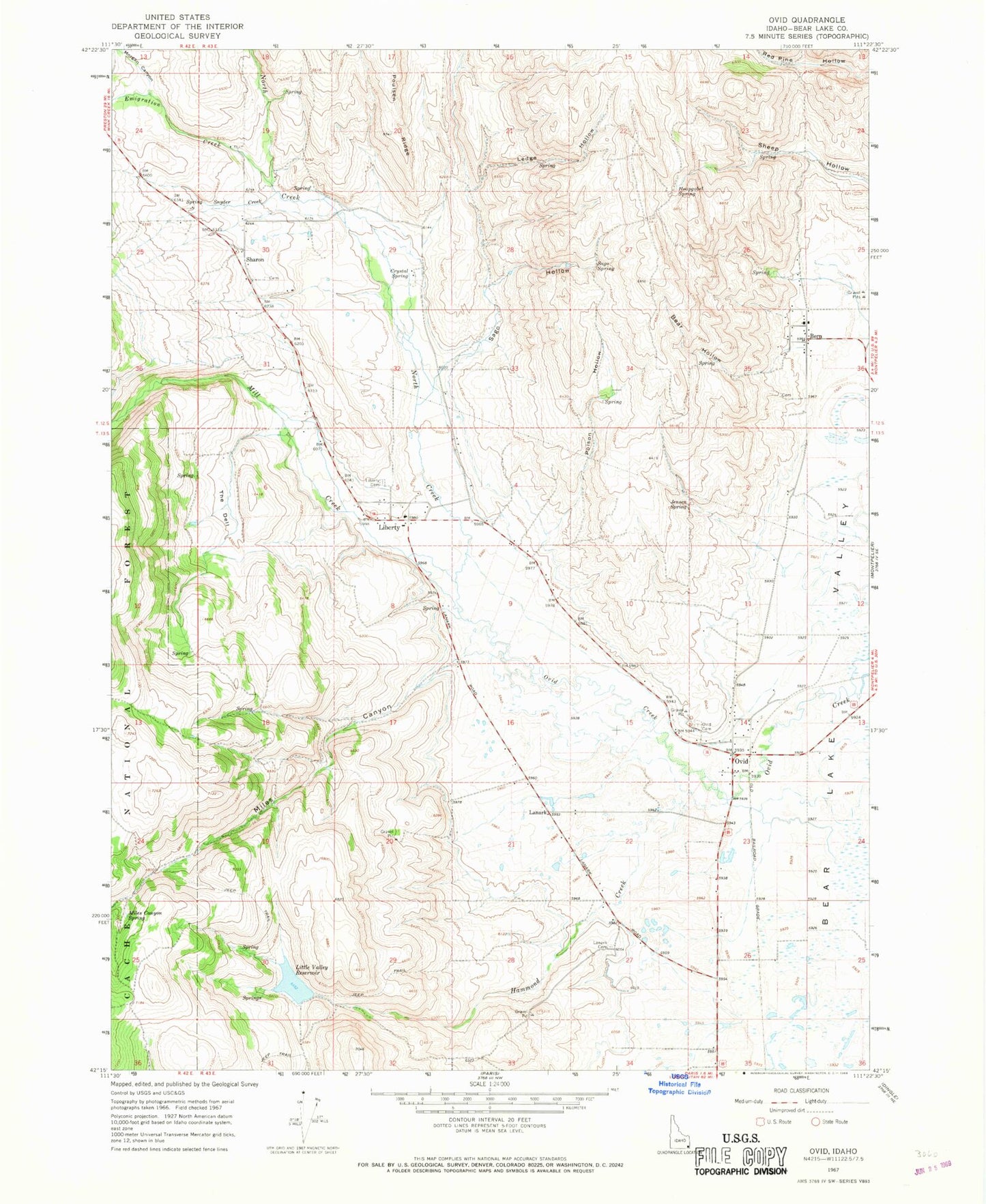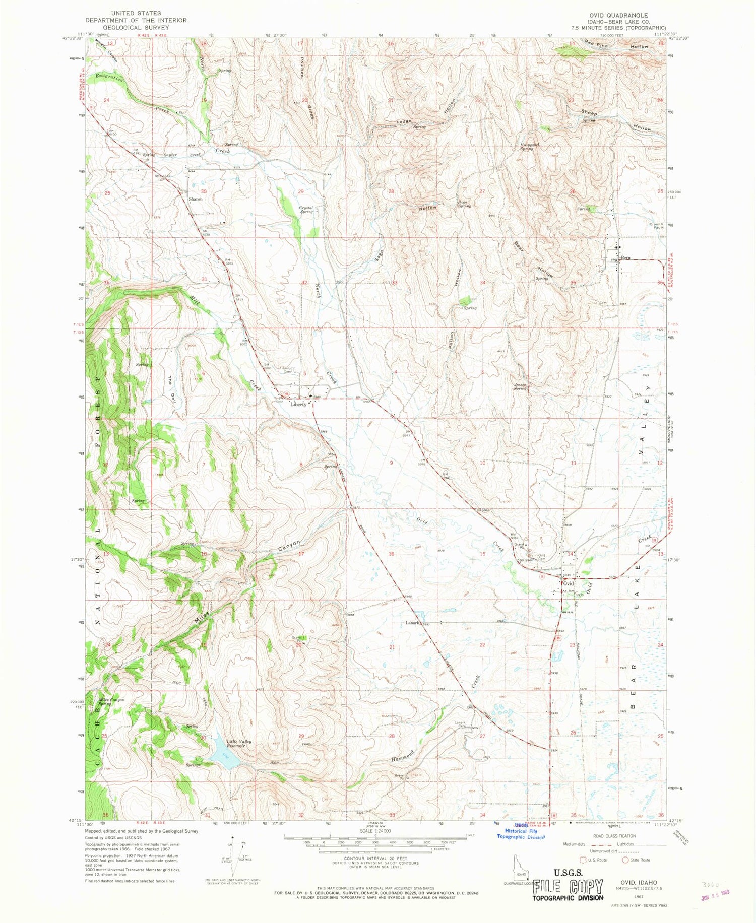
MyTopo
Classic USGS Ovid Idaho 7.5'x7.5' Topo Map
Couldn't load pickup availability
Historical USGS topographic quad map of Ovid in the state of Idaho. Map scale may vary for some years, but is generally around 1:24,000. Print size is approximately 24" x 27"
This quadrangle is in the following counties: Bear Lake.
The map contains contour lines, roads, rivers, towns, and lakes. Printed on high-quality waterproof paper with UV fade-resistant inks, and shipped rolled.
Contains the following named places: Bear Hollow, Bear Lake Volunteer Fire Protection District Station 3, Bern, Crystal Spring, Emigration Creek, Hammond Creek, Hammond Dam, Hoopgobel Spring, Jensen Spring, Lanark, Lanark Cemetery, Ledge Hollow, Liberty, Liberty Cemetery, Little Valley Reservoir, Miles Canyon, Miles Canyon Spring, Mill Creek, Morgan Canyon, North Creek, Ovid, Ovid Cemetery, Poison Hollow, Sago Hollow, Sago Spring, Sharon, Snyder Creek, The Dell