MyTopo
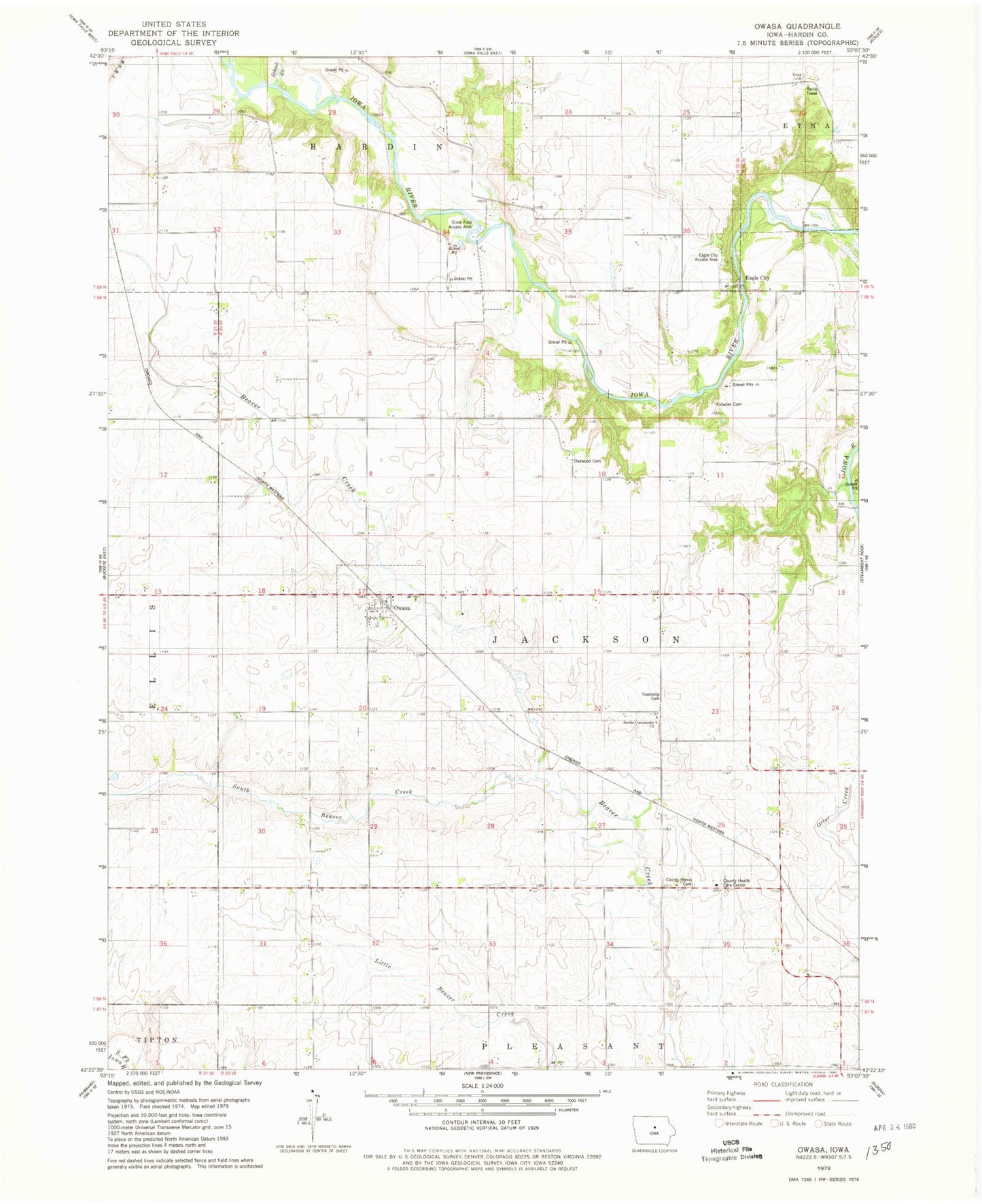
Classic USGS Owasa Iowa 7.5'x7.5' Topo Map
Couldn't load pickup availability
Historical USGS topographic quad map of Owasa in the state of Iowa. Map scale may vary for some years, but is generally around 1:24,000. Print size is approximately 24" x 27"
This quadrangle is in the following counties: Hardin.
The map contains contour lines, roads, rivers, towns, and lakes. Printed on high-quality waterproof paper with UV fade-resistant inks, and shipped rolled.
Contains the following named places: Berlin, Berlin Community Church, Berlin Post Office, City of Owasa, Cross Ford Access Area, Eagle City, Eagle City Access Area, Eagle City Post Office, Hardin City Bridge, Hardin City Cemetery, Hardin City Post Office, Hardin County, Hardin County Health Care Center, Hardin County Home, Hardin County Home Cemetery, Hughes, Hughes Post Office, Hughs, Jackson Heights Cemetery, Jackson Township Cemetery, Kidwiler Cemetery, Link Post Office, Oakwood Cemetery, Owasa, Owasa Post Office, Red Rock Line Historical Marker, Rickord Post Office, School Creek, Township of Jackson