MyTopo
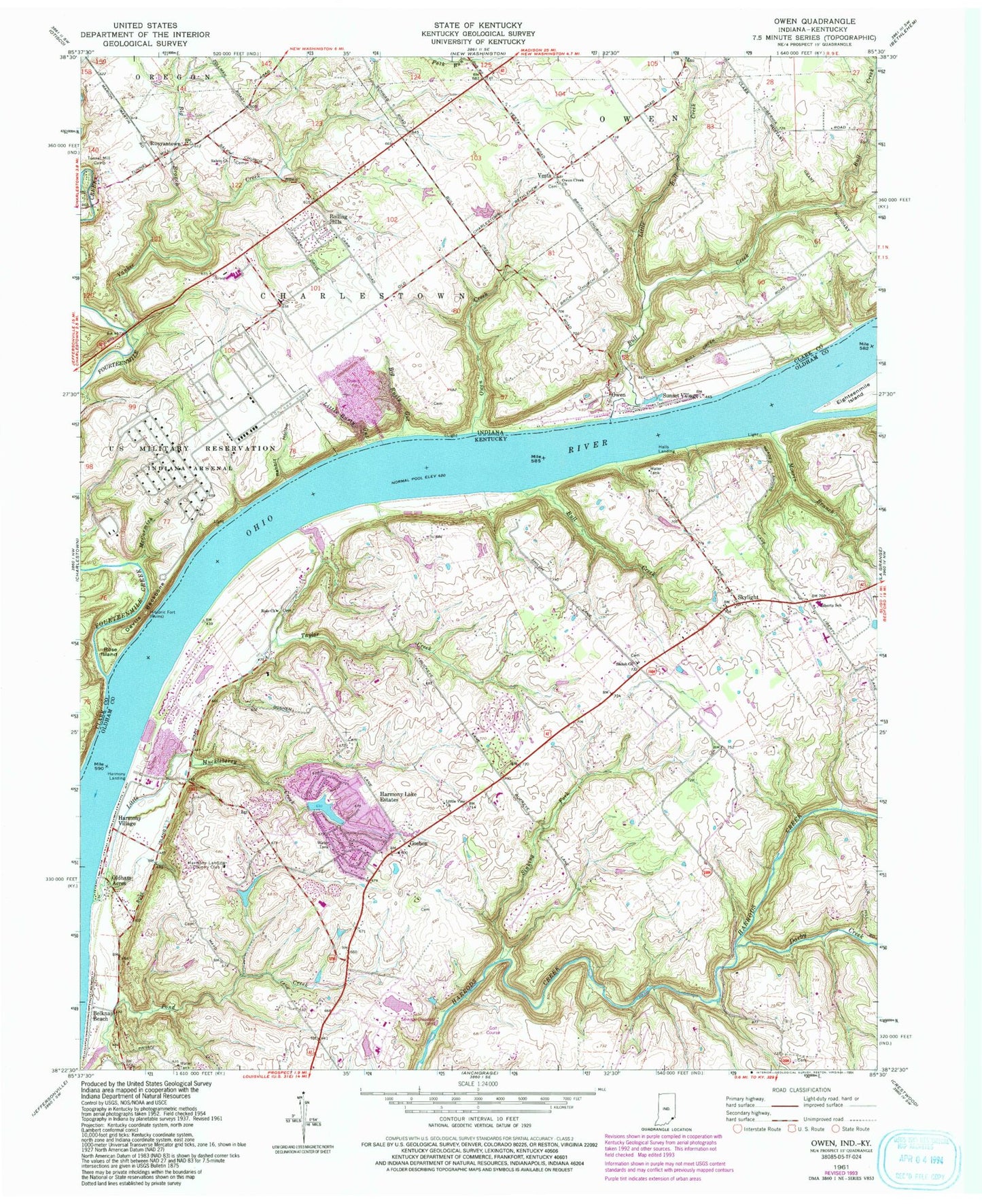
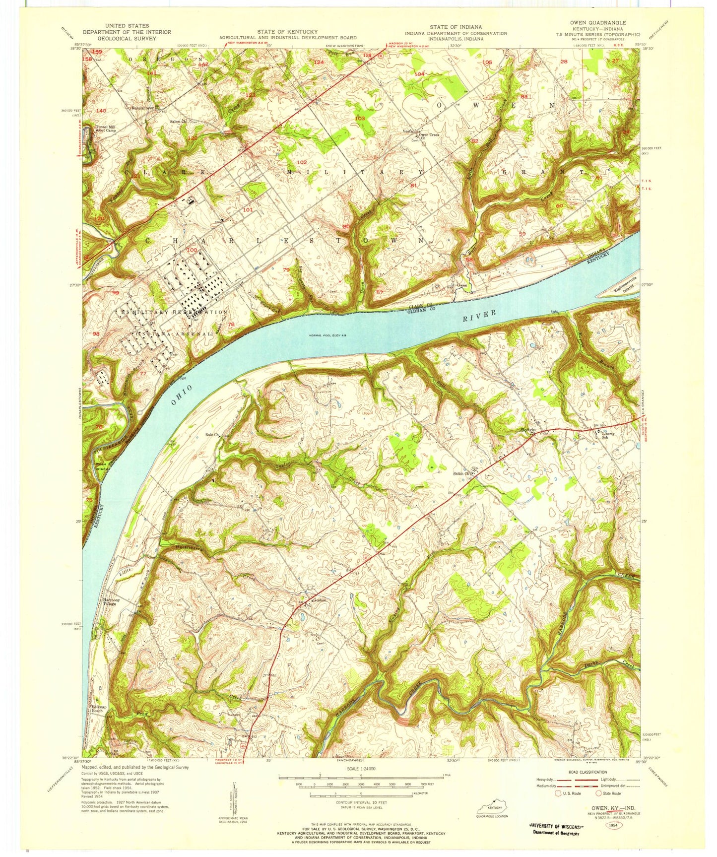
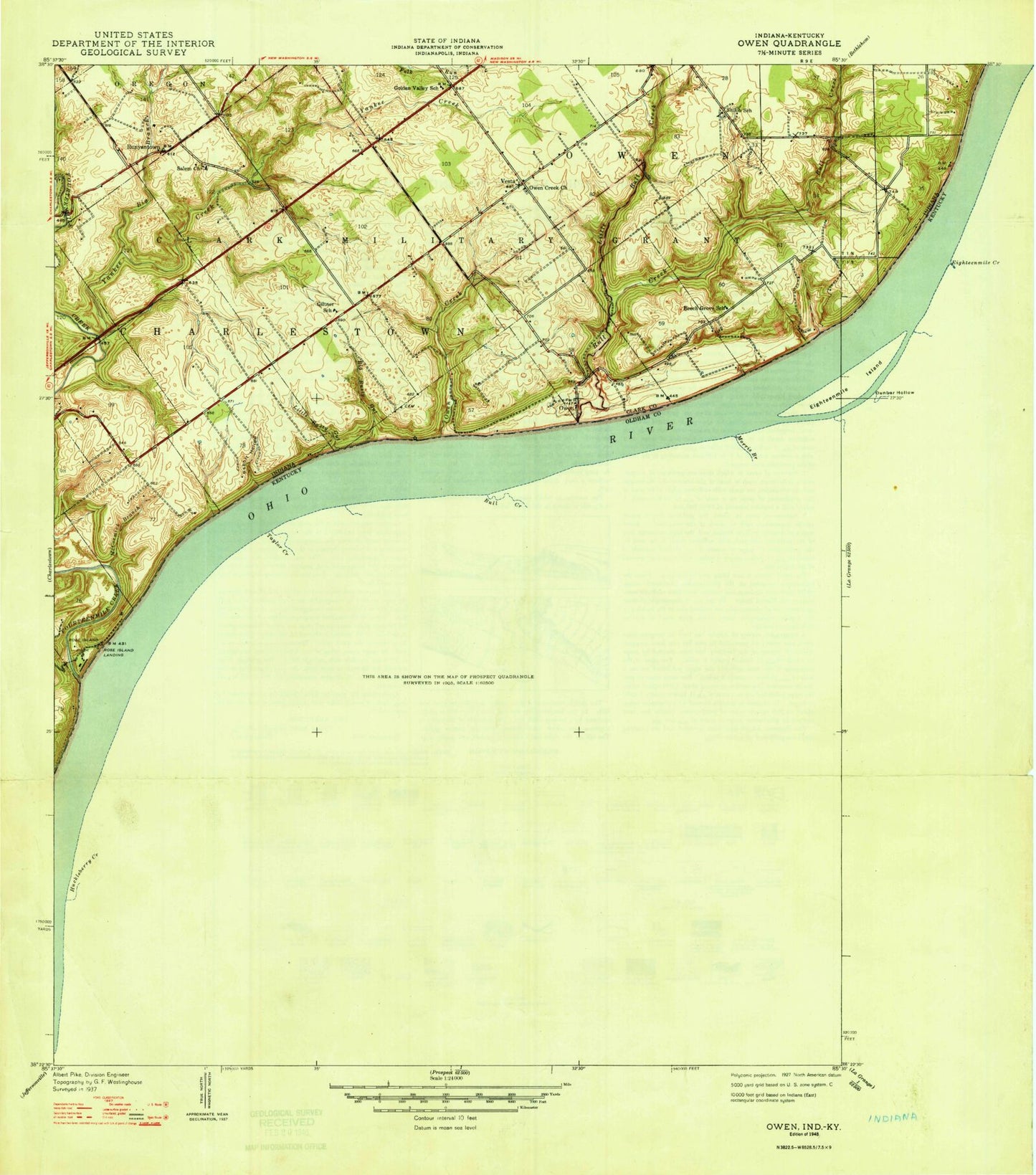
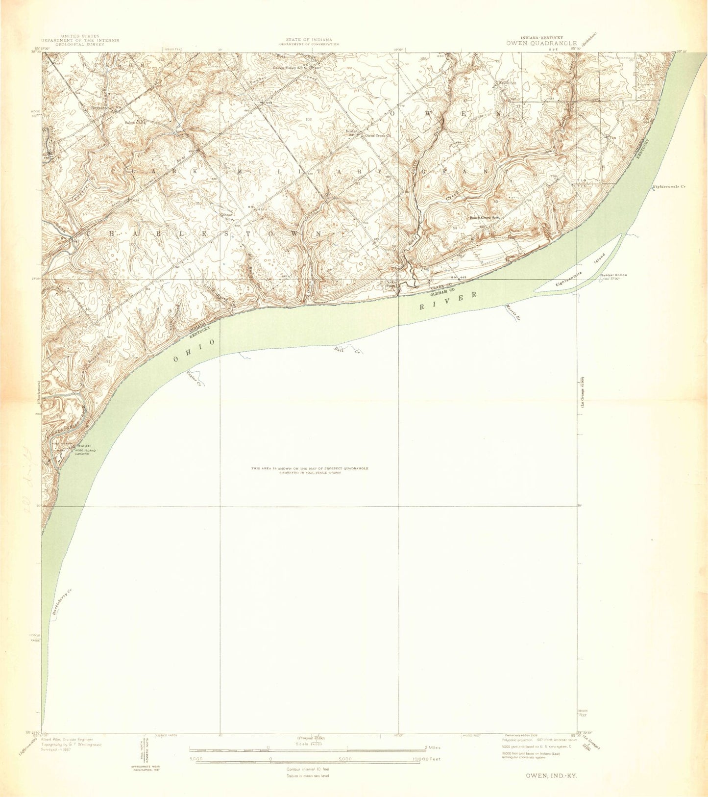
Classic USGS Owen Indiana 7.5'x7.5' Topo Map
Couldn't load pickup availability
Historical USGS topographic quad map of Owen in the states of Indiana, Kentucky. Map scale may vary for some years, but is generally around 1:24,000. Print size is approximately 24" x 27"
This quadrangle is in the following counties: Clark, Oldham.
The map contains contour lines, roads, rivers, towns, and lakes. Printed on high-quality waterproof paper with UV fade-resistant inks, and shipped rolled.
Contains the following named places: Belknap Beach, Big Branch, Big Rusty Gut, Bull Creek, Charlestown Volunteer Fire Department Station 94, City of Goshen, Darby Creek, Devils Backbone, Fourteenmile Creek, Germany, Goshen, Goshen Post Office, Halls Landing, Harmony Lake Estates, Harmony Landing, Harmony Landing Country Club, Harmony Village, Liberty, Liberty Elementary School, Liberty School, Little Bull Creek, Little Huckleberry Creek, Little Rusty Gut, Little Vine Church, McCormick Brook, Morris Branch, North Oldham Fire Department - Goshen Station, North Oldham Fire Department Station 2, Oldham Acres, Owen, Owen Creek, Owen Creek Church, Rabbit Hollow, Rolling Hills, Rose Island, Rule Church, Runyantown, Salem Church, Shiloh Methodist Church, Sinking Fork, Skylight, South Fork Darby Creek, Sunset Village, Taylor Creek, Township of Owen, Tunnel Mill Camp, Vesta, Yankee Creek, ZIP Code: 40026