MyTopo
Classic USGS Owendale Michigan 7.5'x7.5' Topo Map
Couldn't load pickup availability
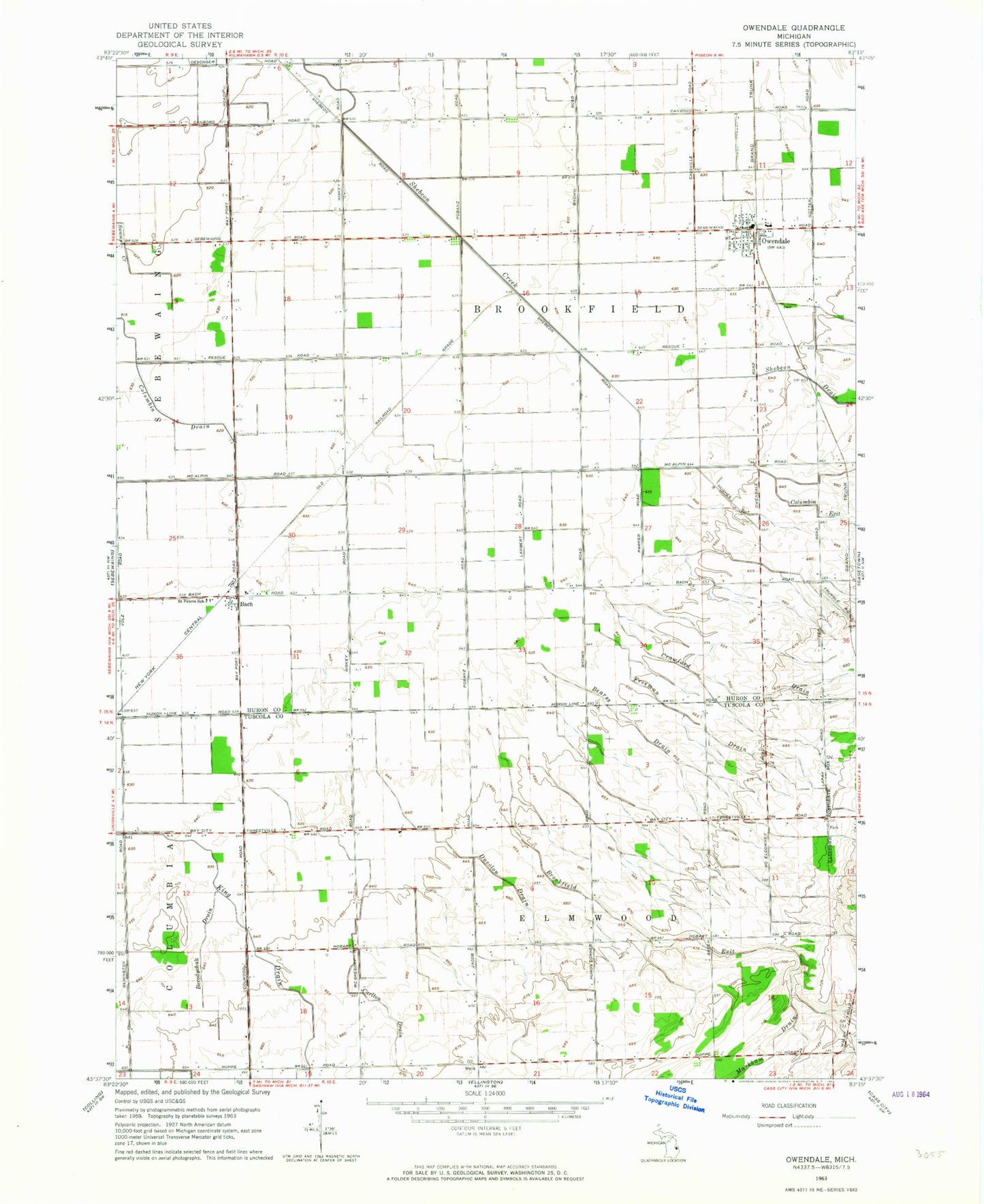
Historical USGS topographic quad map of Owendale in the state of Michigan. Map scale may vary for some years, but is generally around 1:24,000. Print size is approximately 24" x 27"
This quadrangle is in the following counties: Huron, Tuscola.
The map contains contour lines, roads, rivers, towns, and lakes. Printed on high-quality waterproof paper with UV fade-resistant inks, and shipped rolled.
Contains the following named places: Bach, Bach Post Office, Bach Station, Bearss Drain, Borodychuk Drain, Brookfield Exit, Carlton Drain, Columbia Exit, Crawford Drain, Ducolon Drain, Freeman Drain, Owendale, Owendale Fire Department, Owendale Historical Marker, Owendale Post Office, Owendale Station, Owendale-Gagetown High School, Saint Peter Lutheran Church, Saint Peters School, Township of Brookfield, Township of Elmwood, United Methodist Church, Village of Owendale, ZIP Code: 48735