MyTopo
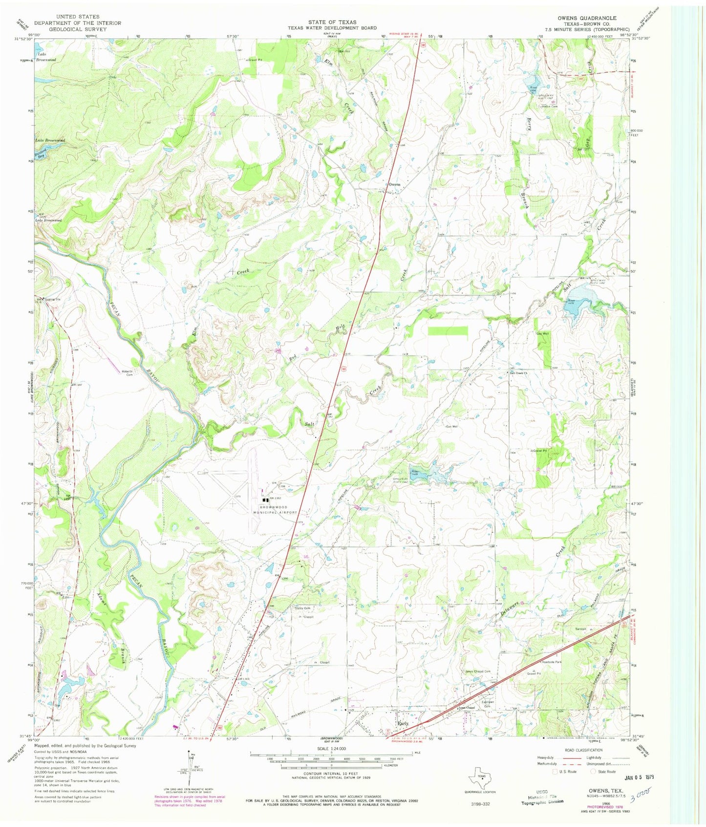
Classic USGS Owens Texas 7.5'x7.5' Topo Map
Couldn't load pickup availability
Historical USGS topographic quad map of Owens in the state of Texas. Map scale may vary for some years, but is generally around 1:24,000. Print size is approximately 24" x 27"
This quadrangle is in the following counties: Brown.
The map contains contour lines, roads, rivers, towns, and lakes. Printed on high-quality waterproof paper with UV fade-resistant inks, and shipped rolled.
Contains the following named places: Berry Branch, Brown County, Brownwood Aqueduct, Brownwood Army Air Field, Brownwood Regional Airport, Buzzard Bay, Eastlawn Cemetery, Elm Creek, Flying S Air Ranch, Gap Creek, Heflin Cemetery, Jones Chapel, Jones Chapel Cemetery, Municipal Reservoir Lower Dam, Owens, Red Hole Creek, Roberts Cemetery, Salt Creek, Salt Creek Church, Soil Conservation Service Site 11 Dam, Soil Conservation Service Site 11 Reservoir, Soil Conservation Service Site 16a Dam, Soil Conservation Service Site 16a Reservoir, Soil Conservation Service Site 17 Dam, Soil Conservation Service Site 17 Reservoir, Staley Cemetery