MyTopo
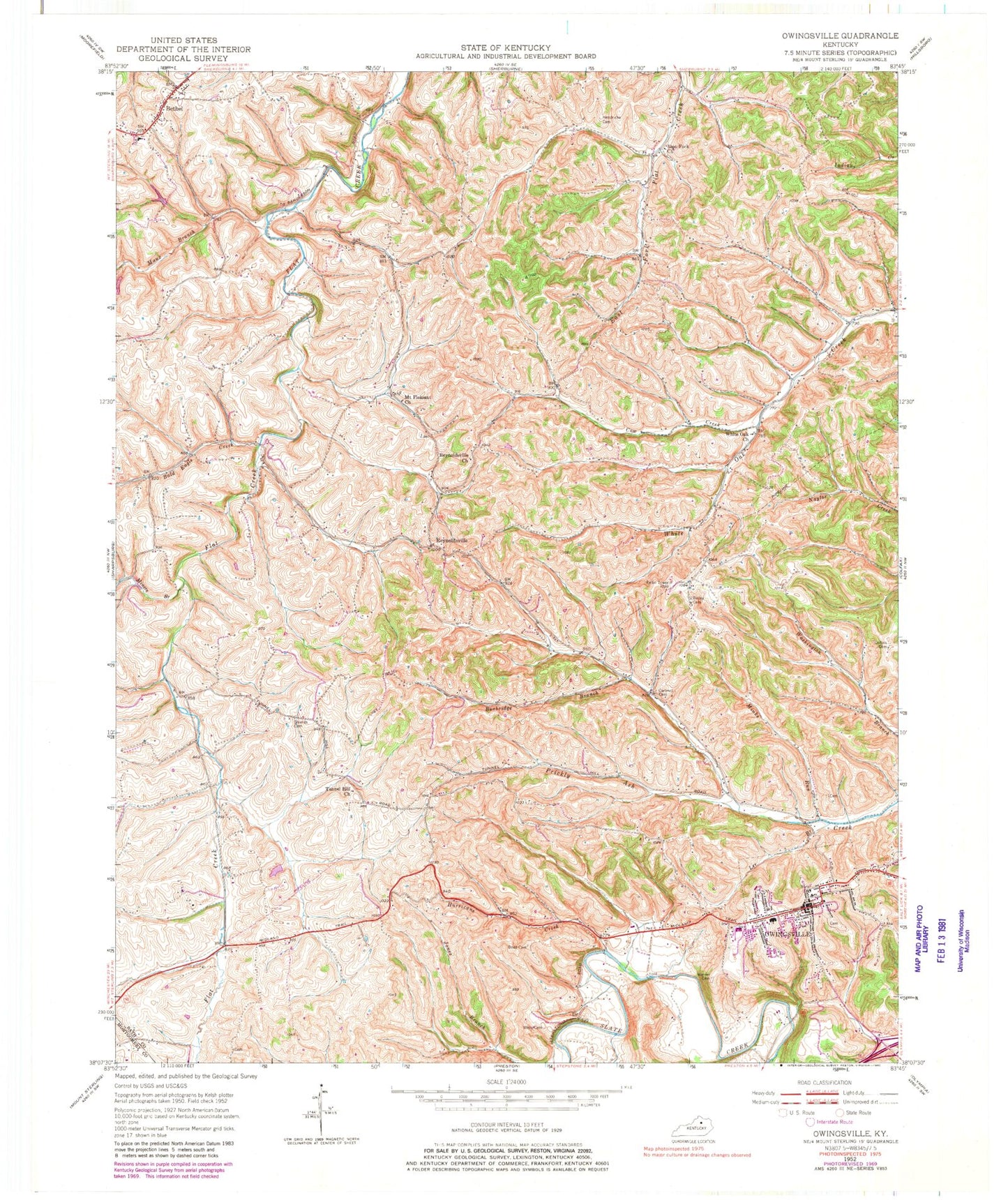
Classic USGS Owingsville Kentucky 7.5'x7.5' Topo Map
Couldn't load pickup availability
Historical USGS topographic quad map of Owingsville in the state of Kentucky. Map scale may vary for some years, but is generally around 1:24,000. Print size is approximately 24" x 27"
This quadrangle is in the following counties: Bath, Montgomery.
The map contains contour lines, roads, rivers, towns, and lakes. Printed on high-quality waterproof paper with UV fade-resistant inks, and shipped rolled.
Contains the following named places: Bailey Cemetery, Bald Eagle, Bald Eagle Baptist Church, Bald Eagle Bridge, Bald Eagle Creek, Bald Eagle Post Office, Bath County Emergency Medical Services, Bath County Sheriff's Office, Bath Courthouse, Bethel, Bethel Post Office, Bethel School, Boaz Cemetery, Burbridge Branch, Cartmill Cemetery, City of Owingsville, Collins Cemetery, Cow Creek, East Fork, East Fork Union Church, Eastville Post Office, Gregory Burying Ground, Harpers, Harpers Mill, Harpers Schoolhouse, Hendricks Cemetery, Hurricane Creek, Latham Graveyard, Lee Branch, Maux Branch, Miners Branch, Minks Run, Mount Pleasant Methodist Church, Needmore, North Prong Prickly Ash Creek, Odessa Post Office, Old Republican Meeting House, Old Republican Meeting House Cemetery, Owingsville, Owingsville Air Force Station, Owingsville Division, Owingsville Fire Department, Owingsville Police Department, Owingsville Post Office, Pittsburgh, Pittsburgh Post Office, Reynoldsville, Reynoldsville Church, Reynoldsville Post Office, Reynoldsville School, Riddle Cemetery, School Number Thirty-Six, Shields Cemetery, Six Old Mill, Tunnel Hill, Tunnel Hill Church, Upper Prickly Ash, Warner Cemetery, Washington School, Wells Cemetery, White Oak, White Oak Christian Church, White Oak Hill, WKCA-FM (Owingsville), ZIP Code: 40360


