MyTopo
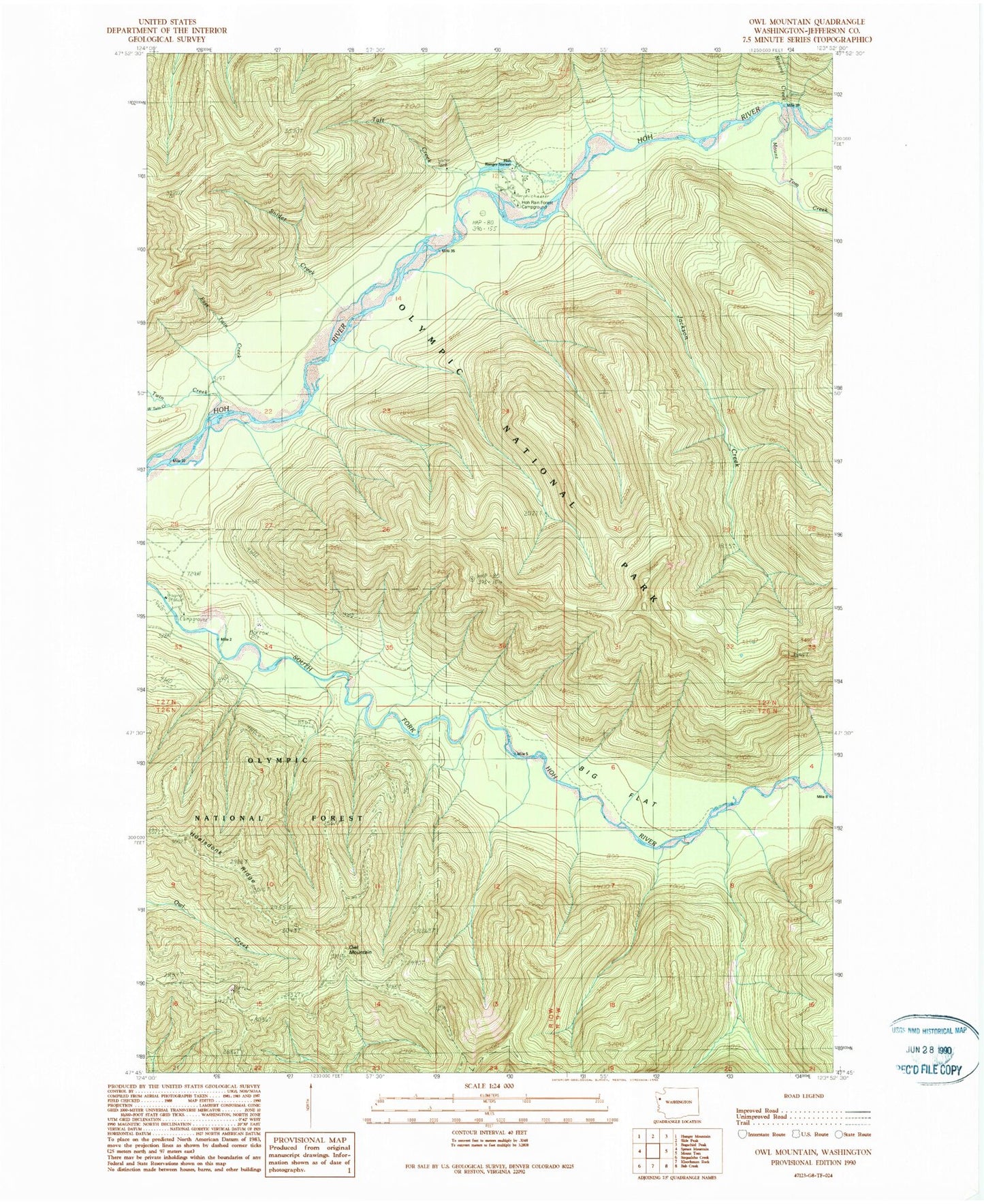
Classic USGS Owl Mountain Washington 7.5'x7.5' Topo Map
Regular price
$16.95
Regular price
Sale price
$16.95
Unit price
per
Couldn't load pickup availability
Historical USGS topographic quad map of Owl Mountain in the state of Washington. Typical map scale is 1:24,000, but may vary for certain years, if available. Print size: 24" x 27"
This quadrangle is in the following counties: Jefferson.
The map contains contour lines, roads, rivers, towns, and lakes. Printed on high-quality waterproof paper with UV fade-resistant inks, and shipped rolled.
Contains the following named places: Big Flat Shelter, East Twin Creek, Hoh Ranger Station, Huelsdonk Ridge, Jackson Creek, Mineral Creek, Mount Tom Creek, Mount Tom Shelter, Owl Mountain, Snider Creek, Taft Creek, Twin Creek, West Twin Creek, South Fork Hoh Campground, Hoh Campground