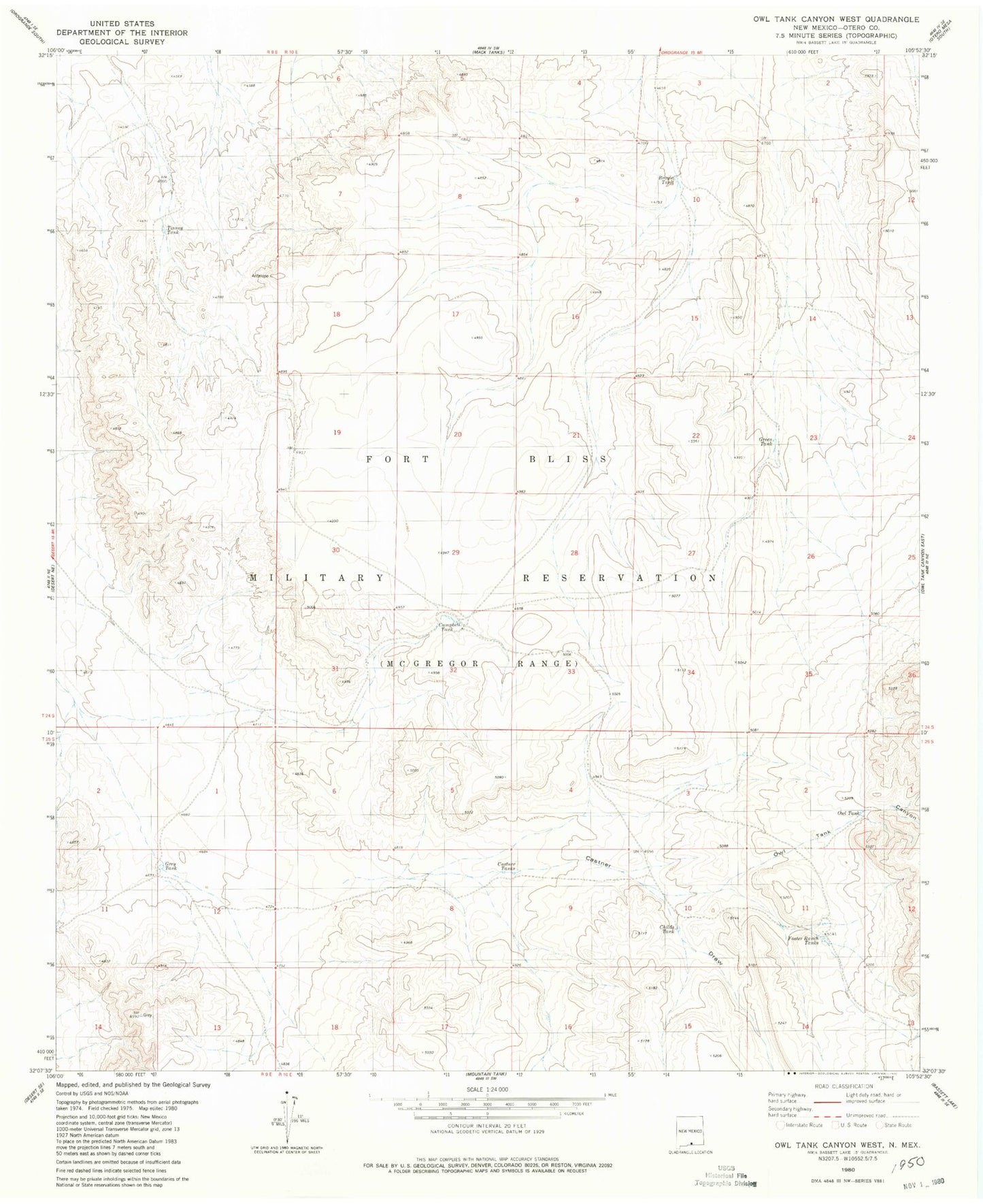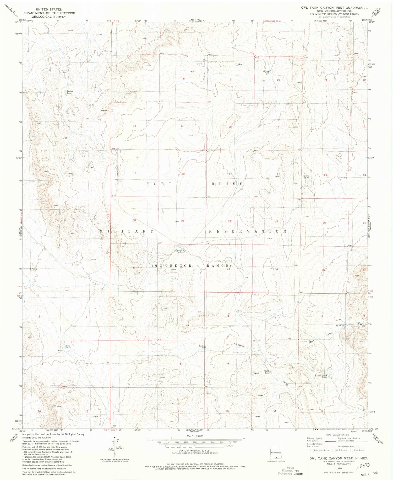
MyTopo
Classic USGS Owl Tank Canyon West New Mexico 7.5'x7.5' Topo Map
Regular price
$16.95
Regular price
Sale price
$16.95
Unit price
per
Couldn't load pickup availability
Historical USGS topographic quad map of Owl Tank Canyon West in the state of New Mexico. Map scale may vary for some years, but is generally around 1:24,000. Print size is approximately 24" x 27"
This quadrangle is in the following counties: Otero.
The map contains contour lines, roads, rivers, towns, and lakes. Printed on high-quality waterproof paper with UV fade-resistant inks, and shipped rolled.
Contains the following named places: Broyle Tank, Campbell Tank, Castner Draw, Castner Tanks, Childs Tank, Foster Ranch Tanks, Green Tank, Grey Tank, Hilltop House, Owl Tank, Owl Tank Canyon, Tinney Tank