MyTopo
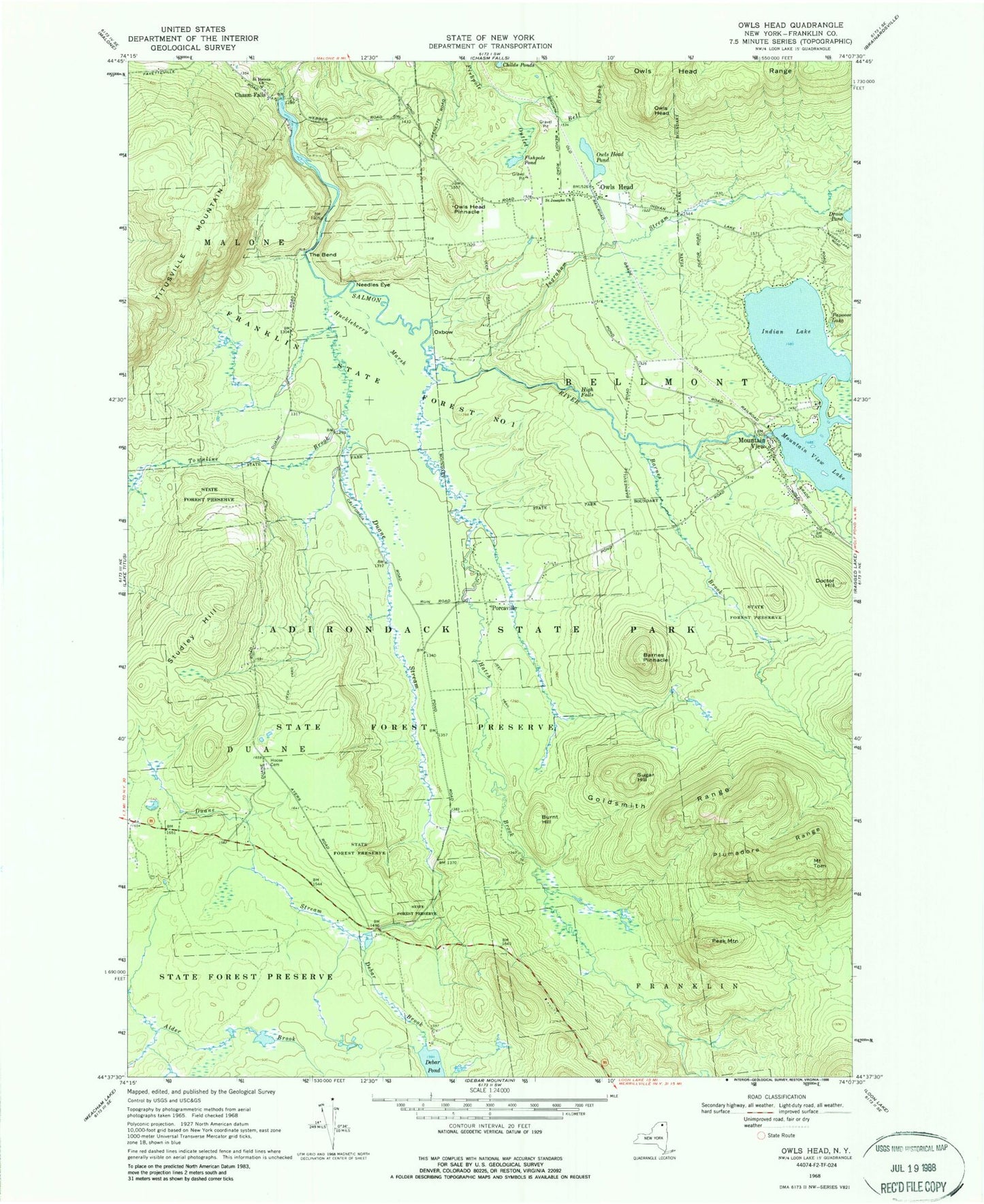
Classic USGS Owls Head New York 7.5'x7.5' Topo Map
Couldn't load pickup availability
Historical USGS topographic quad map of Owls Head in the state of New York. Typical map scale is 1:24,000, but may vary for certain years, if available. Print size: 24" x 27"
This quadrangle is in the following counties: Franklin.
The map contains contour lines, roads, rivers, towns, and lakes. Printed on high-quality waterproof paper with UV fade-resistant inks, and shipped rolled.
Contains the following named places: Barnes Brook, Barnes Pinnacle, Bell Brook, Brickyard Brook, Burnt Hill, Childs Ponds, Debar Brook, Doctor Hill, Duane Stream, Fishpole Pond, Franklin State Forest Number One, Goldsmith Range, Hatch Brook, High Falls, Hoose Cemetery, Huckleberry Marsh, Indian Lake, Ingraham Stream, Mountain View, Mountain View Lake, Needles Eye, Owls Head, Owls Head, Owls Head Pinnacle, Owls Head Pond, Owls Head Range, Oxbow, Papoose Lake, Peak Mountain, Plumadore Range, Saint Helens Church, Saint Josephs Church, Studley Hill, Sugar Hill, The Bend, Titusville Mountain, Mount Tom, Townline Brook, Porcaville, Saint Helen's Cemetery, Chasm Falls Methodist Cemetery, Mountain View Road Bridge, Owls Head Mountain View Volunteer Fire Department Station 1, Owls Head Post Office


