MyTopo
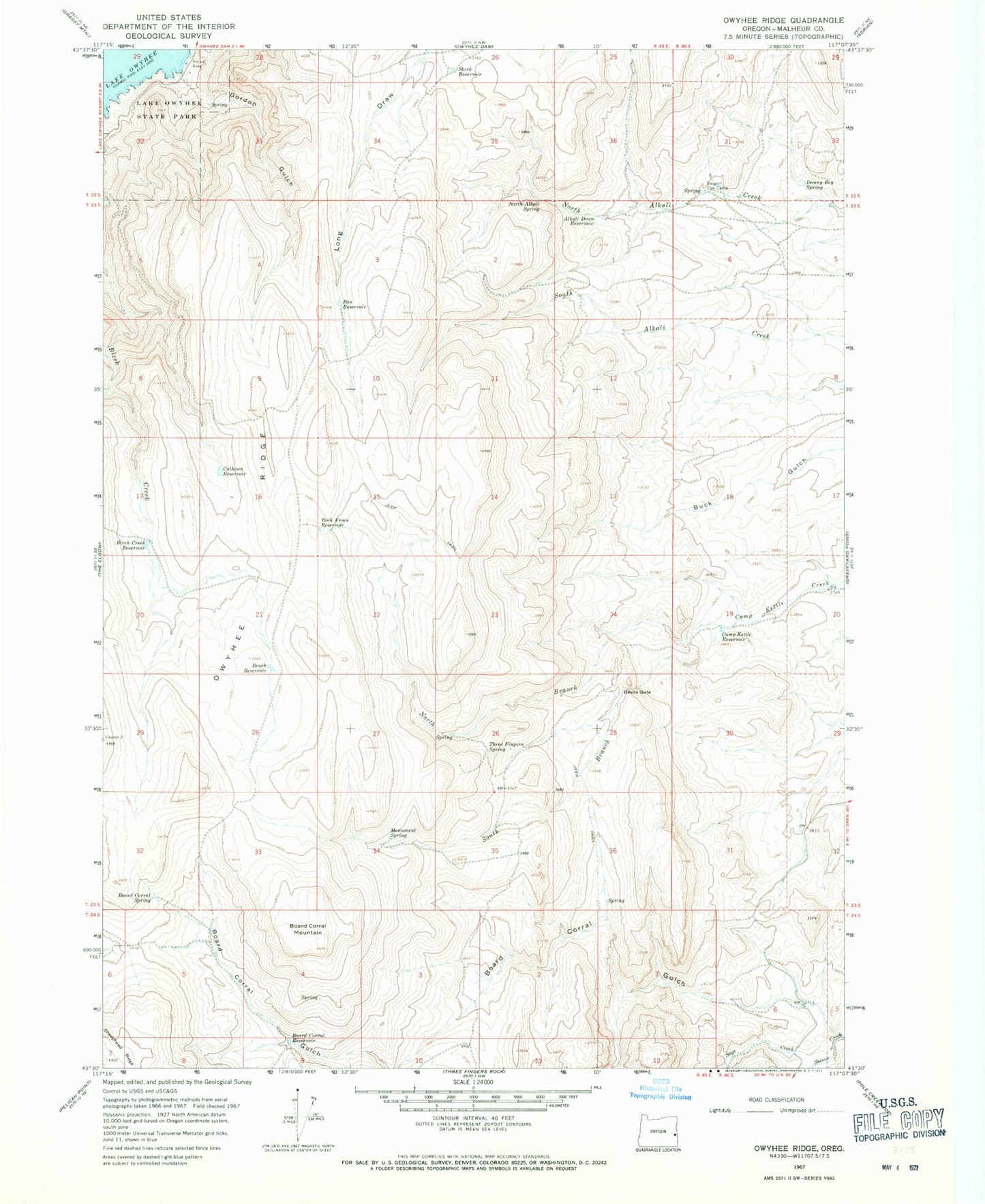
Classic USGS Owyhee Ridge Oregon 7.5'x7.5' Topo Map
Couldn't load pickup availability
Historical USGS topographic quad map of Owyhee Ridge in the state of Oregon. Map scale may vary for some years, but is generally around 1:24,000. Print size is approximately 24" x 27"
This quadrangle is in the following counties: Malheur.
The map contains contour lines, roads, rivers, towns, and lakes. Printed on high-quality waterproof paper with UV fade-resistant inks, and shipped rolled.
Contains the following named places: Alkali Draw Reservoir, Bas Reservoir, Bench Reservoir, Birch Creek Reservoir, Board Corral Mountain, Board Corral Reservoir, Board Corral Spring, Cabin Springs, Calhoun Reservoir, Camp Kettle Reservoir, Danny Boy Spring, Devils Gate, Gordon Creek, Gordon Gulch, Lake Owyhee Gordon Gulch Day Use Boat Ramp, Lake Owyhee State Park, Monument Spring, North Alkali Spring, North Branch Camp Kettle Creek, Rock Fence Reservoir, Sage Creek, South Branch Camp Kettle Creek, Stark Reservoir, Swigert Cow Camp, The Tongue, Three Fingers Spring