MyTopo
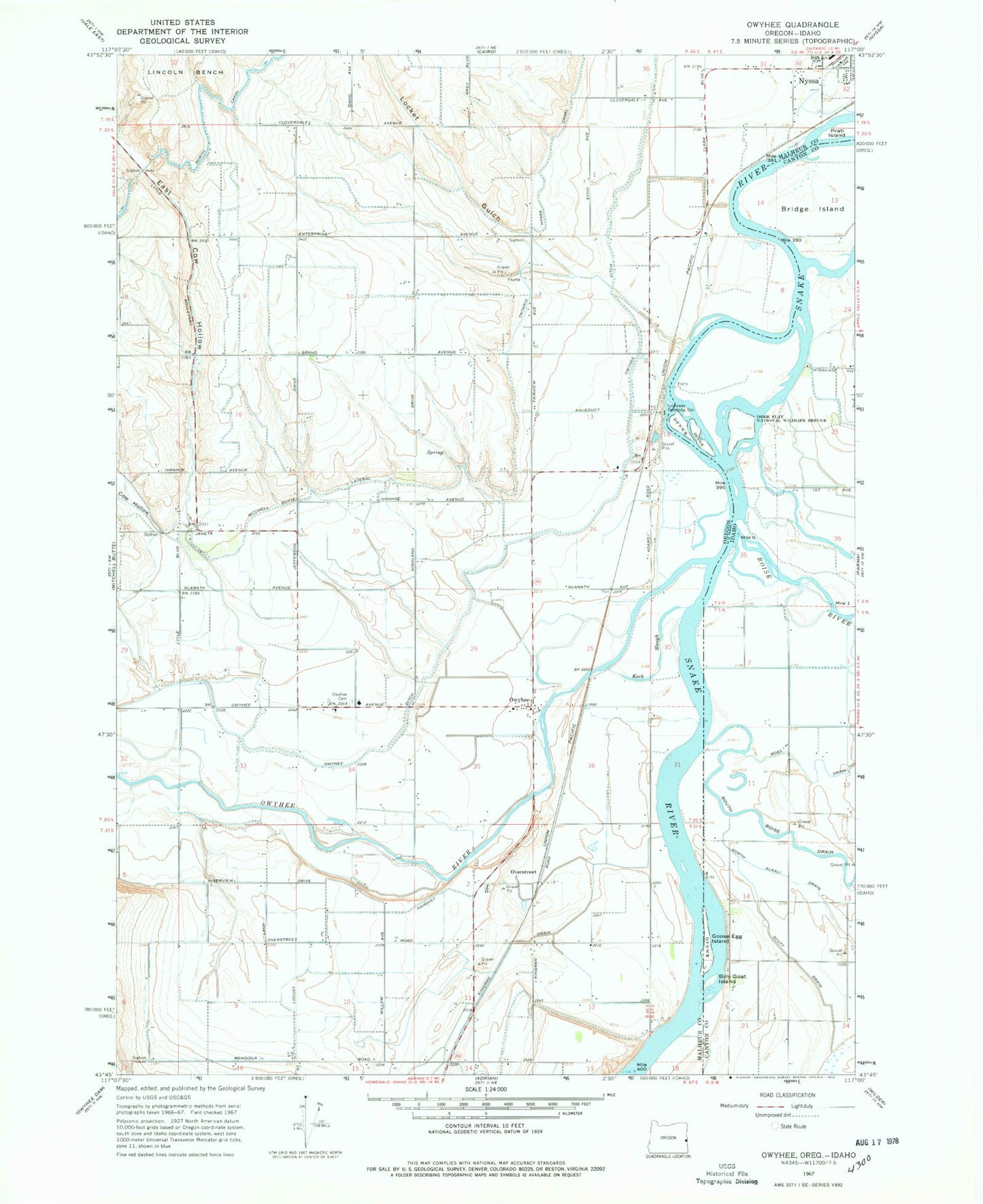
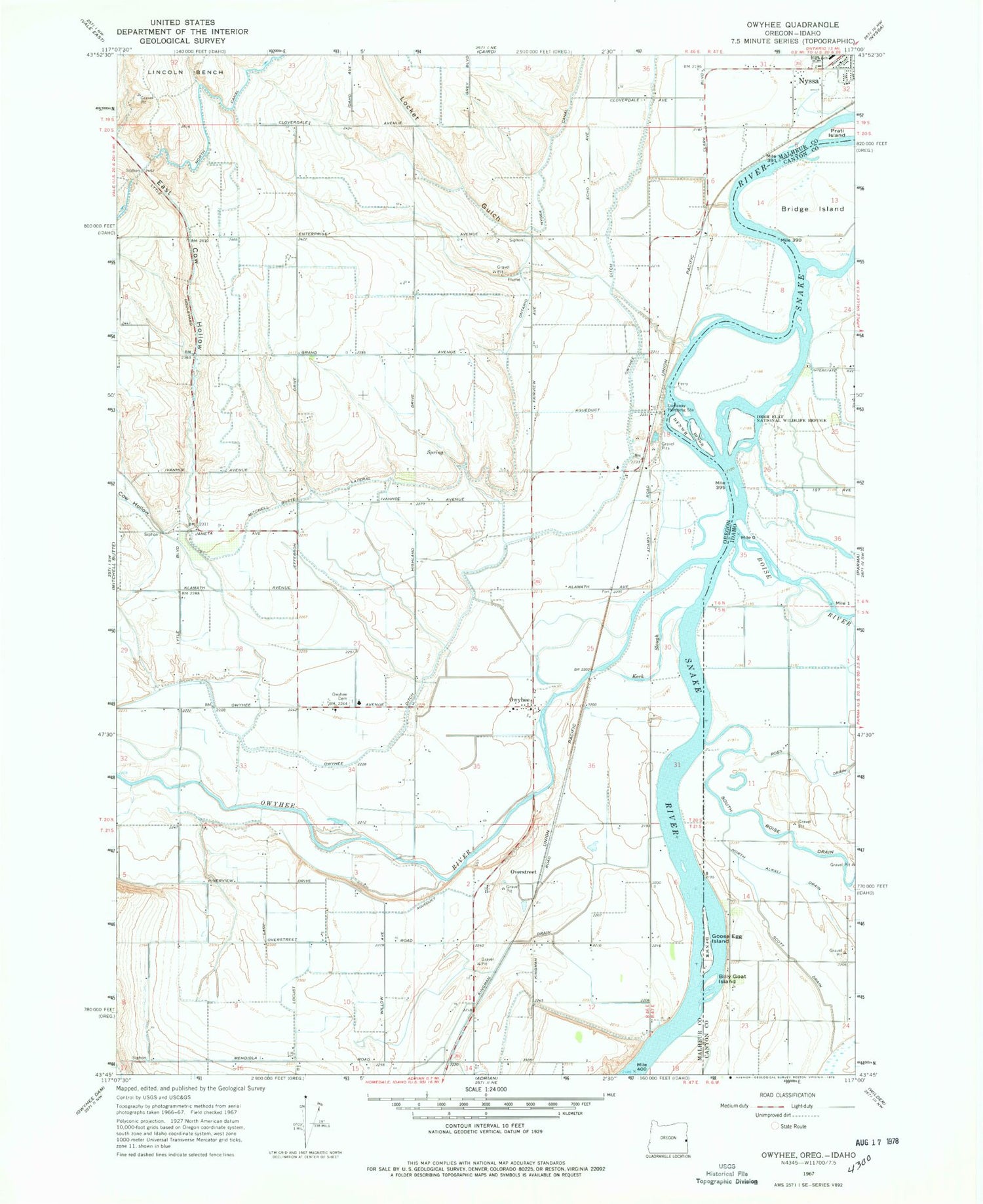
Classic USGS Owyhee Oregon 7.5'x7.5' Topo Map
Couldn't load pickup availability
Historical USGS topographic quad map of Owyhee in the states of Oregon, Idaho. Map scale may vary for some years, but is generally around 1:24,000. Print size is approximately 24" x 27"
This quadrangle is in the following counties: Canyon, Malheur.
The map contains contour lines, roads, rivers, towns, and lakes. Printed on high-quality waterproof paper with UV fade-resistant inks, and shipped rolled.
Contains the following named places: Big Cottonwood Island, Billy Goat Island, Boise River, Bridge Island, Cow Hollow, Dunaway, Dunaway Pumping Station, East Cow Hollow, Fort Boise, Fort Boise Wildlife Management Area, Gold Island, Goose Egg Island, Heron Island, Keck Slough, Kingman, Kingman Drain, Kingman Kolony, Locket Gulch, Mitchell Butte Lateral, Musser, North Alkali Drain, North Canal, Nyssa Bench, Nyssa Rodeo Grounds, Overstreet, Owyhee, Owyhee Cemetery, Owyhee Ditch, Owyhee Division, Owyhee Ferry Post Office, Owyhee Post Office, Owyhee River, Prati Island, Ralphs Pond, Richland, Ross Drain, Sand Hollow Creek, Sand Run Gulch, Scott Drain, Settlers Island, South Boise Drain, Swan Pond, Ward Drain