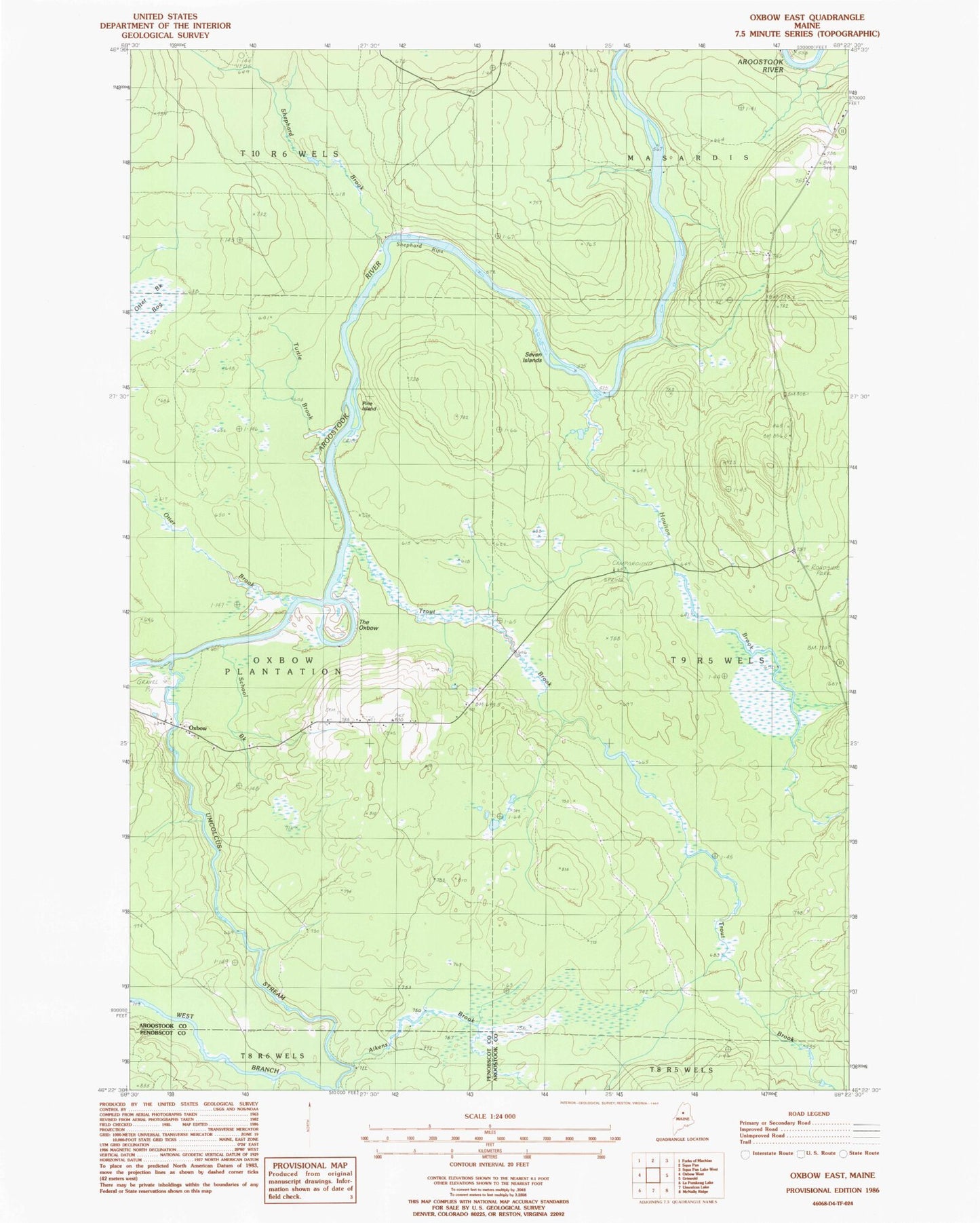
MyTopo
Classic USGS Oxbow East Maine 7.5'x7.5' Topo Map
Couldn't load pickup availability
Historical USGS topographic quad map of Oxbow East in the state of Maine. Map scale may vary for some years, but is generally around 1:24,000. Print size is approximately 24" x 27"
This quadrangle is in the following counties: Aroostook, Penobscot.
The map contains contour lines, roads, rivers, towns, and lakes. Printed on high-quality waterproof paper with UV fade-resistant inks, and shipped rolled.
Contains the following named places: Aikens Brook, Camp Dana, Cold Spring Campsite, East Branch Umcolcus Stream, East End School, Houlton Brook, Otter Brook, Otter Brook Bog, Oxbow, Oxbow Cemetery, Pine Island, School Brook, Seven Islands, Shephard Brook, Shephard Rips, The Oxbow, Trout Brook, Turtle Brook, Umcolcus Stream, Willard Cemetery