MyTopo
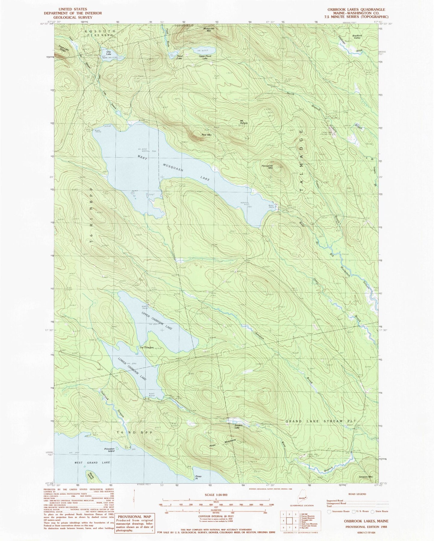
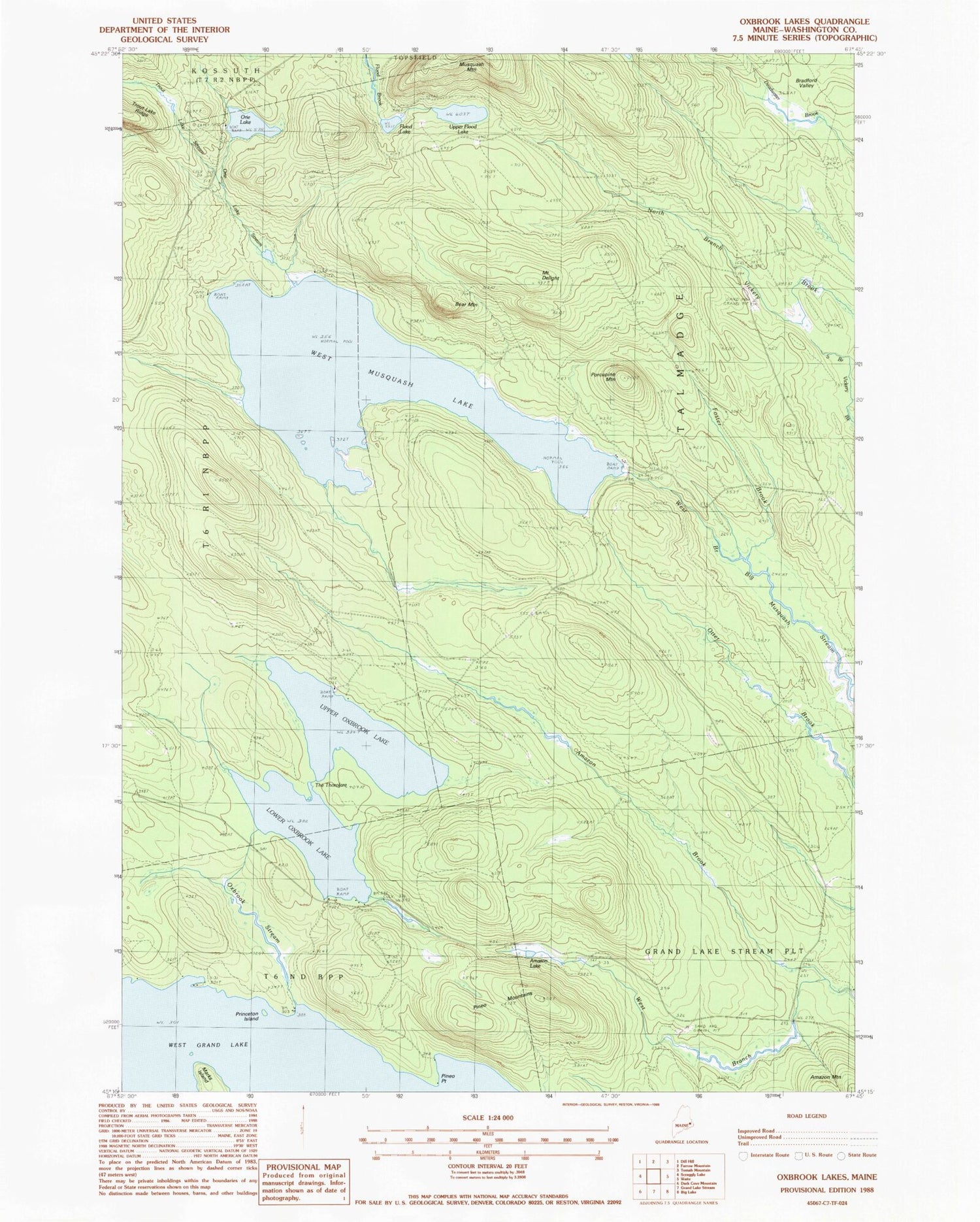
Classic USGS Oxbrook Lakes Maine 7.5'x7.5' Topo Map
Couldn't load pickup availability
Historical USGS topographic quad map of Oxbrook Lakes in the state of Maine. Typical map scale is 1:24,000, but may vary for certain years, if available. Print size: 24" x 27"
This quadrangle is in the following counties: Washington.
The map contains contour lines, roads, rivers, towns, and lakes. Printed on high-quality waterproof paper with UV fade-resistant inks, and shipped rolled.
Contains the following named places: Amazon Lake, Bear Mountain, Bradford Valley, Mount Delight, Flood Lake, Foster Brook, Lower Oxbrook Lake, Orie Lake, Orie Lake Stream, Oxbrook Stream, Pineo Mountains, Pineo Point, Porcupine Mountain, Princeton Island, The Thorofare, Trout Lake Stream, Upper Flood Lake, Upper Oxbrook Lake, West Branch Amazon Brook, West Musquash Lake, Town of Talmadge