MyTopo
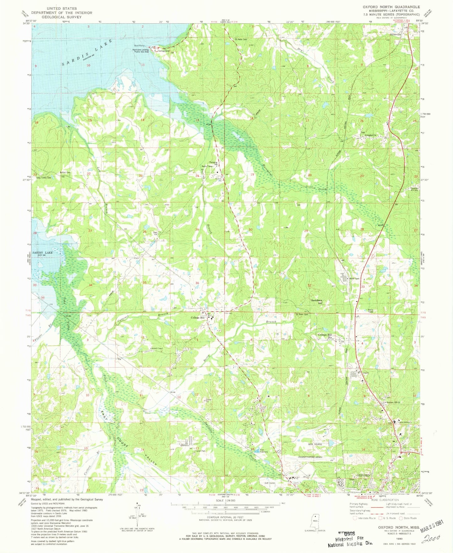
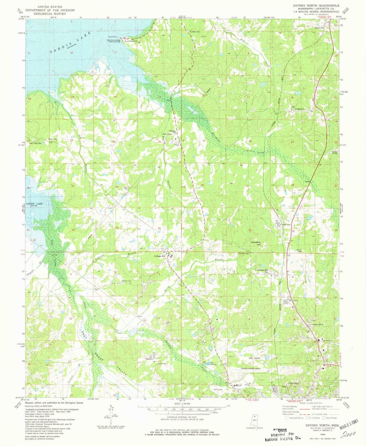
Classic USGS Oxford North Mississippi 7.5'x7.5' Topo Map
Couldn't load pickup availability
Historical USGS topographic quad map of Oxford North in the state of Mississippi. Map scale may vary for some years, but is generally around 1:24,000. Print size is approximately 24" x 27"
This quadrangle is in the following counties: Lafayette.
The map contains contour lines, roads, rivers, towns, and lakes. Printed on high-quality waterproof paper with UV fade-resistant inks, and shipped rolled.
Contains the following named places: Berry Branch, Bishop Place, Bishop Store, Buford Cemetery, Buford Chapel, Bufords Store, Cataract Branch, College Hill, College Hill Cemetery, College Hill Heights, College Hill Presbyterian Church, College Hill Station, Dunlap Branch, East Goose Valley, Galloway Pond Dam, Goose Creek, Hammitt Hill Church, Hamrick Hill Church, Hurricane Creek, Hurricane Landing Public Use Area, Jack McCormick Pond Dam, Johnson Pond Dam, Jordan Church, Lafayette County Fire Department Station 10 Central, Lafayette County Fire Department Station 4 College Hill, Lafayette County Fire Department Station 7, Lakeway Gardens, Liberty Hill Church, Logan School, Molly Barr Cove, North Oxford Baptist Church, North Oxford Cemetery, Oxford Fire Department Station 1 Headquarters, Oxford Police Department, Oxford Post Office, Paine Pond Dam, Pine Grove Cemetery, Pine Grove Church, Pine Grove School, Plants Branch, Providence Church, Rieves Store, Saddlers Hill, Saint John Church, Saint Johns Cemetery, Saint Peter Cemetery, Saint Peter Church, Springfield Missionary Baptist Church, State Migratory Waterfowl Refuge, Supervisor District 3, Tara Estates, Toby Tubby Cemetery, Toby Tubby School, University-Oxford Airport, Waller Pond Dam, West Goose Valley


