MyTopo
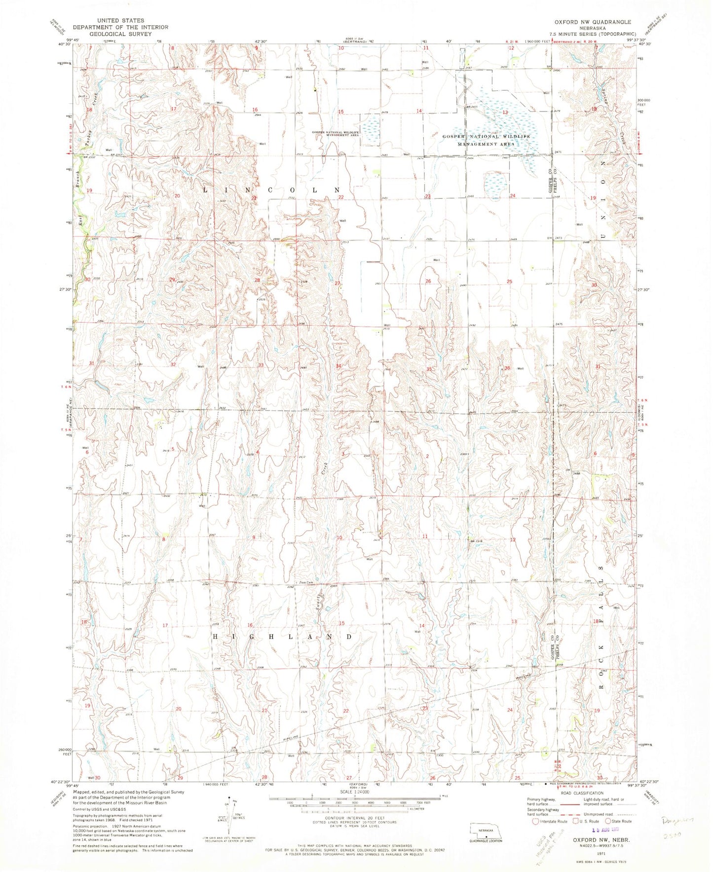
Classic USGS Oxford NW Nebraska 7.5'x7.5' Topo Map
Couldn't load pickup availability
Historical USGS topographic quad map of Oxford NW in the state of Nebraska. Map scale may vary for some years, but is generally around 1:24,000. Print size is approximately 24" x 27"
This quadrangle is in the following counties: Gosper, Phelps.
The map contains contour lines, roads, rivers, towns, and lakes. Printed on high-quality waterproof paper with UV fade-resistant inks, and shipped rolled.
Contains the following named places: Bailey Dam, Bailey Reservoir, Ebneier Dam, Ebneier Reservoir, Gardner Dam, Gardner Reservoir, Gardner-Larson Dam, Gardner-Larson Reservoir, Gosper County Waterfowl Production Area, Gosper National Wildlife Management Area, Highland Election Precinct, King Dam, King Reservoir, Lincoln Election Precinct, Township of Highland, Township of Lincoln, Walters Dam, Walters Reservoir, Zion Cemetery, ZIP Code: 68927