MyTopo
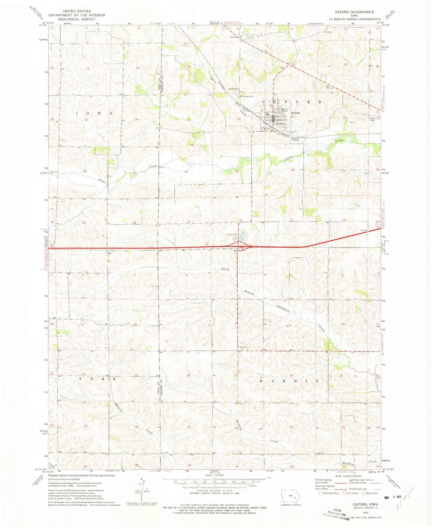
Classic USGS Oxford Iowa 7.5'x7.5' Topo Map
Couldn't load pickup availability
Historical USGS topographic quad map of Oxford in the state of Iowa. Map scale may vary for some years, but is generally around 1:24,000. Print size is approximately 24" x 27"
This quadrangle is in the following counties: Iowa, Johnson.
The map contains contour lines, roads, rivers, towns, and lakes. Printed on high-quality waterproof paper with UV fade-resistant inks, and shipped rolled.
Contains the following named places: Anchored in Faith Gospel Church, Boltonville, Boltonville Post Office, City of Oxford, Clear Creek Elementary School, Dakota Mobile Home Park, Mount Calvary Cemetery, Oakland Public Library, Oxford, Oxford Cemetery, Oxford City Hall, Oxford Fire Department, Oxford Post Office, Parkview Mobile Home Park, Rhine Creek, Saint Marys Church, Sleepy Hollow Campground, Township of Hardin, Township of Oxford, United Methodist Church, ZIP Code: 52322