MyTopo
Classic USGS Oxford New York 7.5'x7.5' Topo Map
Couldn't load pickup availability
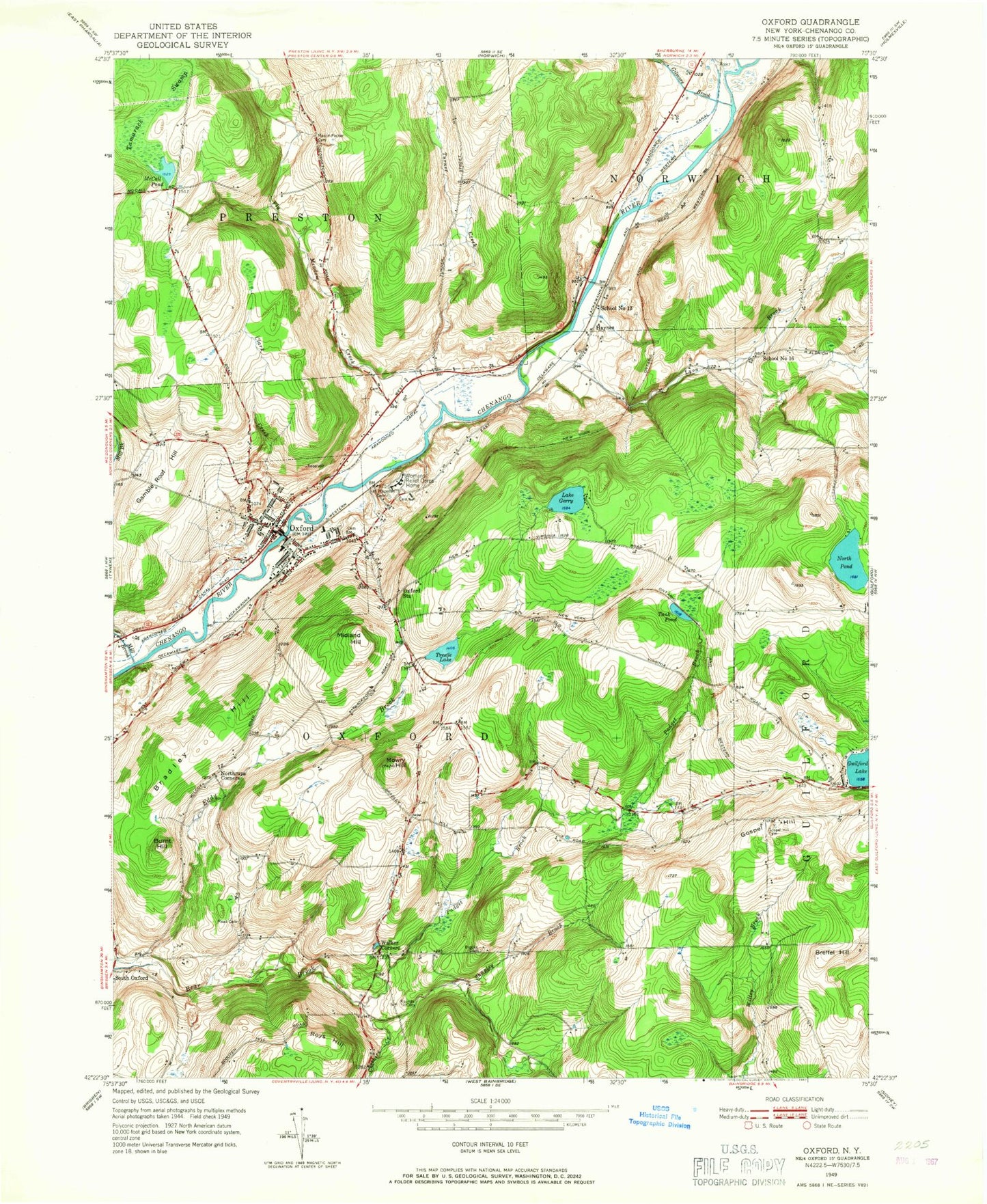
Historical USGS topographic quad map of Oxford in the state of New York. Map scale may vary for some years, but is generally around 1:24,000. Print size is approximately 24" x 27"
This quadrangle is in the following counties: Chenango.
The map contains contour lines, roads, rivers, towns, and lakes. Printed on high-quality waterproof paper with UV fade-resistant inks, and shipped rolled.
Contains the following named places: Bethel Church, Blackman Cemetery, Blue Stone Golf Course, Bradley Hill, Breffel Hill, Brooks Cemetery, Burnt Hill, Chenango County, Cheshire Creek, Clark Creek, Coventry Station, Faith Bible Church, First Congregational Church, Fly Meadow Creek, Gamble Roof Hill, Gilmore Brook, Gospel Hill, Gospel Hill Cemetery, Haynes, Kingdom Hall of Jehovahs Witnesses, Lake Gerry, Lyon Brook, Many Maples Farm, Mason - Packer Cemetery, McCall Pond, Mead Cemetery, Midland Hill, Mill Brook, Millbrook Cemetery, Moore Cemetery, Mowry Hill, New York State Veterans Home Cemetery, New York State Veterans Home of Oxford, North Pond, Northrups Corners, Oxford, Oxford - McDonough United Methodist Church, Oxford Academy And Central School, Oxford Academy High School, Oxford Academy Primary School, Oxford Baptist Church, Oxford Fire Department, Oxford Memorial Library, Oxford Post Office, Oxford Station, Padget Brook, Riverview Cemetery, Rounds Cemetery, Roys Hill, Saint Joseph Cemetery, Saint Joseph's Roman Catholic Church, Saint Pauls Episcopal Church, School Number 13, School Number 16, Shapley Brook, South Oxford, State Street Bridge, Tamarack Swamp, Tank Pond, Temple Baptist Church, Town of Oxford, Trestle Lake, Turner Creek, Van Wagenen Cemetery, Village Cemetery, Village of Oxford, Walker Corners, Washington Park, Womans Relief Corps Home


