MyTopo
Classic USGS Oxford North Carolina 7.5'x7.5' Topo Map
Couldn't load pickup availability
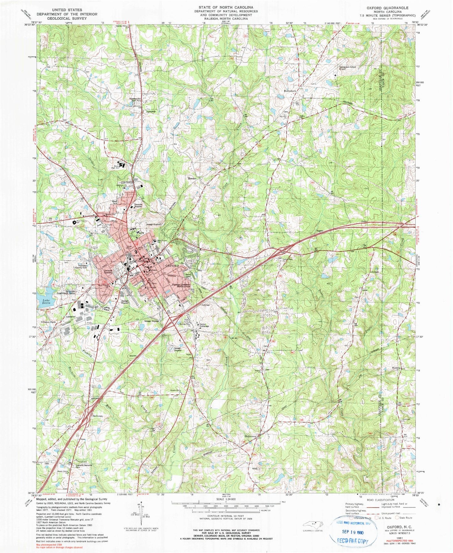
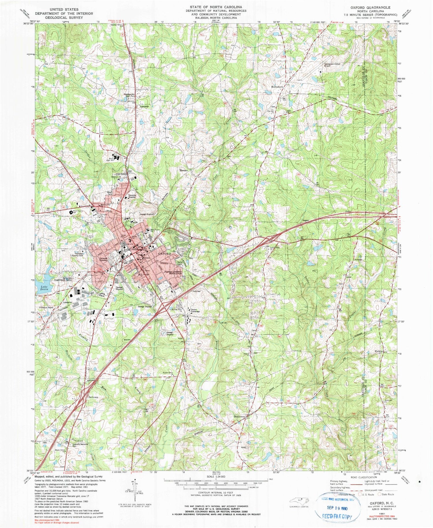
Historical USGS topographic quad map of Oxford in the state of North Carolina. Map scale may vary for some years, but is generally around 1:24,000. Print size is approximately 24" x 27"
This quadrangle is in the following counties: Granville, Vance.
The map contains contour lines, roads, rivers, towns, and lakes. Printed on high-quality waterproof paper with UV fade-resistant inks, and shipped rolled.
Contains the following named places: Antioch - Fishing Creek Volunteer Fire Department, Antioch Church, Belltown, Big Zion Church, Central Orphanage, City of Oxford, Coon Creek, Credle School, Crews Family Cemetery, D N Hix Junior High School, Delrayno Church, Dickerson, Dickerson Lake, Dickerson Lake Dam, East Branch Barker Creek, Elmwood Cemetery, Grace Church, Granville County Courthouse, Granville County Emergency Medical Services Station 1, Granville County Sheriff's Office, Granville Medical Center, Granville Memorial Park, Hachers Run, Hancock Lake, Hancock Lake Dam, Hardies Grove Church, Henderson-Oxford Airport, Hilltop Village Shopping Center, Horner, Huntsboro, Joe Hamme Senior Lake Dam, Joe Hamme Sr Lake, Jordan Creek, Knotts Grove Church, Lake Devin Dam, Mary Potter School, Meadowview Memorial Park, Morning Star Church, Newlight Church, North Carolina State Highway Patrol Troop C District 7 Substation, Oak Plaza, Oxford, Oxford City Hall, Oxford Fire Department, Oxford Police Department, Oxford Post Office, Oxford Tobacco Research Station, Plummer Cheatham Memorial Park, Poplar Creek, Raleigh Road Church, Rehoboth Church, Saint Cyprians Church, Saint Peters Church, Salem Church, Salem School, Shady Grove Church, South Branch Barker Creek, Tabbs Creek Church, Tabbs Creek School, Thorndale Country Club, Township of Fishing Creek, Township of Oxford, Vance-Granville Institute Pond, Watkins, WCBQ-AM (Oxford), Webb High School, West Branch Barker Creek, West Oxford Church, West Oxford School, Winding Oak Creek


