MyTopo
Classic USGS Ozark NE Michigan 7.5'x7.5' Topo Map
Regular price
$16.95
Regular price
Sale price
$16.95
Unit price
per
Couldn't load pickup availability
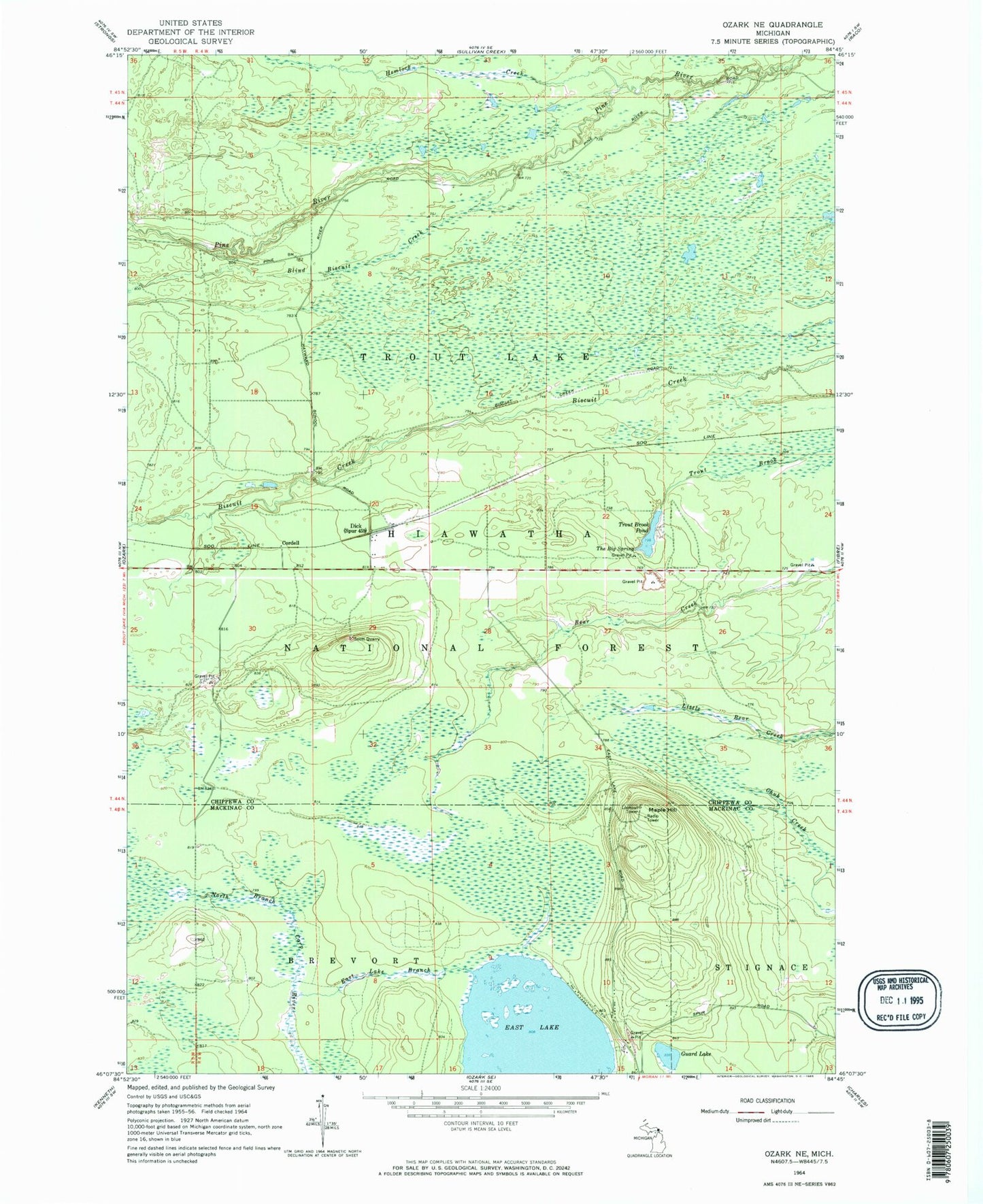
Historical USGS topographic quad map of Ozark NE in the state of Michigan. Map scale may vary for some years, but is generally around 1:24,000. Print size is approximately 24" x 27"
This quadrangle is in the following counties: Chippewa, Mackinac.
The map contains contour lines, roads, rivers, towns, and lakes. Printed on high-quality waterproof paper with UV fade-resistant inks, and shipped rolled.
Contains the following named places: Blind Biscuit Creek, Cordell, Dick, Dick Post Office, Dick Station, East Lake, East Lake Branch Carp River, Guard Lake, Haff Post Office, Hemlock Creek, Maple Hill, North Country Trail, Scott Quarry, The Big Spring, Trout Brook Pond, Trout Brook Pond Picnic Ground