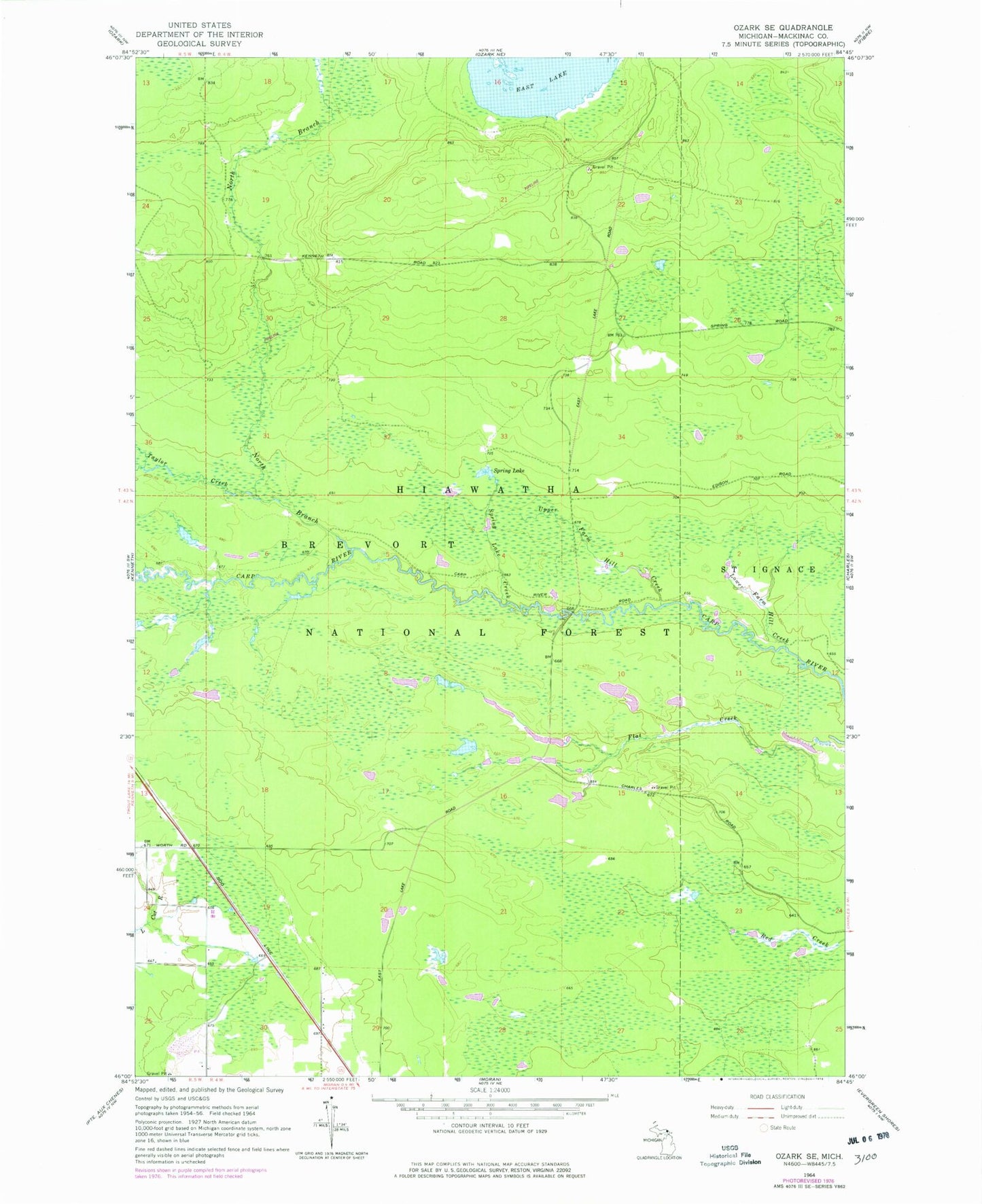
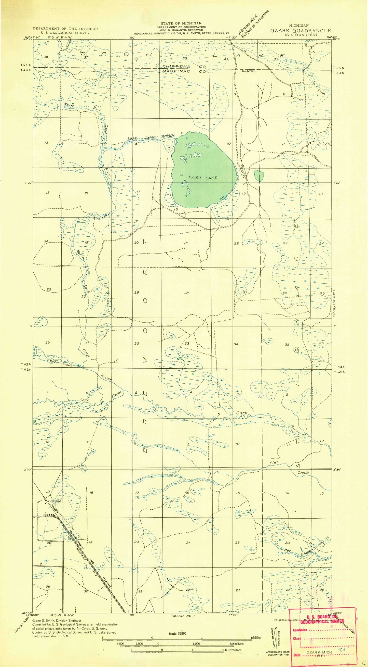
MyTopo
Classic USGS Ozark SE Michigan 7.5'x7.5' Topo Map
Regular price
$16.95
Regular price
Sale price
$16.95
Unit price
per
Couldn't load pickup availability
Historical USGS topographic quad map of Ozark SE in the state of Michigan. Typical map scale is 1:24,000, but may vary for certain years, if available. Print size: 24" x 27"
This quadrangle is in the following counties: Mackinac.
The map contains contour lines, roads, rivers, towns, and lakes. Printed on high-quality waterproof paper with UV fade-resistant inks, and shipped rolled.
Contains the following named places: Bissel Creek, Lower Farm Hill Creek, North Branch Carp River, Spring Lake, Spring Lake Creek, Taylor Creek, Upper Farm Hill Creek, Beaver Pond, Township of Brevort, Mackinac Wilderness, Carp Wild and Scenic River