MyTopo
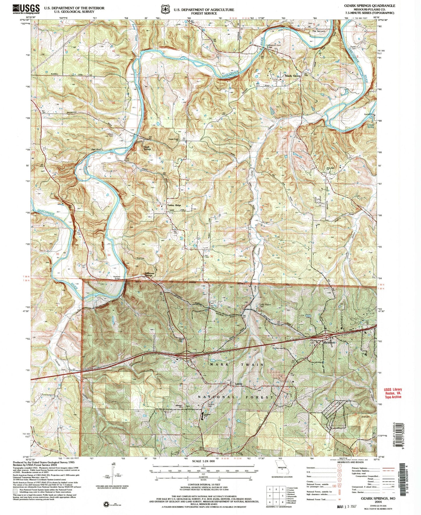
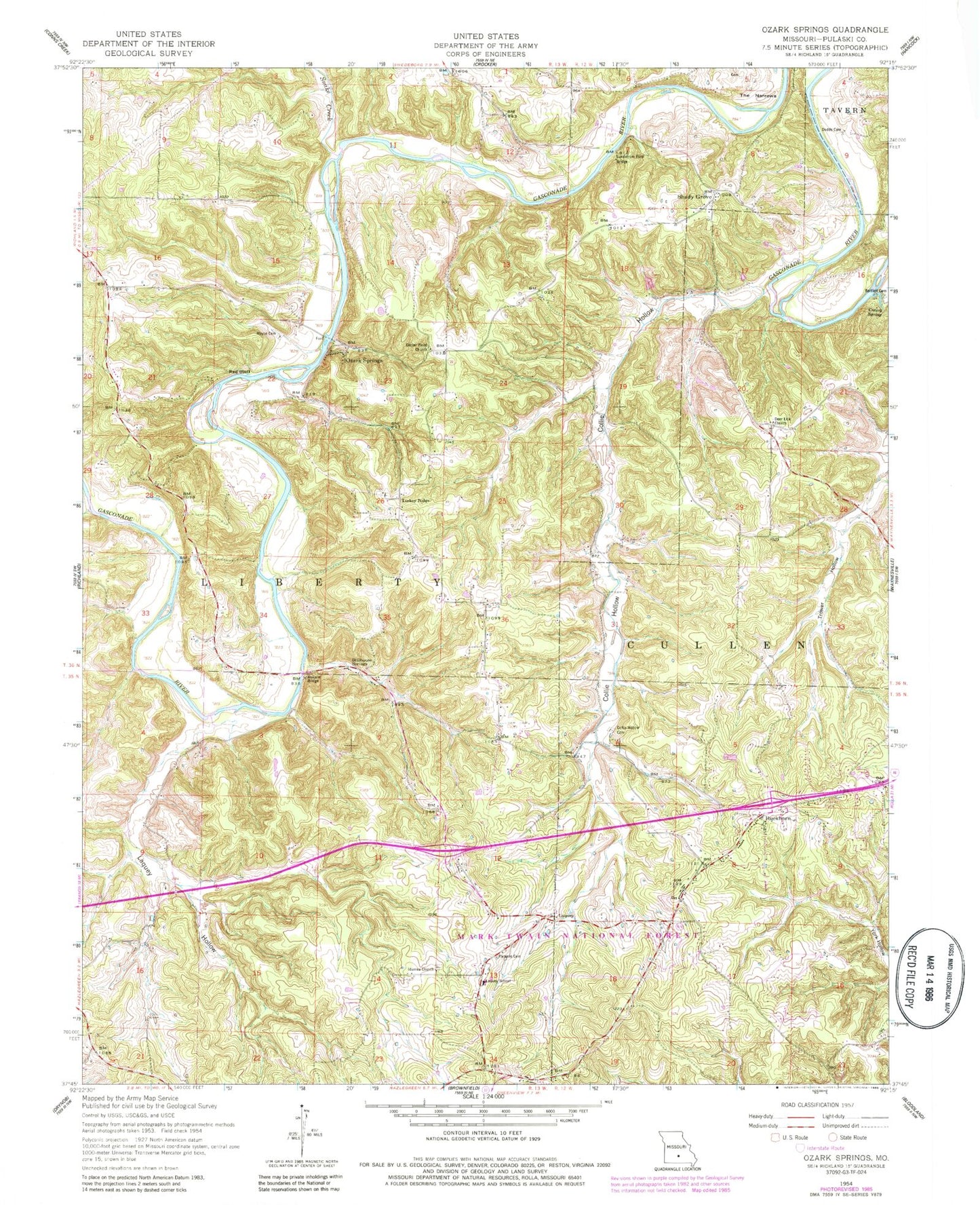
Classic USGS Ozark Springs Missouri 7.5'x7.5' Topo Map
Couldn't load pickup availability
Historical USGS topographic quad map of Ozark Springs in the state of Missouri. Typical map scale is 1:24,000, but may vary for certain years, if available. Print size: 24" x 27"
This quadrangle is in the following counties: Pulaski.
The map contains contour lines, roads, rivers, towns, and lakes. Printed on high-quality waterproof paper with UV fade-resistant inks, and shipped rolled.
Contains the following named places: Debruin (historical), Bartlett Cemetery, Buckhorn, Center Point Church, Collie Hollow, Collie Hollow Cemetery, Creasy Spring, Deer Lick Church, Dodds Cemetery, Idumea Church, Laquey, Laquey Hollow, Laquey School, Mayse Cemetery, Ozark Springs, Parsons Cemetery, Pippin Place, Red Bluff, Shady Grove, Snake Creek, Stillhouse Springs, The Narrows, Turkey Ridge, Richland Lake, Hickory Grove School, Turkey Ridge School, Laquey School, Friendship Church (historical), Moro School (historical), Paw Paw Lodge, Gasconade Heights, Buzzard Roost School (historical), Evans Place, Still House Resort (historical), Berean Church, Hilton School (historical), Pleasant Grove School (historical), Trower School (historical), Kieseweltter Resort, Idumea Church (historical), Lundstrum Ford Bridge, Mokane Bridge, Schultz Lake Dam, Schultz Lake, Township of Liberty, Waynesville Rural Fire Protection District Station 2, Laquey Post Office


