MyTopo
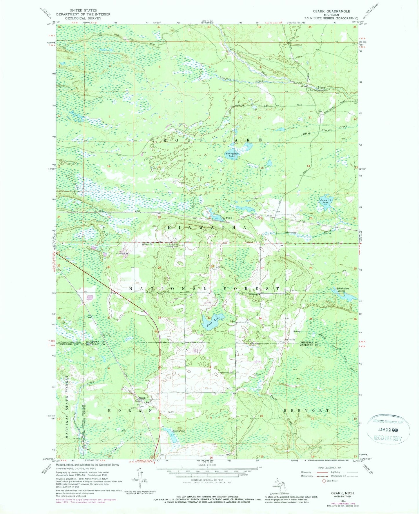
Classic USGS Ozark Michigan 7.5'x7.5' Topo Map
Couldn't load pickup availability
Historical USGS topographic quad map of Ozark in the state of Michigan. Map scale may vary for some years, but is generally around 1:24,000. Print size is approximately 24" x 27"
This quadrangle is in the following counties: Chippewa, Mackinac.
The map contains contour lines, roads, rivers, towns, and lakes. Printed on high-quality waterproof paper with UV fade-resistant inks, and shipped rolled.
Contains the following named places: Big Bear Ponds, Boaz Lake, Bobbygay Lake, Brethren Cemetery, Brethren Church, Camp Ten Pond, Dick Campground, Fiftyfour Pond, Koski Pond, Lumpson Creek, Old Dick, Ozark, Ozark Post Office, Ozark Station, Pine River Primitive Campground, Schlehubers Marsh, Township of Trout Lake, Trout Lake Lookout Tower