MyTopo
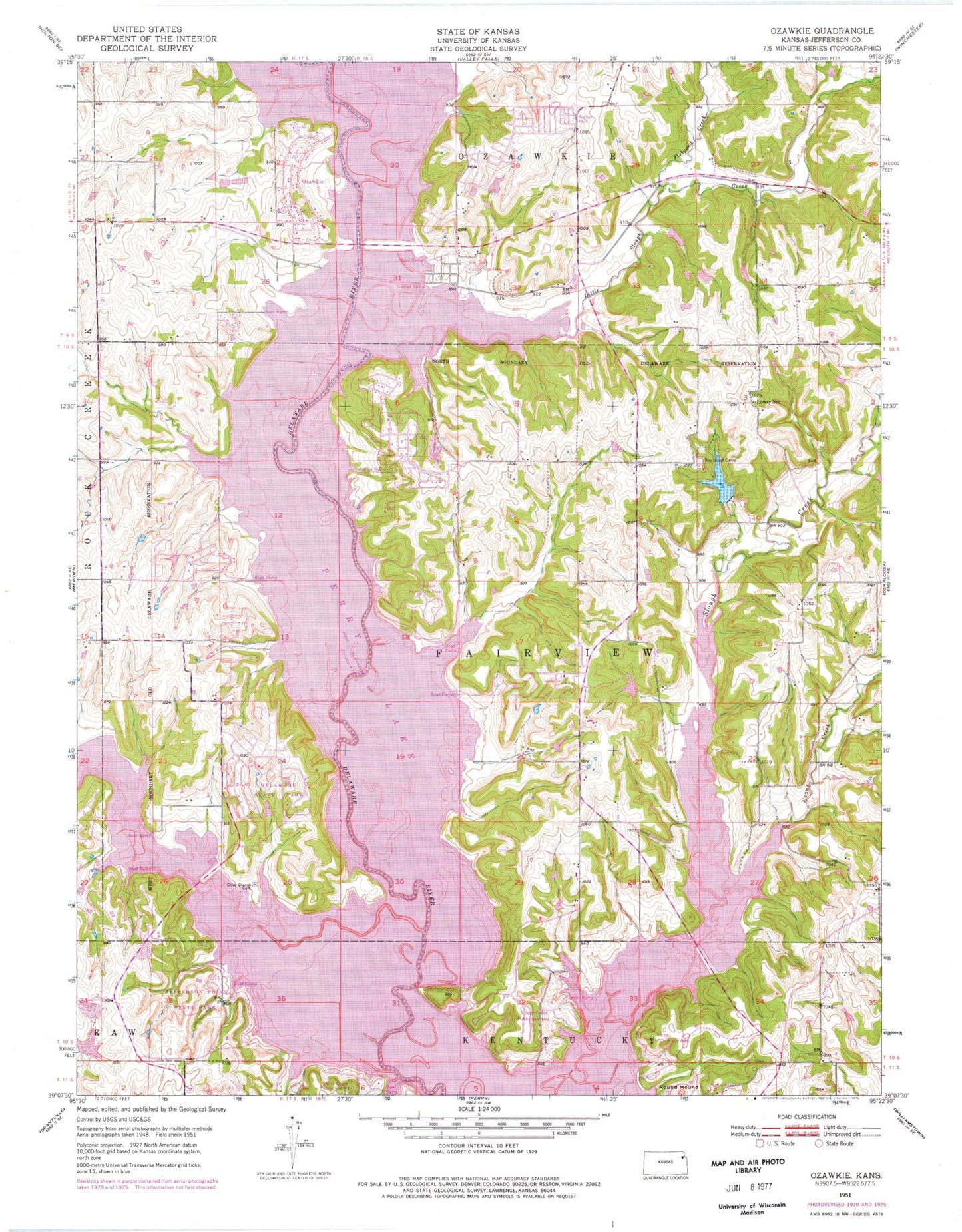
Classic USGS Ozawkie Kansas 7.5'x7.5' Topo Map
Couldn't load pickup availability
Historical USGS topographic quad map of Ozawkie in the state of Kansas. Typical map scale is 1:24,000, but may vary for certain years, if available. Print size: 24" x 27"
This quadrangle is in the following counties: Jefferson.
The map contains contour lines, roads, rivers, towns, and lakes. Printed on high-quality waterproof paper with UV fade-resistant inks, and shipped rolled.
Contains the following named places: Fishpond Creek, Slough Creek Public Use Area, Longview Public Use Area, Delaware State Park, Olive Branch Cemetery, Lowry School (historical), Ozawkie, Little Slough Creek, Perry Lake, Round Mound, Perry Public Use Area, Township of Fairview, Evans Creek, Old Town Public Use Area, Wind-N-Wave, Perry State Park, Camp Jayhawk, Slough Creek Public Use Area, Pleasant Hill (historical), Jacksonville (historical), Indian Ridge, Lake Shore, Lakeside Village, Lake Ridge, West Shore, Hilldale South, Hilldale, Jefferson County, Fairview Township Fire Department District 6, Jefferson County Fire District Number 7, City of Ozawkie, Keystone Learning Services School, Lakeside Village Campgrounds, Ozawkie Township Hall, Rock Creek Marina, Lake Perry Country Club, Ozawkie Post Office, Jefferson County Sewer District Number 6, Jefferson County Sewer District Number 7, Perry State Park North Boat Ramp, Perry State Park South Boat Ramp, Perry State Park Cottonwood Bridge Campground, Perry State Park Cougar Pass Campground, Perry State Park Eagle Landing Campground, Perry State Park Hobie Cove Campground, Perry State Park Pelican Point Campground, Perry State Park Wild Horse Campground, Perry State Park Office, Ozawkie Cemetery


