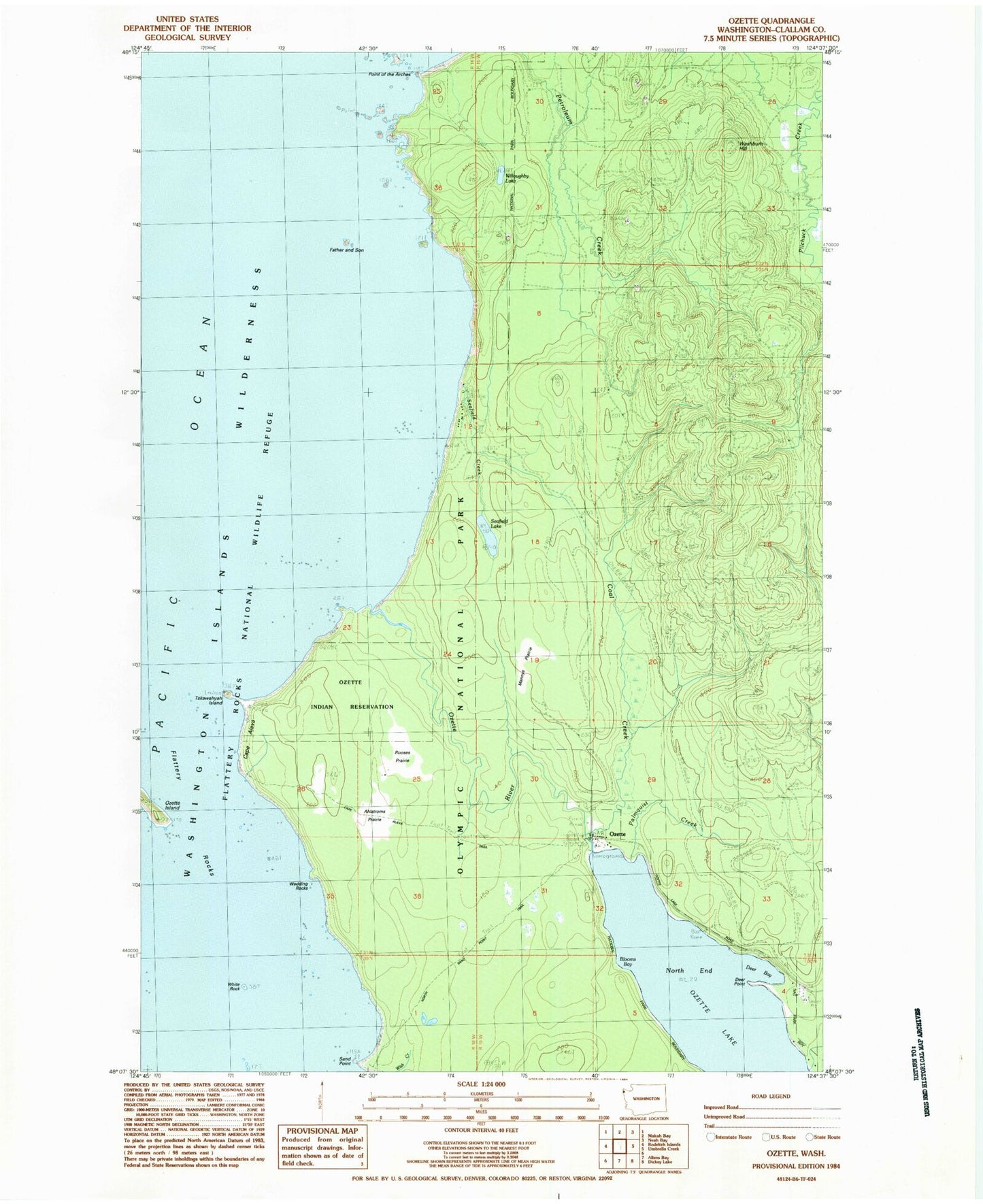
MyTopo
Classic USGS Ozette Washington 7.5'x7.5' Topo Map
Couldn't load pickup availability
Historical USGS topographic quad map of Ozette in the state of Washington. Typical map scale is 1:24,000, but may vary for certain years, if available. Print size: 24" x 27"
This quadrangle is in the following counties: Clallam.
The map contains contour lines, roads, rivers, towns, and lakes. Printed on high-quality waterproof paper with UV fade-resistant inks, and shipped rolled.
Contains the following named places: Ahlstroms Prairie, Blooms Bay, Cape Alava, Coal Creek, Deer Bay, Deer Point, Father and Son, Indian Village, Mannys Prairie, North End, Ozette Island, Ozette River, Palmquist Creek, Pilchuck Creek, Rooses Prairie, Sand Point, Seafield Lake, Tskawahyah Island, Umbrella Creek, Willoughby Lake, Ozette Indian Reservation (historical), Point of Arches, Wedding Rocks, Seafield Creek, Ozette, Washburn Hill, White Rock, Boca De Alava, Washington Islands Wilderness, Ozette Campground