MyTopo
Classic USGS Pablo Canyon Ranch Nevada 7.5'x7.5' Topo Map
Couldn't load pickup availability
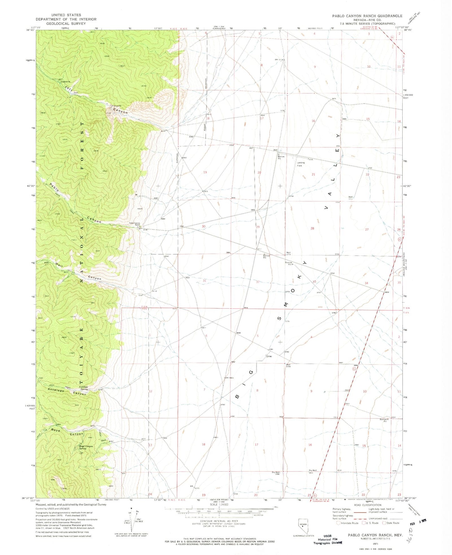
Historical USGS topographic quad map of Pablo Canyon Ranch in the state of Nevada. Map scale may vary for some years, but is generally around 1:24,000. Print size is approximately 24" x 27"
This quadrangle is in the following counties: Nye.
The map contains contour lines, roads, rivers, towns, and lakes. Printed on high-quality waterproof paper with UV fade-resistant inks, and shipped rolled.
Contains the following named places: Antelope Canyon, Antelope Creek, Antelope Spring, Boyd Canyon, Boyd Canyon Spring, Boyd Creek, Gibralter Silver Mines, Hadley, Hadley Airport, Jett, Jett Canyon, Jett Creek, Jett Post Office, Pablo, Pablo Canyon, Pablo Canyon Ranch, Pablo Creek, Round Mountain Airport, Round Mountain Fire Department, Round Mountain Post Office, Wall Canyon, Wall Creek