MyTopo
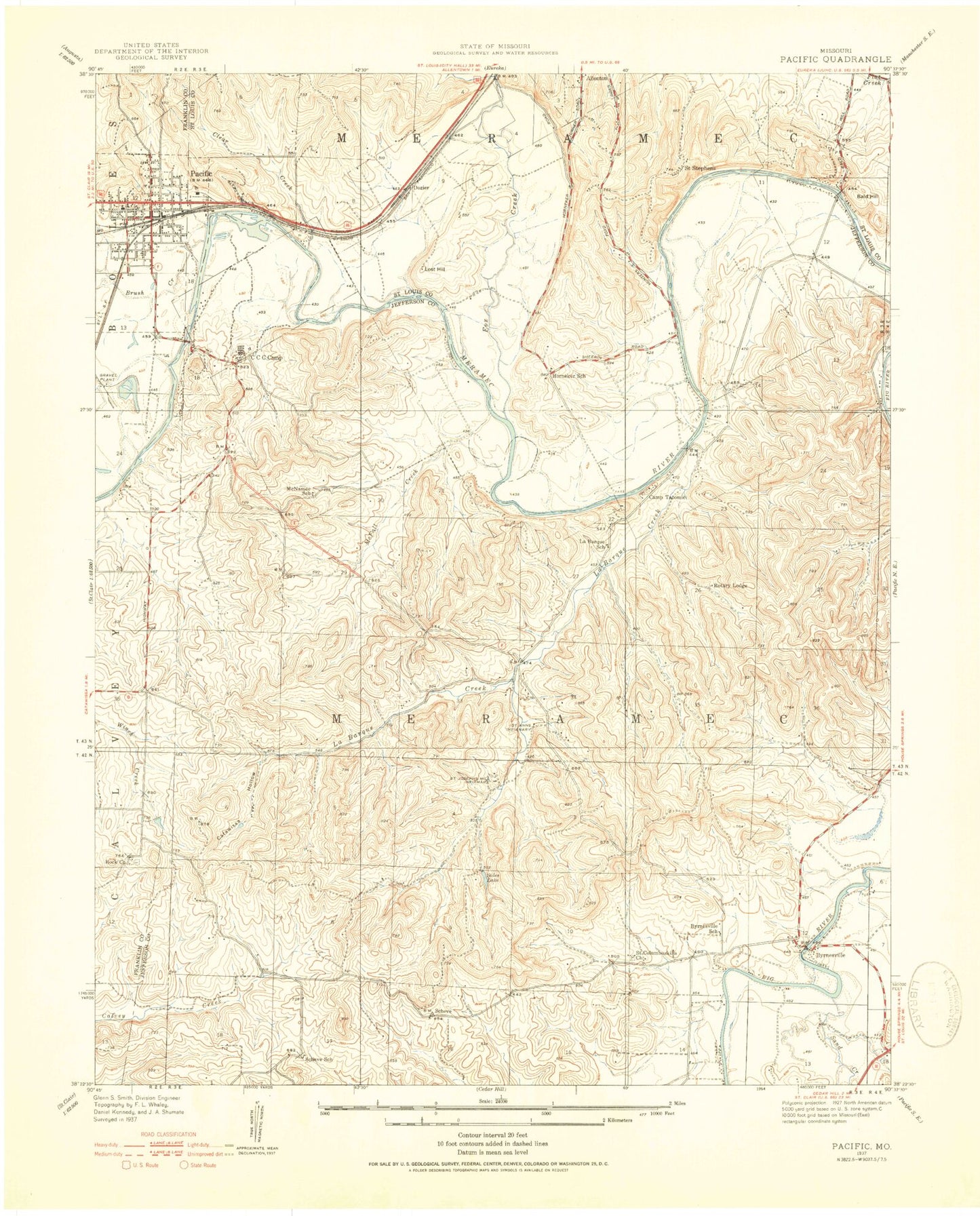
Classic USGS Pacific Missouri 7.5'x7.5' Topo Map
Couldn't load pickup availability
Historical USGS topographic quad map of Pacific in the state of Missouri. Typical map scale is 1:24,000, but may vary for certain years, if available. Print size: 24" x 27"
This quadrangle is in the following counties: Franklin, Jefferson, St. Louis.
The map contains contour lines, roads, rivers, towns, and lakes. Printed on high-quality waterproof paper with UV fade-resistant inks, and shipped rolled.
Contains the following named places: Buck Creek, Byrnesville, Catawissa Hollow, Father Dunn Camp, La Barque Creek, McFall Creek, Our Lady of Czestochowa Church, Rock Church, Sand Creek, Scheve Community Center, Saint Patricks School (historical), Pacific School, Pacific, Saint Josephs Hill Infirmary, McNamee School (historical), Scheve School (historical), Labargue School (historical), Byrnesville School (historical), La Barque Hills, Allenton School, Bald Hill, Brush Creek, Clear Creek, Fox Creek, Lost Hill, Saint Stephens Church, Ashland (historical), Lake Tekawitha Dam, Lake Tekakwitha, Fun Valley Dam, Fun Valley Lake, First Central Services Lake Dam, Zeman Lake Dam, Crystal Lake Dam, Alfred Buhl Junior Lake Dam, Buhl Lake, Gem Lake Dam, Gem Lake, Woodcliff Lake Dam, Car Lake, Rustic Hills Lake Dam, Rustic Hills Lake, Camp Solidarity Lake Dam, Lynch Lake Dam, Lynch Lake, Duncan Lake Dam, Township of Meramec, Cedar Hill Fire Protection District Station 3, Geggie Elementary School, LaBarque Creek Conservation Area, LaBarque Creek Census Designated Place, Village of Lake Tekakwitha, Eureka Fire Protection District Training Center, Eureka Fire Protection District House 1 Headquarters, Pacific Fire Protection District Station 3, La Barque Creek, Missouri Eastern Correctional Center, Pacific Post Office


