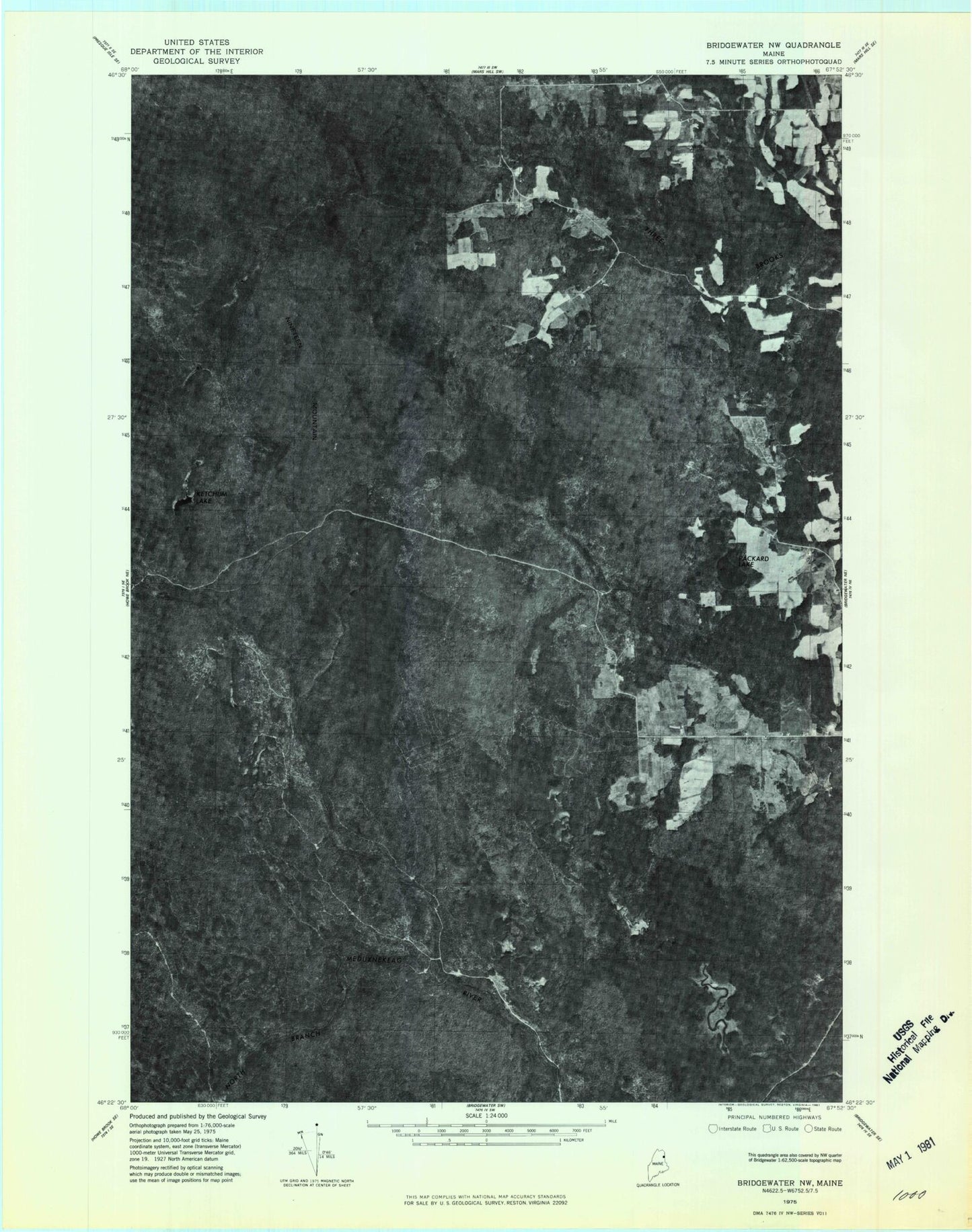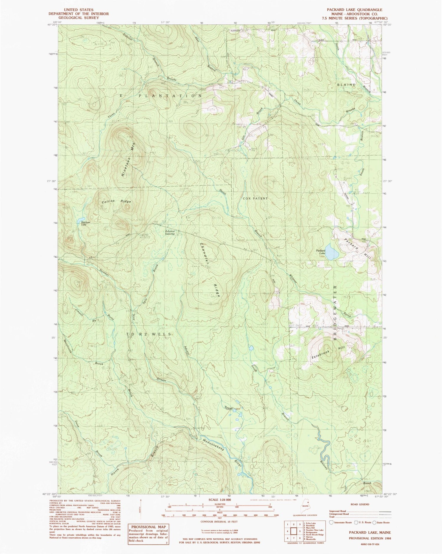
MyTopo
Classic USGS Packard Lake Maine 7.5'x7.5' Topo Map
Couldn't load pickup availability
Historical USGS topographic quad map of Packard Lake in the state of Maine. Map scale may vary for some years, but is generally around 1:24,000. Print size is approximately 24" x 27"
This quadrangle is in the following counties: Aroostook.
The map contains contour lines, roads, rivers, towns, and lakes. Printed on high-quality waterproof paper with UV fade-resistant inks, and shipped rolled.
Contains the following named places: Advent Brook, Advent Swamp, Aker Brook, Burnt Brook, Chandler Ridge, Collins Ridge, Cox Patent, Dunn Brook, East School, Estabrook Hill, Gin Brook, Jimson Brook, Ketchum Lake, Morehouse Brook, Nineteen Mountain, Number Nine Stream, Packard Hill, Packard Lake, Rideout Brook, Split Brook, Sweets Trail, TD R2 WELS, Township of E, ZIP Code: 04734