MyTopo
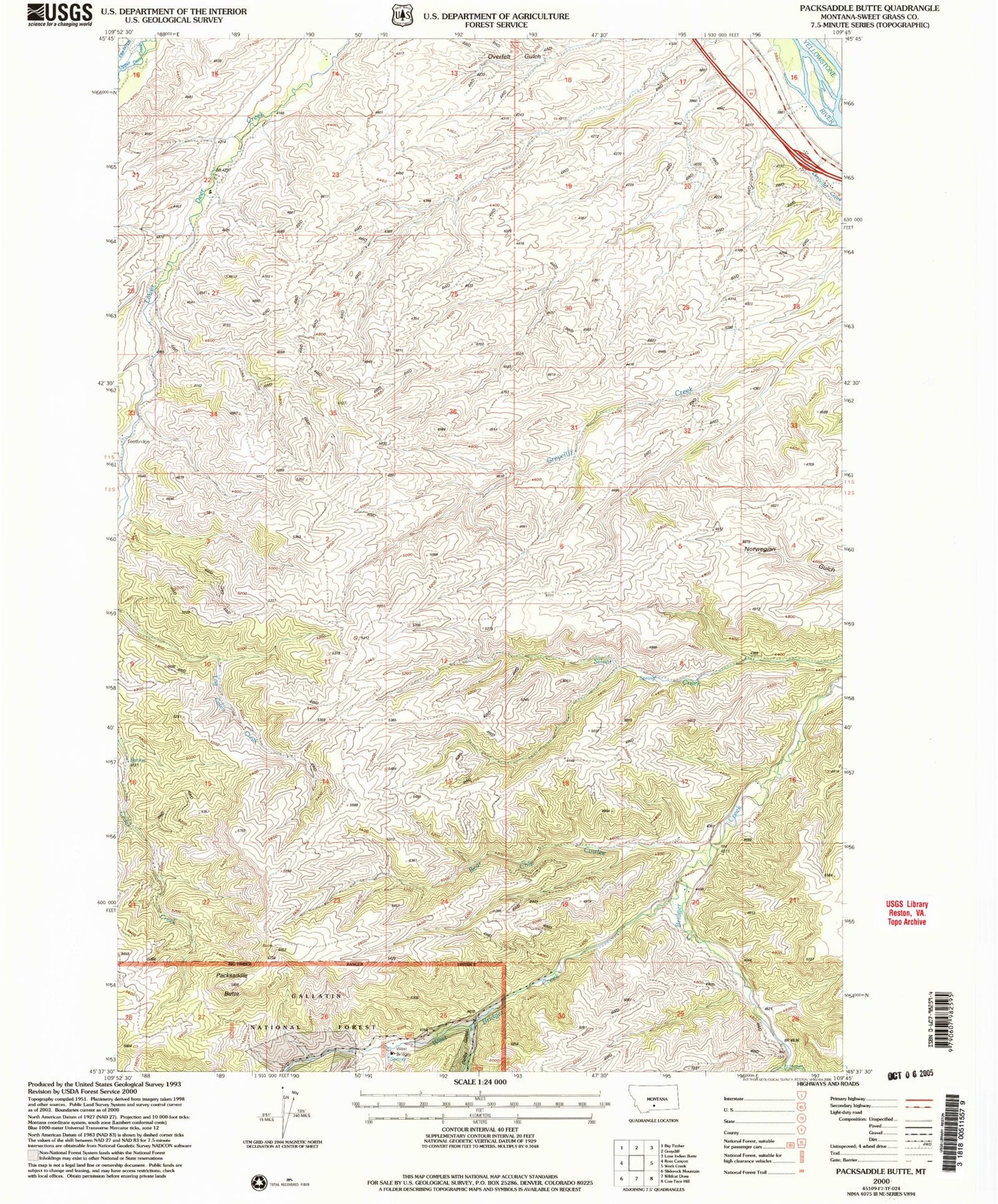
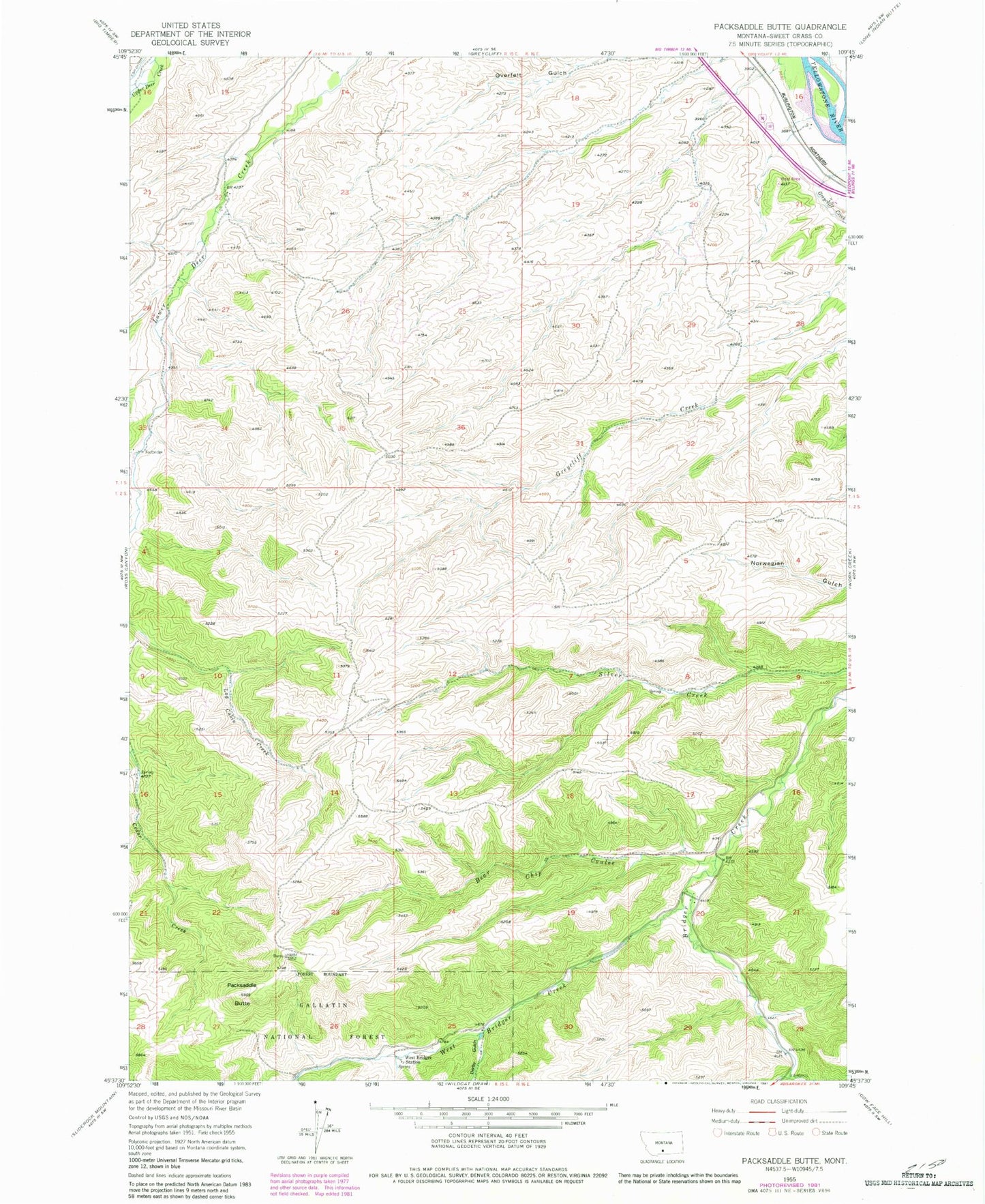
Classic USGS Packsaddle Butte Montana 7.5'x7.5' Topo Map
Couldn't load pickup availability
Historical USGS topographic quad map of Packsaddle Butte in the state of Montana. Map scale may vary for some years, but is generally around 1:24,000. Print size is approximately 24" x 27"
This quadrangle is in the following counties: Sweet Grass.
The map contains contour lines, roads, rivers, towns, and lakes. Printed on high-quality waterproof paper with UV fade-resistant inks, and shipped rolled.
Contains the following named places: 01S15E22ABCC01 Well, 01S15E22ACCC01 Spring, 01S16E17DCBA01 Well, 02S15E03ABBA01 Spring, 02S16E20ACCA01 Spring, Bear Chip Coulee, Black Butte Trail, Captain William Clark Historical Marker, Crazy Mountains Historical Marker, Derby Gulch, East Bridger Creek, Fahlgren Gulch, Greycliff Rest Area, Packsaddle Butte, Thomas Party Historical Marker, West Bridger Creek, West Bridger Station


