MyTopo
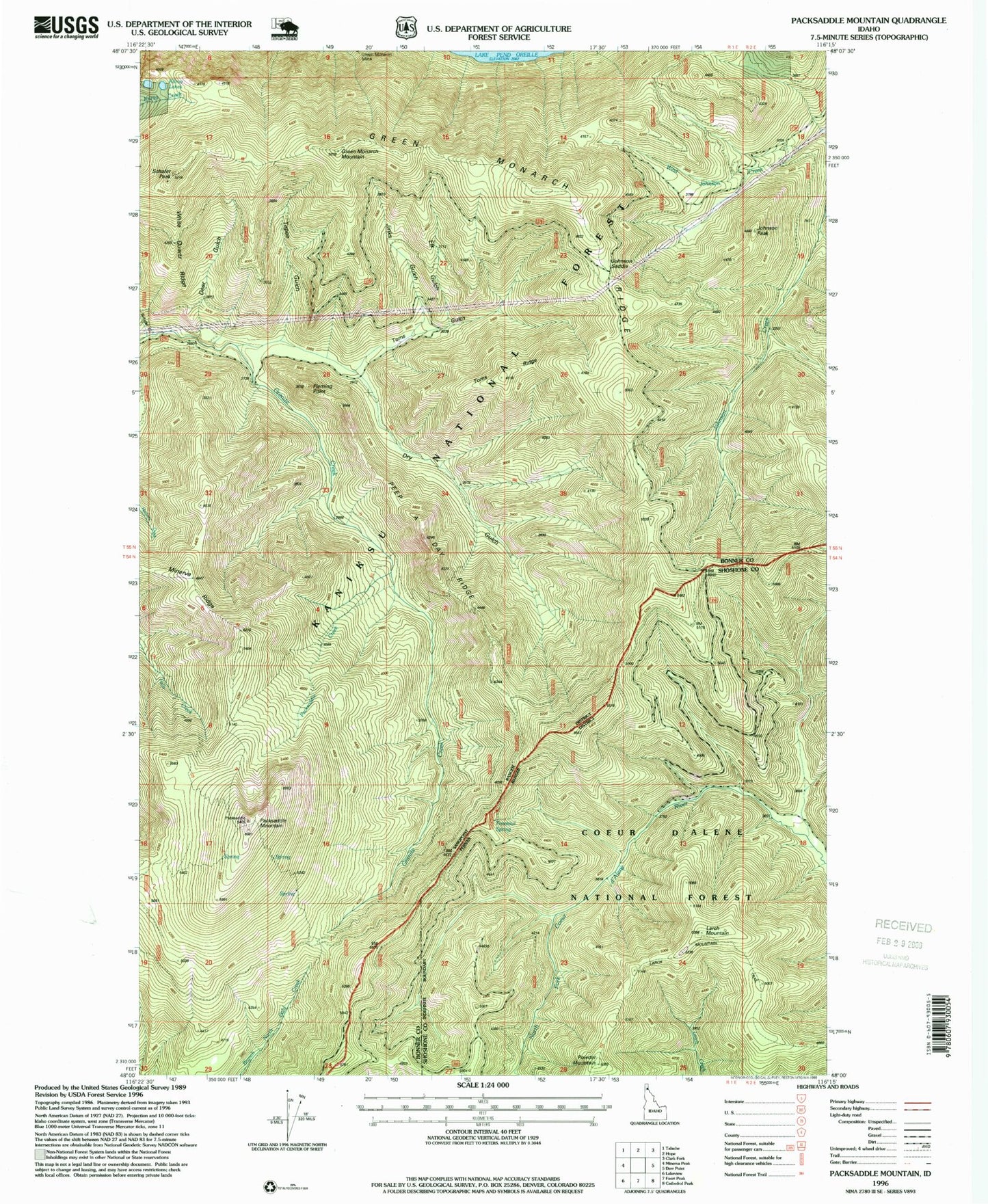
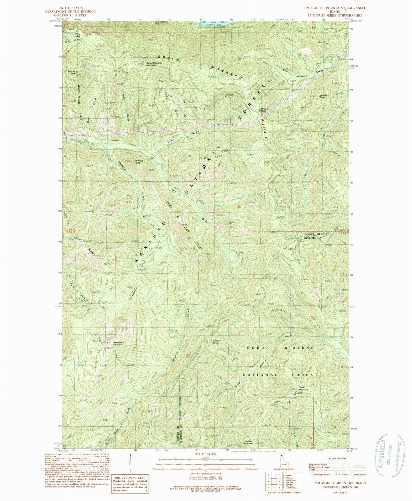
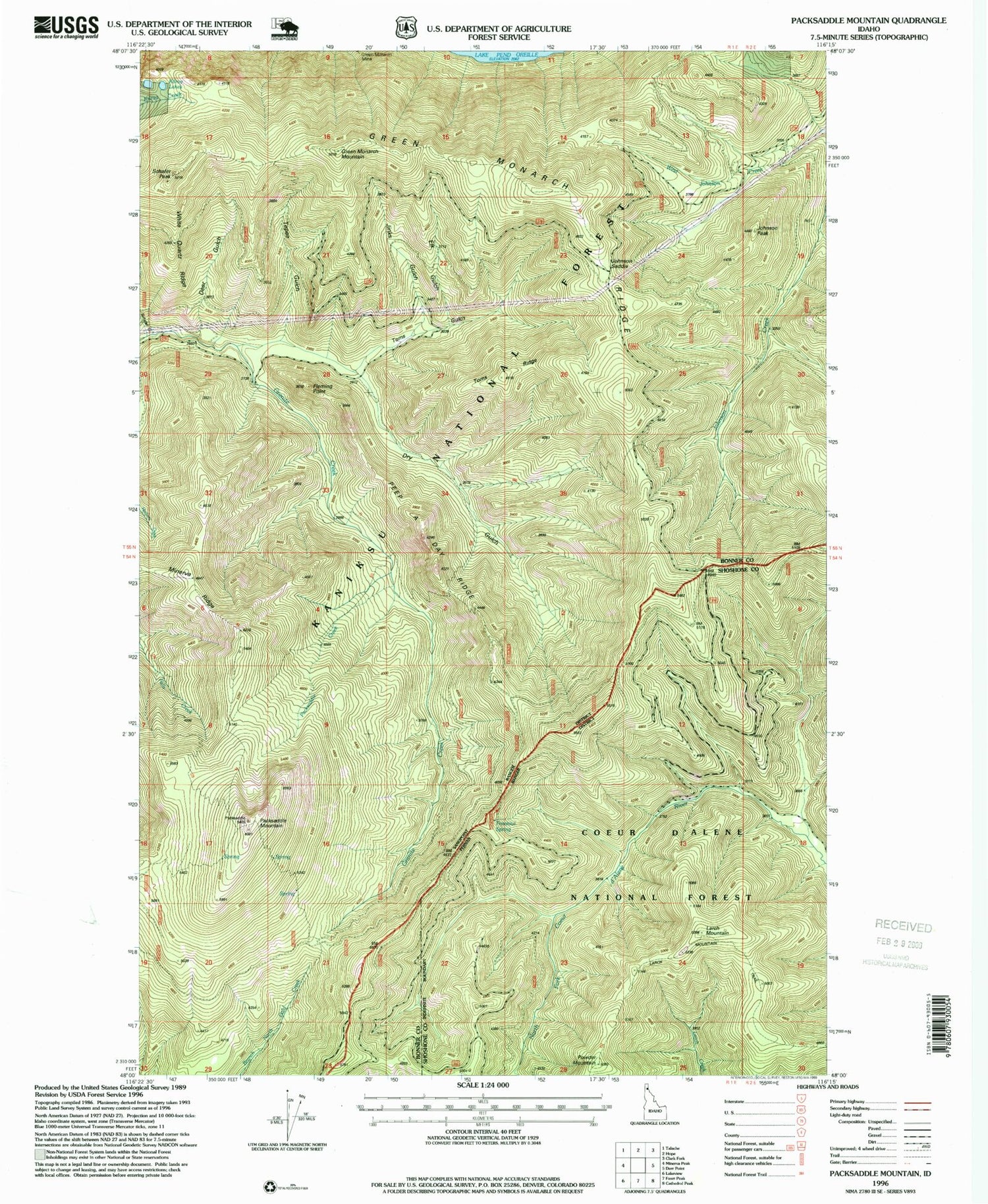
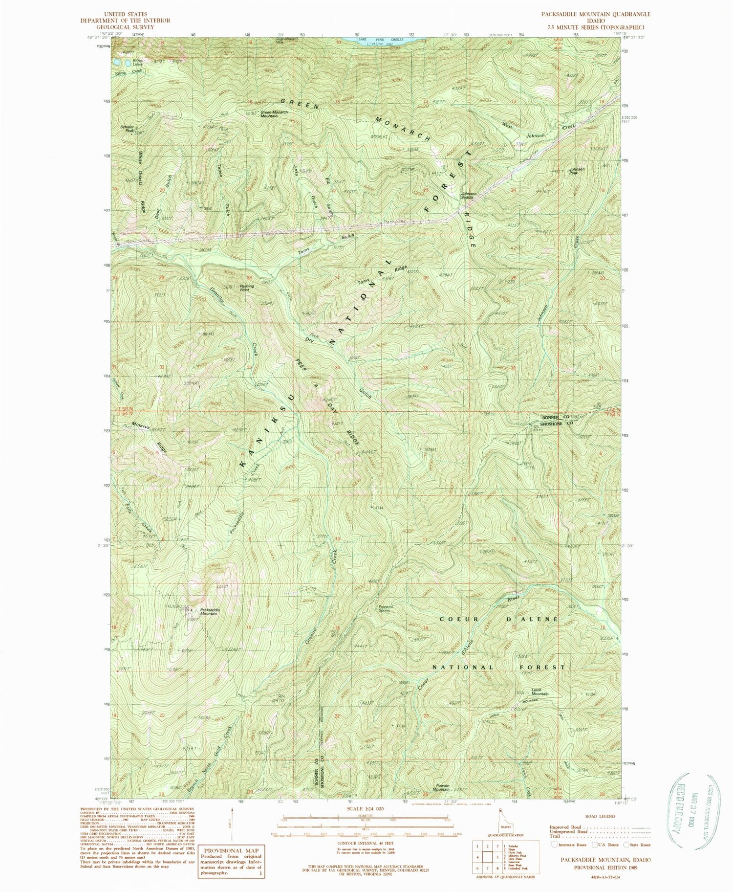
Classic USGS Packsaddle Mountain Idaho 7.5'x7.5' Topo Map
Couldn't load pickup availability
Historical USGS topographic quad map of Packsaddle Mountain in the state of Idaho. Typical map scale is 1:24,000, but may vary for certain years, if available. Print size: 24" x 27"
This quadrangle is in the following counties: Bonner, Shoshone.
The map contains contour lines, roads, rivers, towns, and lakes. Printed on high-quality waterproof paper with UV fade-resistant inks, and shipped rolled.
Contains the following named places: Deer Gulch, Dry Gulch, Dry Gulch Cabin (historical), Fleming Point, Freezeout Spring, Green Monarch Mountain, Green Monarch Ridge, Johnson Peak, Kilroy Lakes, Larch Mountain, Minerva Ridge, Peep a Day Ridge, Schafer Gulch, Schafer Peak, Tepee Gulch, Toms Gulch, Toms Ridge, White Quartz Ridge, Johnson Point Vista, Johnson Saddle, Green Monarch Mine, Larch Mountain Trail, Elk Gulch, Packsaddle Mountain, Jinks Gulch, Packsaddle Creek, Powder Mountain


