MyTopo
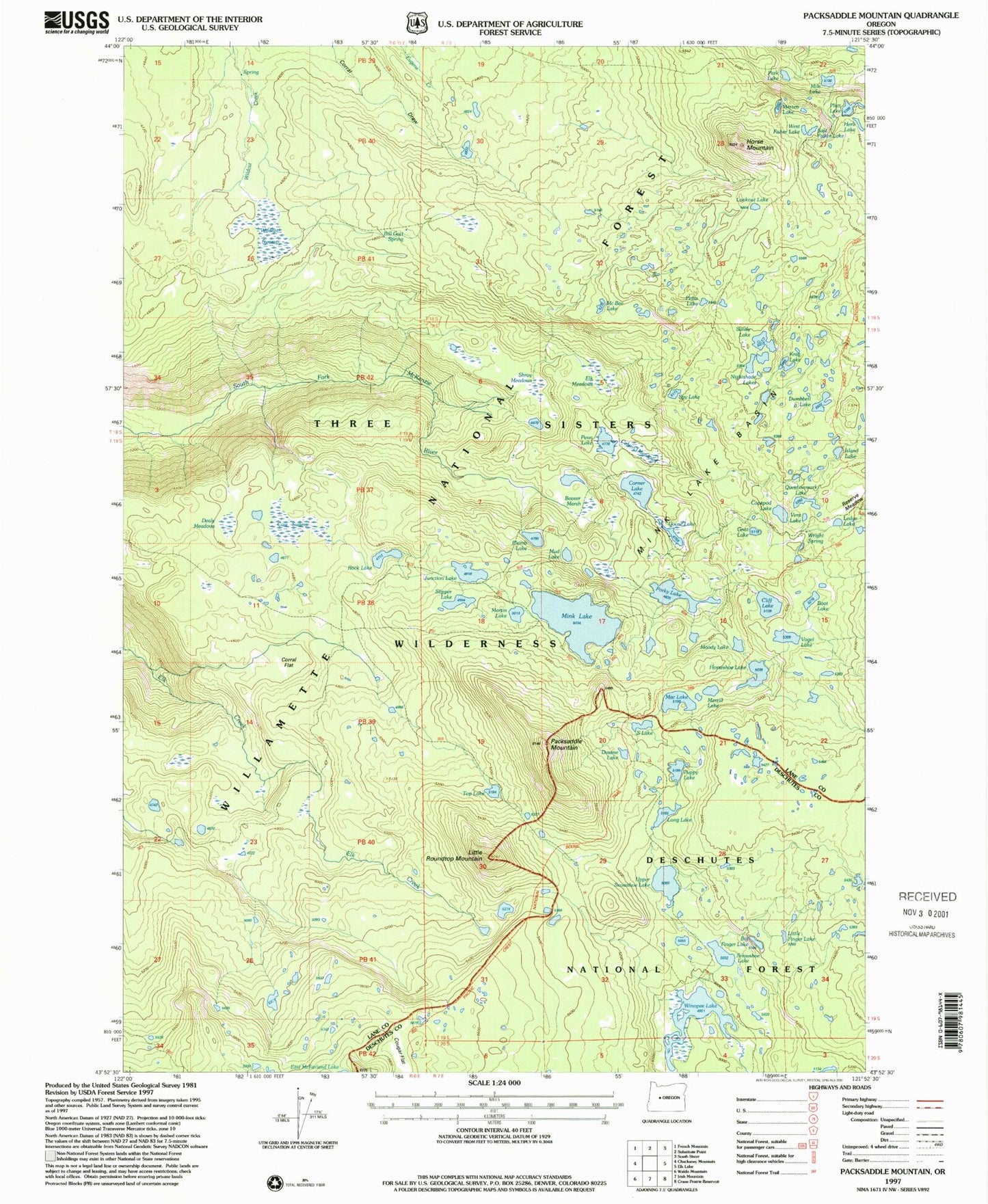
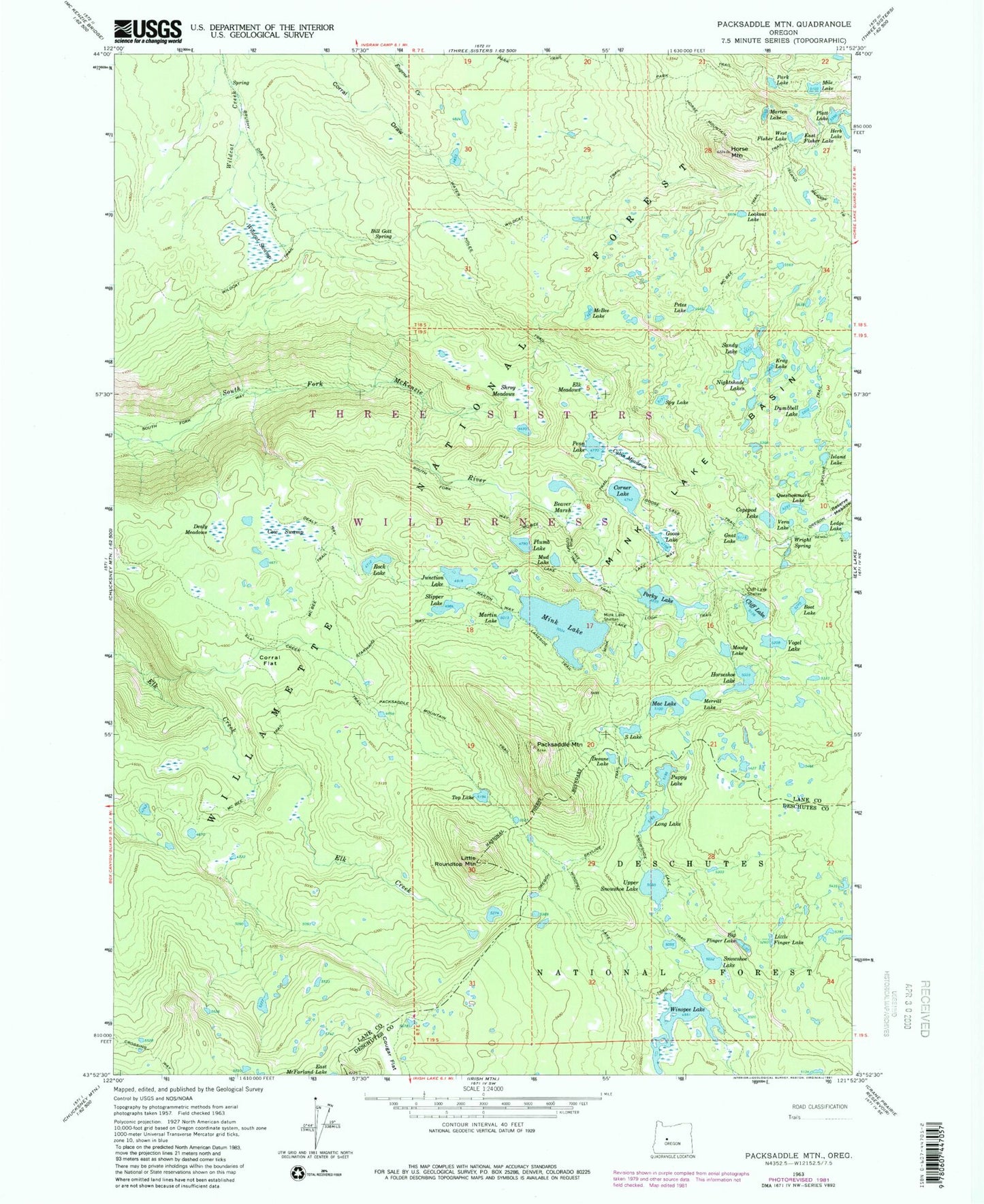
Classic USGS Packsaddle Mountain Oregon 7.5'x7.5' Topo Map
Couldn't load pickup availability
Historical USGS topographic quad map of Packsaddle Mountain in the state of Oregon. Typical map scale is 1:24,000, but may vary for certain years, if available. Print size: 24" x 27"
This quadrangle is in the following counties: Deschutes, Lane.
The map contains contour lines, roads, rivers, towns, and lakes. Printed on high-quality waterproof paper with UV fade-resistant inks, and shipped rolled.
Contains the following named places: Packsaddle Mountain, Packsaddle Mountain Trail, Beaver Marsh, Big Finger Lake, Bill Gott Spring, Boot Lake, Brushy Draw Way, Cabin Meadows, Cliff Lake, Cliff Lake Shelter, Copepod Lake, Corner Lake, Corral Flat, Cougar Flat, Cow Swamp, Dealy Meadows, Dealy Way, Desane Lake, Dumbbell Lake, East Fisher Lake, Elk Creek Trail, Elk Meadows, Gnat Lake, Goose Lake, Goose Lake Trail, Herb Lake, Horse Mountain, Horse Mountain Trail, Horseshoe Lake, Island Lake, Junction Lake, Krag Lake, Lake Way, Lakeside Trail, Ledge Lake, Little Finger Lake, Little Roundtop Mountain, Long Lake, Lookout Lake, Mac Lake, Marten Lake, Martin Lake, Martin Way, McBee Lake, McBee Trail, Merrill Lake, Mile Lake, Mink Lake, Mink Lake Basin, Mink Lake Loop Trail, Mink Lake Shelter, Moody Lake, Mud Lake, Mud Lake Cutoff Trail, Mud Lake Trail, Nightshade Lakes, Park Lake, Park Trail, Penn Lake, Petes Lake, Platt Lake, Plumb Lake, Porky Lake, Puppy Lake, Questionmark Lake, Reserve Meadow, Rock Lake, S Lake, Sandy Lake, Shroy Meadows, Slipper Lake, Snowshoe Lake, Snowshoe Lake Trail, South Fork Way, Spy Lake, Starwano Way, Top Lake, Upper Snowshoe Lake, Vera Lake, Vogel Lake, West Fisher Lake, Wildcat Swamp, Wildcat Trail, Winopee Lake, Wright Spring, Lindh Lake


