MyTopo
Classic USGS Paddock Lake Wisconsin 7.5'x7.5' Topo Map
Couldn't load pickup availability
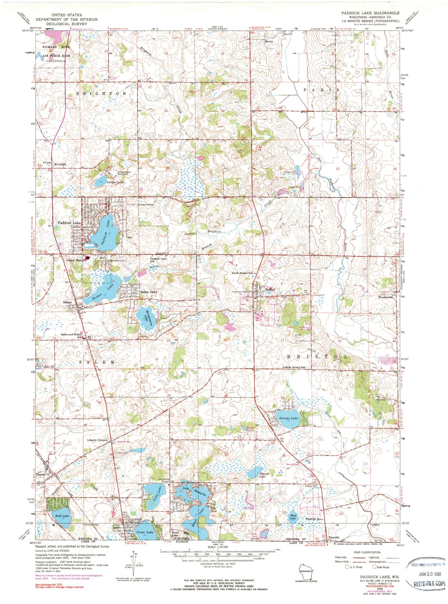
Historical USGS topographic quad map of Paddock Lake in the state of Wisconsin. Typical map scale is 1:24,000, but may vary for certain years, if available. Print size: 24" x 27"
This quadrangle is in the following counties: Kenosha.
The map contains contour lines, roads, rivers, towns, and lakes. Printed on high-quality waterproof paper with UV fade-resistant inks, and shipped rolled.
Contains the following named places: Benet Lake, Barber Pond, Brighton Creek, Bristol, Central High School, Dutch Gap Canal, George Lake, Holy Family Convent, Hooker Lake, Hosmer Cemetery, Klondike, League Lake, Liberty Cemetery, Liberty Corners, Montgomery Lake, Mud Lake, Bristol School, Old Settlers Park, Paasch Lake, Paddock Lake, Paddock Lake, Paddock Lake School, Pikeville School, Salem, Salem School, Salem Branch, Salem Oaks, Lake Shangrila, South Bristol School, Trevor, Union Cemetery, Union League Boys Camp, Voltz Lake, Woodworth, Winfield Airport, Dutch Gap Airstrip, Binzel Airport, Town of Bristol (historical), Village of Paddock Lake, Lake Shangri La Dam, Lake Shangri La and Benet Lake 1, Rock Lake Dam, Rock Lake, Lake Shangrila, Bristol - Paris Cemetery, Bristol Wastewater Treatment Plant, Lake Shangrila Census Designated Place (historical), Bristol Airport, Carefree Estates, Pheasant Run Landfill, Village of Bristol, Salem Fire and Rescue Station 2, Bristol Fire Department, Salem Fire and Rescue Station 1, Edquist Farms, Elfering Dairy Farm, Woodworth Post Office, Bristol Post Office, Salem Post Office, Trevor Post Office, Christ Lutheran Church, Salem United Methodist Church, Westosha Academy, Paulin Pond, Salem Lakes


