MyTopo
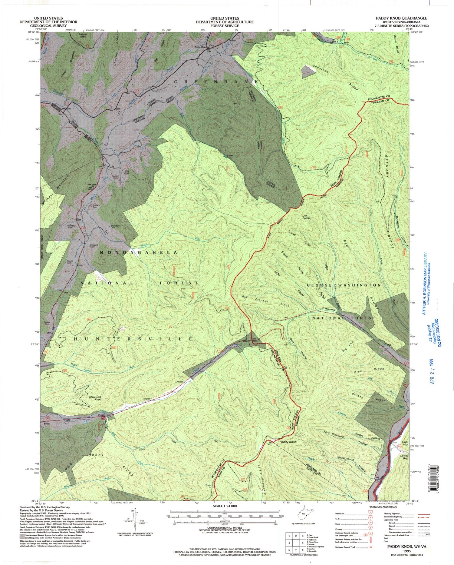
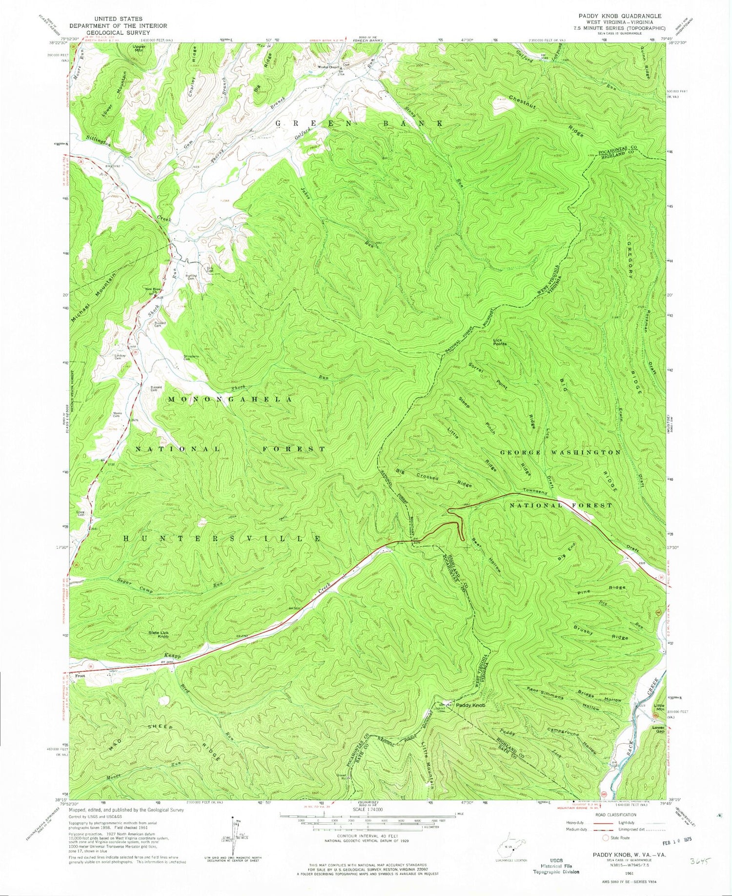
Classic USGS Paddy Knob West Virginia 7.5'x7.5' Topo Map
Couldn't load pickup availability
Historical USGS topographic quad map of Paddy Knob in the states of West Virginia, Virginia. Typical map scale is 1:24,000, but may vary for certain years, if available. Print size: 24" x 27"
This quadrangle is in the following counties: Bath, Highland, Pocahontas.
The map contains contour lines, roads, rivers, towns, and lakes. Printed on high-quality waterproof paper with UV fade-resistant inks, and shipped rolled.
Contains the following named places: Paddy Knob, Bird Run, Bussard Cemetery, Buzzard Cemetery, Buzzard Cemetery, Charley Ridge, Chestnut Ridge, Chestnut Ridge, Dilley Cemetery, Galford Run, Gragg Cemetery, Gum Branch, Jakes Run, Left Prong Galford Run, Lindsay Cemetery, Lower Mountain, Mad Sheep Ridge, Moore Cemetery, Moses Spur, New Hope Church, Shinaberry Cemetery, Shock Run, Slate Lick Knob, Stony Run, Thorny Branch, Wesley Chapel, Paddy Knob Trail, Bird Run Campground, Chocklett Spring, Dunmore Spring, Garfield Grimes Spring, Meadow Spring, Camp Copperhead (historical), Gum Spring School (historical), Hillside School (historical), Mount Pleasant School (historical), Paddy Knob Lookout Tower, Wesley Chapel School (historical), Bear Hollow, Big Crooked Ridge, Big End, Big Ridge, Bridge Hollow, Brushy Ridge, Campground Hollow, Gregory Ridge, Kent Simmons Hollow, Lick Draft, Lick Points, Little Ridge, Lower Gap, Pine Ridge, Sorrel Point Ridge, Steep Pinch Ridge


