MyTopo
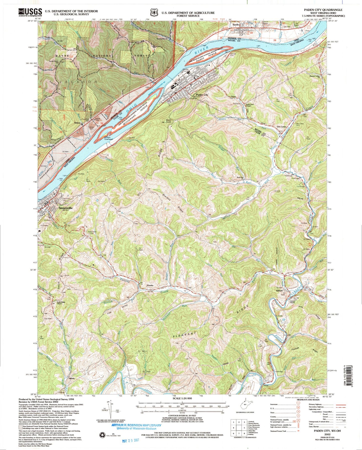
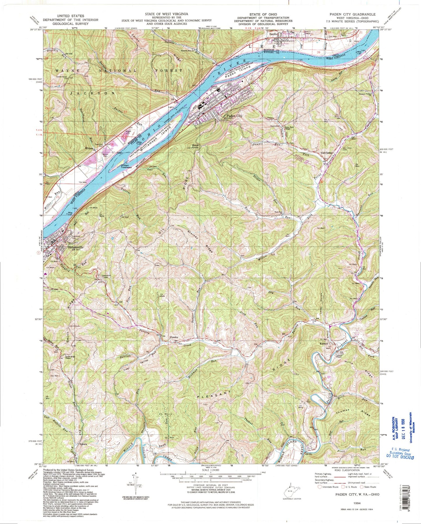
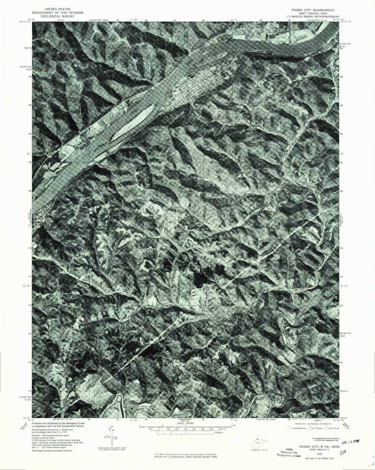
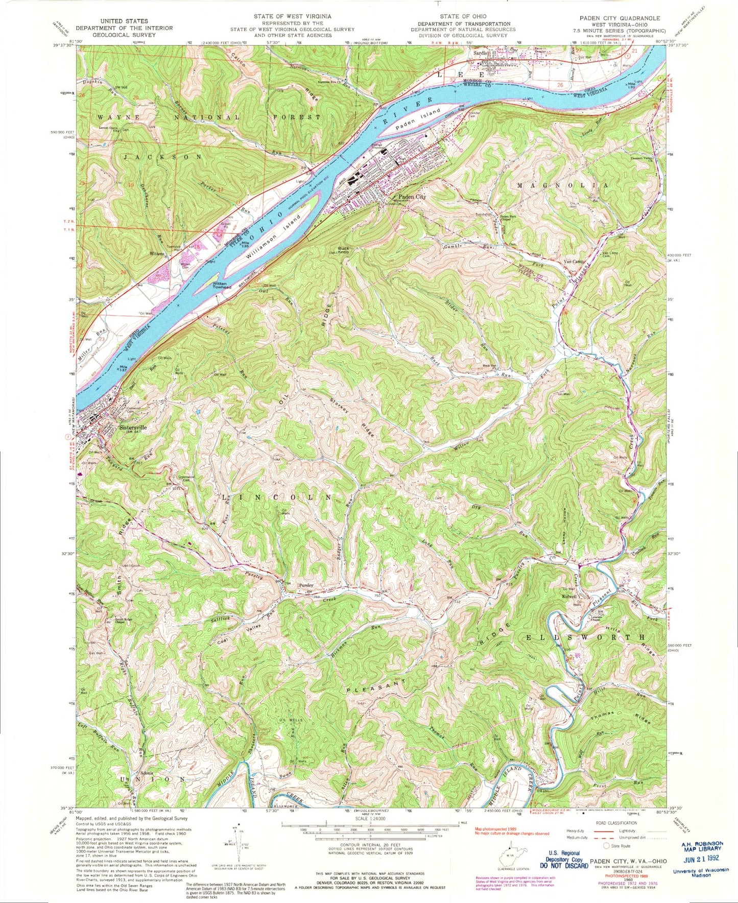
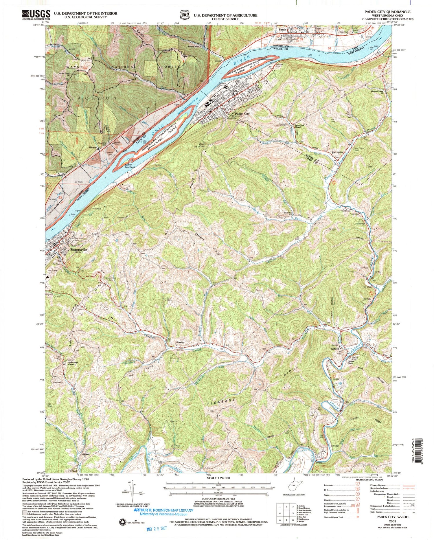
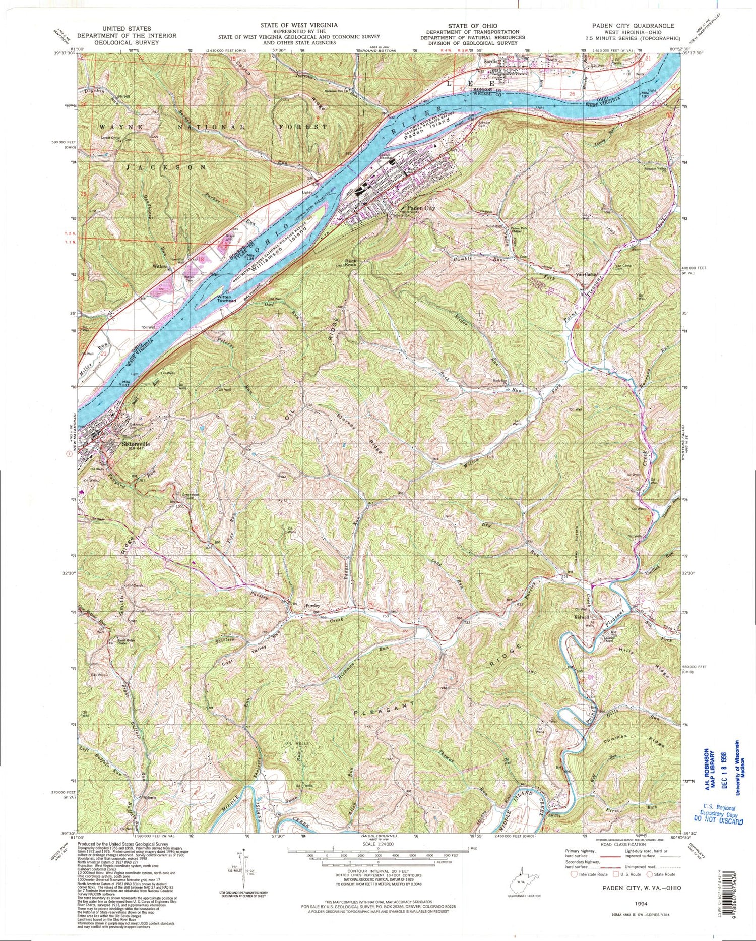
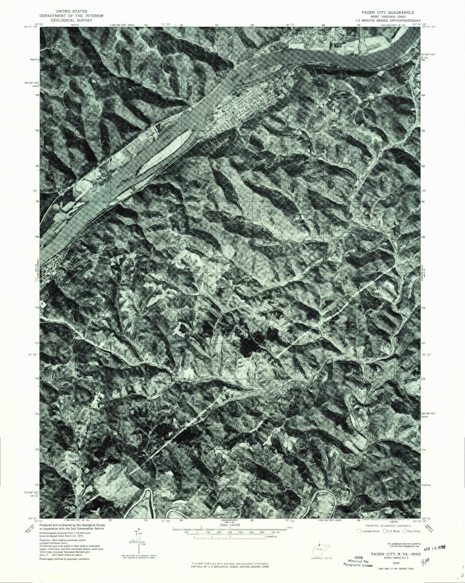
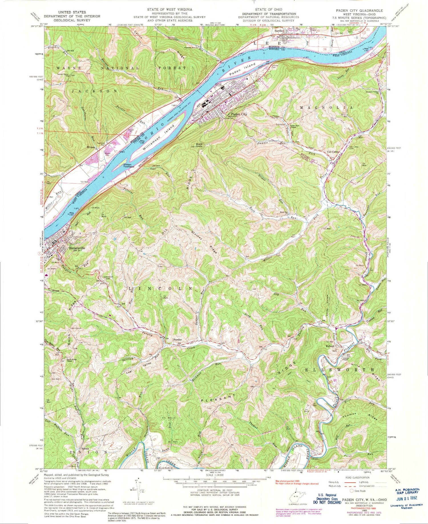
Classic USGS Paden City West Virginia 7.5'x7.5' Topo Map
Couldn't load pickup availability
Historical USGS topographic quad map of Paden City in the states of West Virginia, Ohio. Map scale may vary for some years, but is generally around 1:24,000. Print size is approximately 24" x 27"
This quadrangle is in the following counties: Monroe, Tyler, Wetzel.
The map contains contour lines, roads, rivers, towns, and lakes. Printed on high-quality waterproof paper with UV fade-resistant inks, and shipped rolled.
Contains the following named places: Adonis, Allen Run, Badger Run, Badger Run School, Barnes Run, Boyles Chapel, Buck Knob, Buck Run, Buck Run Church, Christ Methodist Episcopal Church, Church of Christ, Church of the Nazarene, City of Paden City, City of Sistersville, Claylick Run, Coal Valley, Coallick Run, Coallick Run School, Deadhorse Run, Dry Run, Dry Run School, Elk Fork, First Methodist Episcopal Church, First Presbyterian Church, First Run, Gamble Run, Gamble Run School, Greenlee School, Greenwood Cemetery, Havely Run, Hickman Run, Hills Run, Holy Rosary Catholic Church, Houghts Landing, Jackson Township Hall, Keller School, Kidwell, Laney Hollow, Leasure Chapel, Left Buffalo Run, Lively Run, Locust Grove Cemetery, Locust Grove Church, Locust Grove School, Lodi, Long Run, Low Gap School, Lower Pursley School, Luzon, Mendota, Monroe County Emergency Medical Services Squad 5 Sardis, Narrows Run, Narrows Run Church, Narrows Run School, Nipgut Run, North District, Oakwood Cemetery, Oil Ridge, Owl Run, Paden City, Paden City Church of the Nazarene, Paden City City Hall, Paden City Elementary School, Paden City High School, Paden City Middle School, Paden City Police Department, Paden City Post Office, Paden City Public Library, Paden City Volunteer Fire Department, Paden Fork, Paden Fork Chapel, Paden Island, Parker Run, Patton Run, Peach Fork, Pine Run, Pleasant Ridge, Pleasant Ridge Church, Pleasant Valley Church, Pleasant Valley School, Point Pleasant Creek, Polecat Run, Pool Run, Pursley, Pursley Creek, Right Buffalo Run, Saint Pauls Methodist Church, Saltlick Run, Sardis, Sardis Elementary School, Sardis Post Office, Sardis Volunteer Fire Department, Shrivers Run, Sistersville, Sistersville City Hall, Sistersville Elementary School, Sistersville Historic District, Sistersville Police Department, Sistersville Post Office, Sistersville Public Library, Sistersville Waterworks, Slider Run, Smith Chapel, Smith Ridge, Smith Ridge Chapel, Starkey Ridge, Steel Run, Stender Cemetery, Stewart Landing, Sugar Grove School, Sugar Valley School, Swan Run, Tenmile Run, Thomas Run, Tyler Consolidated High School, Tyler Consolidated Middle School, Van Camp, Van Camp Cemetery, Van Camp Methodist Church, Van Camp School, Wesleyan Methodist Church, West District, Wharrys Run, Williamson Island, Willow Fork, Willow Fork Church, Willow Fork School, Witten Cemetery, Witten Towhead, Wittens, Wittens Post Office, Wolf Run, ZIP Codes: 26159, 26175
