MyTopo
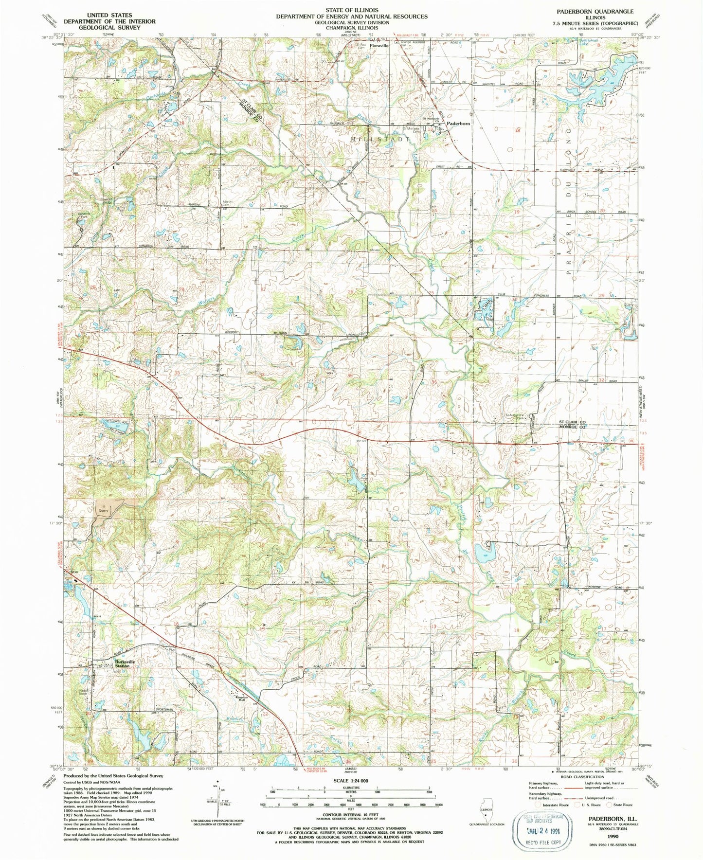
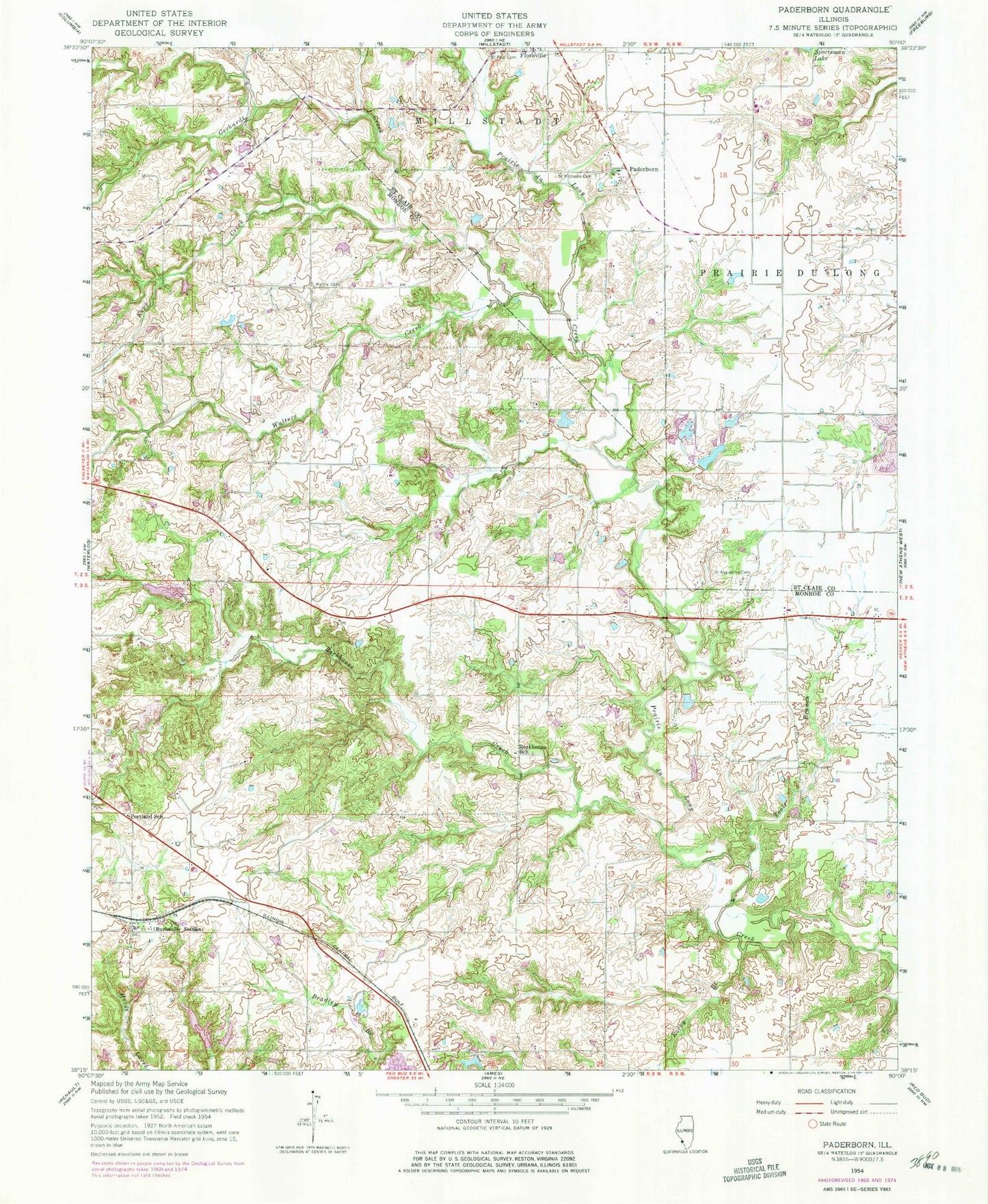
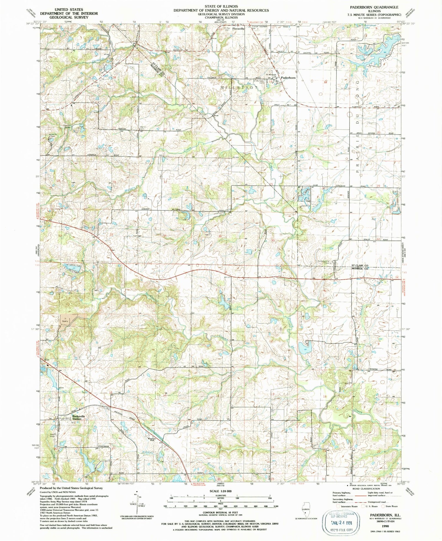
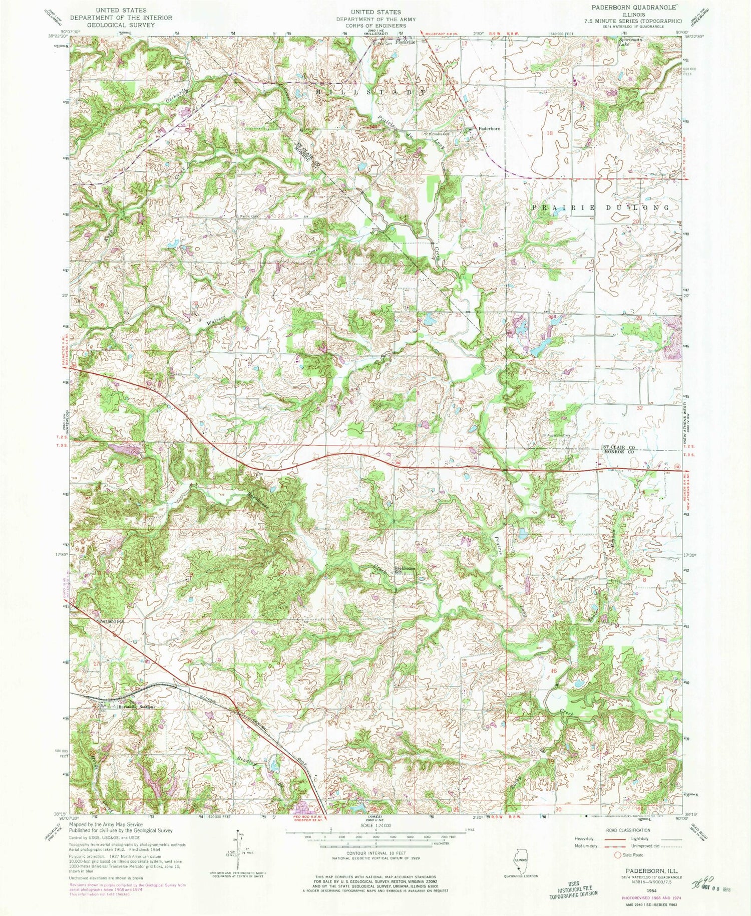
Classic USGS Paderborn Illinois 7.5'x7.5' Topo Map
Couldn't load pickup availability
Historical USGS topographic quad map of Paderborn in the state of Illinois. Map scale may vary for some years, but is generally around 1:24,000. Print size is approximately 24" x 27"
This quadrangle is in the following counties: Monroe, St. Clair.
The map contains contour lines, roads, rivers, towns, and lakes. Printed on high-quality waterproof paper with UV fade-resistant inks, and shipped rolled.
Contains the following named places: Blackburn School, Burksville Station, Election Precinct 7, Election Precinct 8, Gerhardt Creek, Goeddeltown School, Illinois No Name Number 2027 Dam, Justamir Association Lake, Justamir Association Lake Dam, Kingdom Hall, Kopp Creek, Lake Ronnie, Lake Ronnie Dam, Martini Cemetery, Martini School, Paderborn, Paderborn Census Designated Place, Portland School, Precinct 28 Election Precinct, Precinct 29 Election Precinct, Rockhouse Creek, Rockhouse School, Rocky Branch, Saint Augustine Cemetery, Saint Michael Church, Saint Michaels Cemetery, Saint Paul Cemetery, Toole Branch, Walters Creek, Waterloo Sportsman Club Lake, Waterloo Sportsman Club Lake Dam Number 1, Waterloo Sportsman Club Lake Dam Number 2


