MyTopo
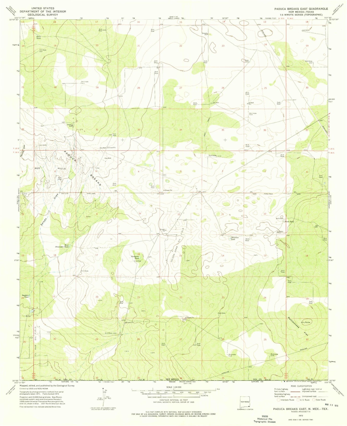
Classic USGS Paduca Breaks East New Mexico 7.5'x7.5' Topo Map
Couldn't load pickup availability
Historical USGS topographic quad map of Paduca Breaks East in the state of New Mexico. Map scale may vary for some years, but is generally around 1:24,000. Print size is approximately 24" x 27"
This quadrangle is in the following counties: Lea, Loving.
The map contains contour lines, roads, rivers, towns, and lakes. Printed on high-quality waterproof paper with UV fade-resistant inks, and shipped rolled.
Contains the following named places: 12950 Water Well, 12951 Water Well, 12952 Water Well, 12953 Water Well, 12954 Water Well, 12955 Water Well, 12956 Water Well, 12957 Water Well, 12986 Water Well, 12987 Water Well, 13632 Water Well, 13633 Water Well, 13650 Water Well, Christian Tank, Jason Tank, Needmore Tank, Penn Tank, Rattlesnake Flat, Red Hills, Salado Draw, Salado Draw Oil Field, Sanders Tank, West Dinwiddie Tank


