MyTopo
Classic USGS Page Arizona 7.5'x7.5' Topo Map
Couldn't load pickup availability
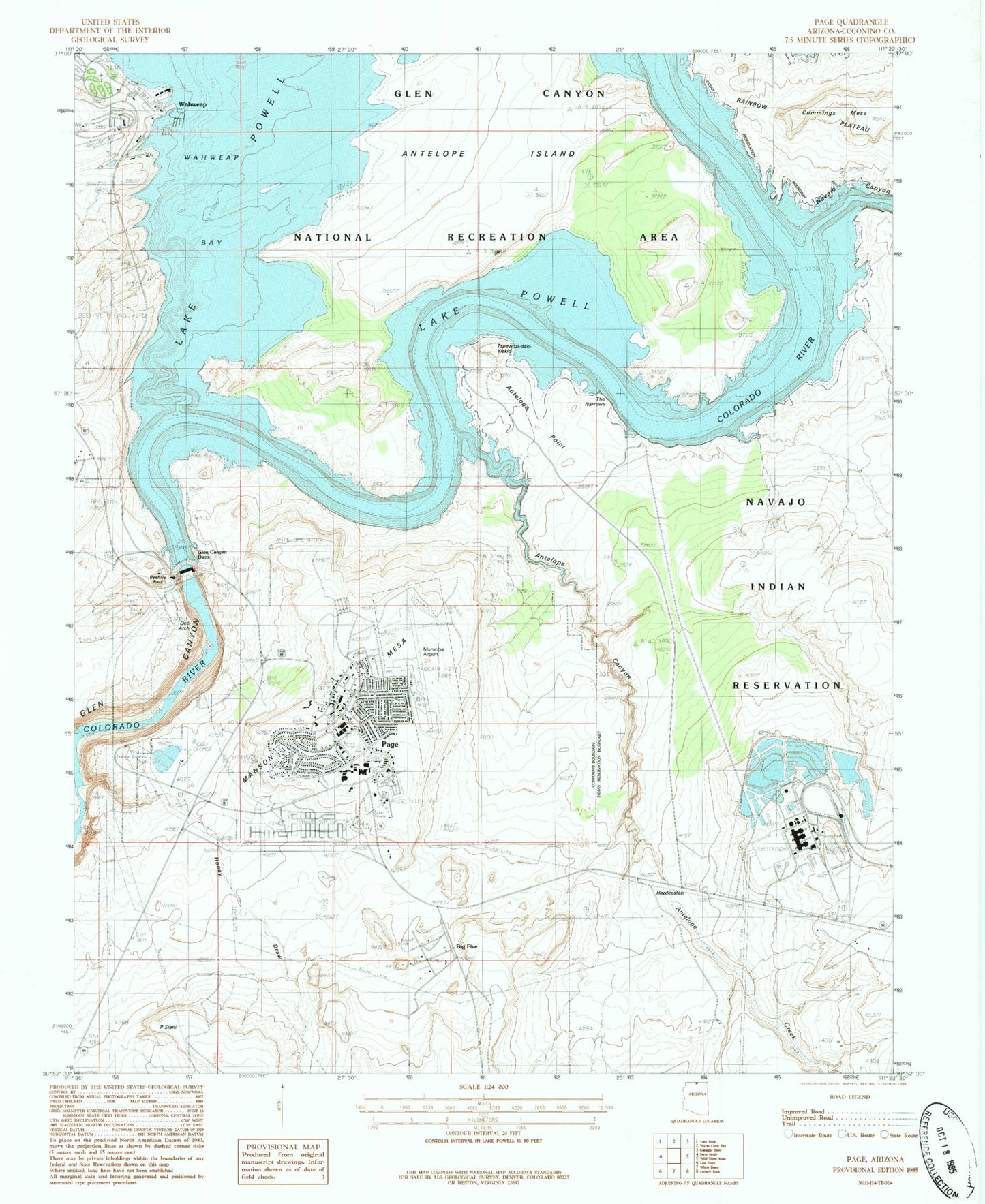
Historical USGS topographic quad map of Page in the state of Arizona. Map scale may vary for some years, but is generally around 1:24,000. Print size is approximately 24" x 27"
This quadrangle is in the following counties: Coconino.
The map contains contour lines, roads, rivers, towns, and lakes. Printed on high-quality waterproof paper with UV fade-resistant inks, and shipped rolled.
Contains the following named places: Antelope Canyon, Antelope Creek, Antelope Island, Arizona State Inspection Station, Beehive Rock, Chapman's Mobile Home Resort, Coconino Community College, Coconino County Sheriff's Office Page, Cummings Mesa, Desert View Intermediate School, Emergency Medical Heliport, Faith Bible Chapel, First Assembly of God, First Baptist Church, Glen Canyon Dam, Glen Canyon Dam Visitor Center, Glen Canyon Generating Station, Glen Canyon Substation, Immaculate Heart of Mary Catholic Church, Jack Doland Field, John C Page Park, Kingdom Hall of Jehovahs Witnesses, KPGE-AM (Page), KXAZ-FM (Page), Lake Powell Academy, Lake Powell Church of the Nazarene, Lake Powell Medical Center, Lake Powell National Golf Course, Lake View Primary School, Manson Mesa, Navajo Canyon, Navajo Creek, Page, Page City Cemetery, Page Community United Methodist Church, Page Elementary School, Page Fire Department, Page Fire Department - Airport, Page High School, Page Hospital, Page Lake Powell Mobile Home Village, Page Middle School, Page Municipal Airport, Page Police Department, Page Post Office, Page Public Library, Page Substation, Rim View Trailer Village, Saint David's Episcopal Church, Sentinel Rock, The Church of Jesus Christ of Latter Day Saints, Wahweap, Wahweap Airport, Wahweap Lodge and Marina


