MyTopo
Classic USGS Pageland South Carolina 7.5'x7.5' Topo Map
Couldn't load pickup availability
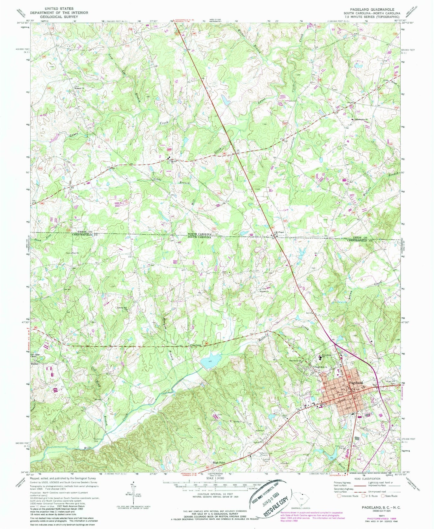
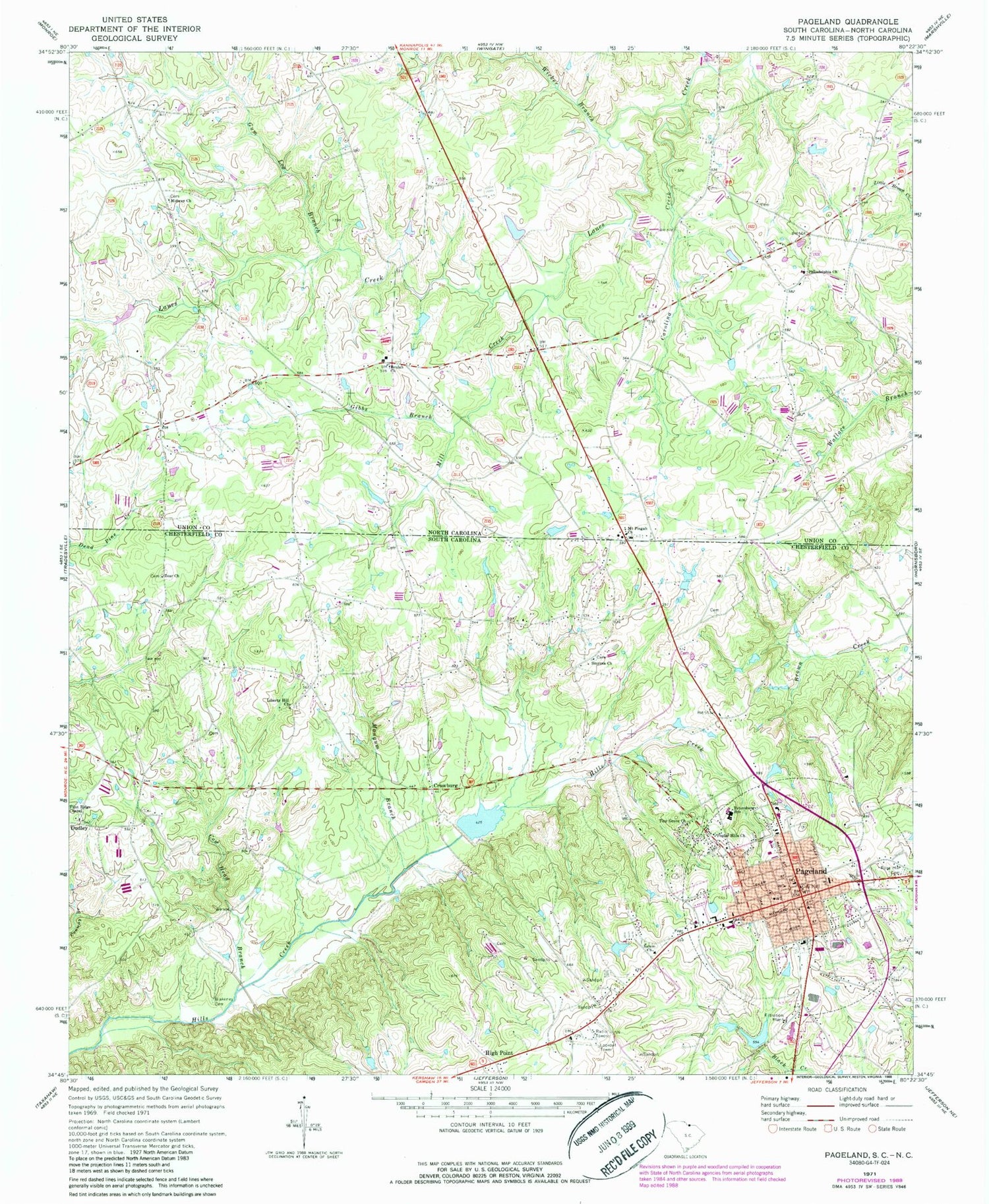
Historical USGS topographic quad map of Pageland in the states of South Carolina, North Carolina. Map scale may vary for some years, but is generally around 1:24,000. Print size is approximately 24" x 27"
This quadrangle is in the following counties: Chesterfield, Union.
The map contains contour lines, roads, rivers, towns, and lakes. Printed on high-quality waterproof paper with UV fade-resistant inks, and shipped rolled.
Contains the following named places: Beaulah Church Cemetery, Beaver Family Cemetery, Beulah Church, Blakeney Cemetery, Carolina Creek, Collins Lake, Collins Lake Dam, Cow Head Branch, Crowburg, Dudley, Dudley Church, Flint Ridge Baptist Church, Flint Ridge Cemetery, Flint Ridge School, George Plyler Pond Dam D-1802, Gibbs Branch, Greenlawn Cemetery, Gum Log Branch, High Point, High Point Baptist Church, High Point Church Cemetery, High Point Fire Department Main, High Point Fire Department Westside, Hill Creek Watershed One Reservoir, James Gathings Cemetery, Lanes Creek Volunteer Fire Department Station 11, Liberty Hill Baptist Church, Liberty Hill Baptist Church Cemetery, Mangum Branch, Mangum School, Midway Church, Midway Church Cemetery, Mill Creek, Mount Pisgah Church Cemetery, Pageland, Pageland Cemetery, Pageland Division, Pageland Fire Department, Pageland Middle School, Pageland Police Department, Pageland Post Office, Pageland Rescue Squad, Petersburg School, Philadelphia Church, Philadelphia Church Cemetery, Poplar Hill Church, Poplar Hills Church, Price Cemetery, Rose Hill Cemetery, Salem Church, Salem United Methodist Cemetery, Smyrna Baptist Church Cemetery, Smyrna Church, South Carolina Noname 13052 D-3168 Dam, Tiny Grove Church, Town of Pageland, Town Pond Dam D-3170, Township of Lanes Creek, Tuckers Pond Dam D-3169, Wicker Branch, WPSC-AM (Pageland), Zoar Church, Zoar United Methodist Church Cemetery, ZIP Code: 29728


