MyTopo
Classic USGS Pahroc Spring SE Nevada 7.5'x7.5' Topo Map
Regular price
$16.95
Regular price
Sale price
$16.95
Unit price
per
Couldn't load pickup availability
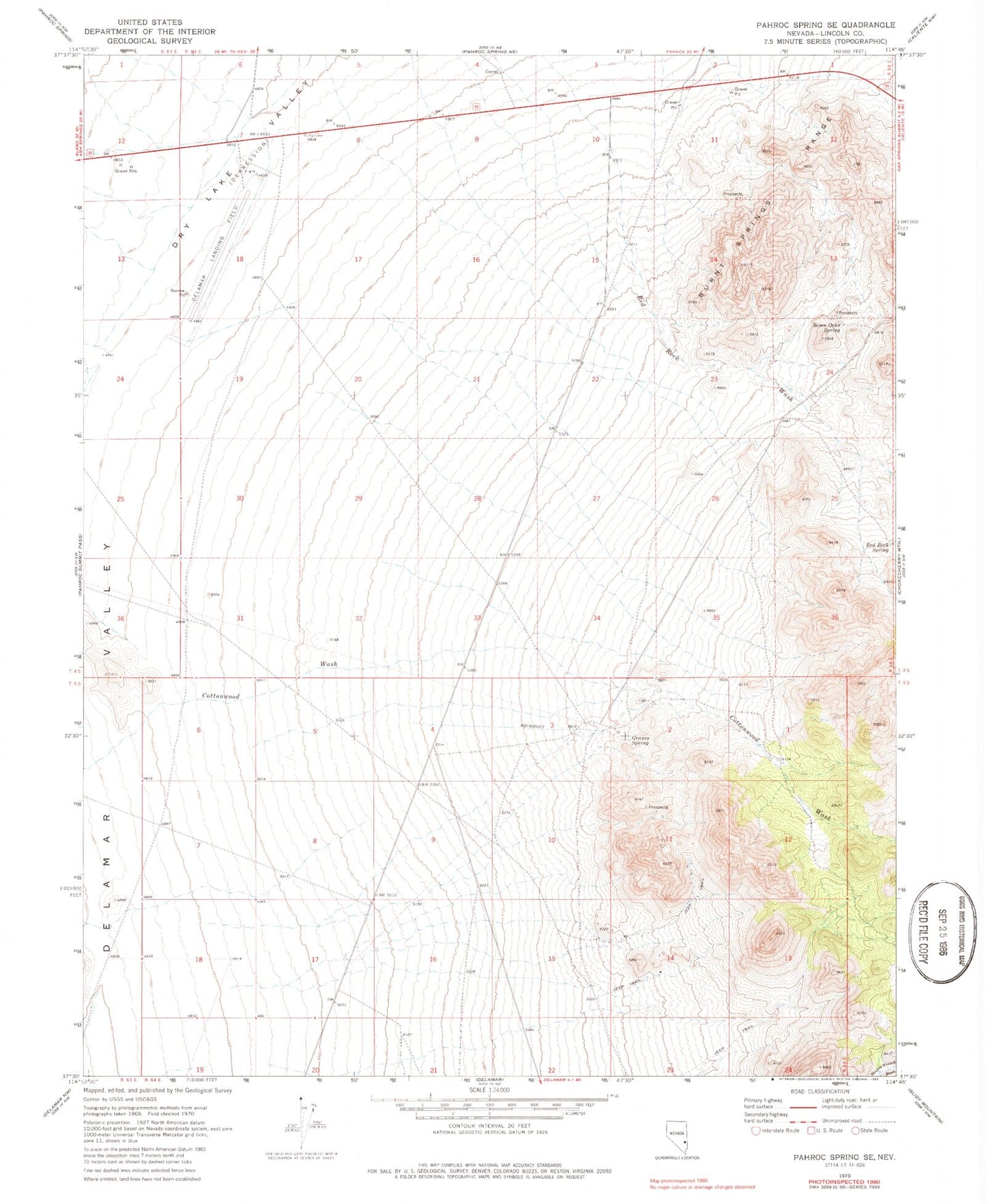
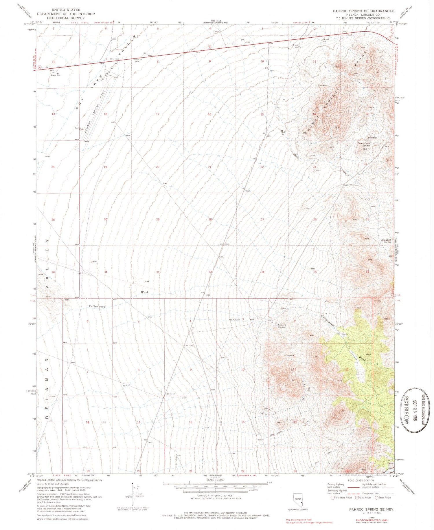
Historical USGS topographic quad map of Pahroc Spring SE in the state of Nevada. Map scale may vary for some years, but is generally around 1:24,000. Print size is approximately 24" x 27"
This quadrangle is in the following counties: Lincoln.
The map contains contour lines, roads, rivers, towns, and lakes. Printed on high-quality waterproof paper with UV fade-resistant inks, and shipped rolled.
Contains the following named places: Caliente Flight Strip Airport, Cottonwood Springs, Dry Lake Valley, Grassy Spring, Hughie Spring, Peggy Lee Mine, Red Rock Spring, Sawyer Spring, Seven Oaks Spring