MyTopo
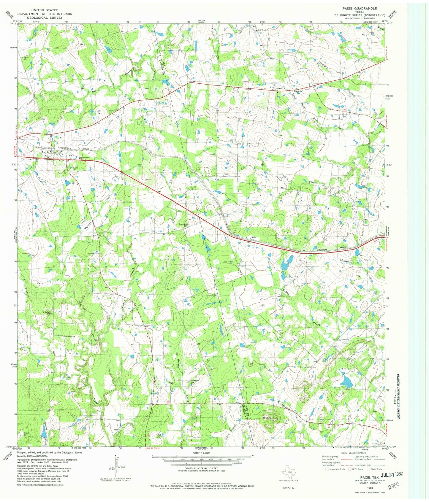
Classic USGS Paige Texas 7.5'x7.5' Topo Map
Couldn't load pickup availability
Historical USGS topographic quad map of Paige in the state of Texas. Map scale may vary for some years, but is generally around 1:24,000. Print size is approximately 24" x 27"
This quadrangle is in the following counties: Bastrop, Lee.
The map contains contour lines, roads, rivers, towns, and lakes. Printed on high-quality waterproof paper with UV fade-resistant inks, and shipped rolled.
Contains the following named places: Cedar Creek, Dead Mans Hole Creek, Domaschk-Biar Lake, Domaschk-Biar Lake Dam, Flower Mound Public Library, Flying G H Ranch Airport, Grassyville, Hamff Lake Number 1, Hamff Lake Number 1 Dam, Hamff Lake Number 2, Hamff Lake Number 2 Dam, Hamff Lake Number 3, Hamff Lake Number 3 Dam, Hills, Long Branch, Manheim, Paige, Paige Census Designated Place, Paige Post Office, Paige Volunteer Fire Department, Turner Creek