MyTopo
Classic USGS Paint Rock North Carolina 7.5'x7.5' Topo Map
Couldn't load pickup availability
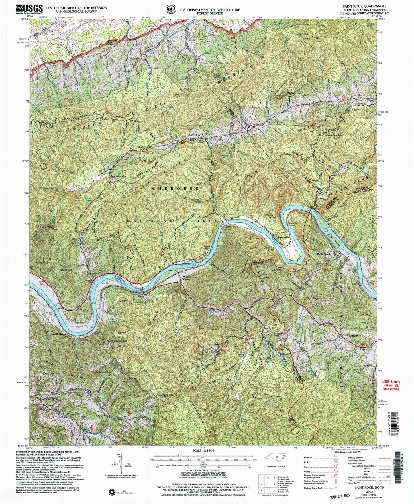
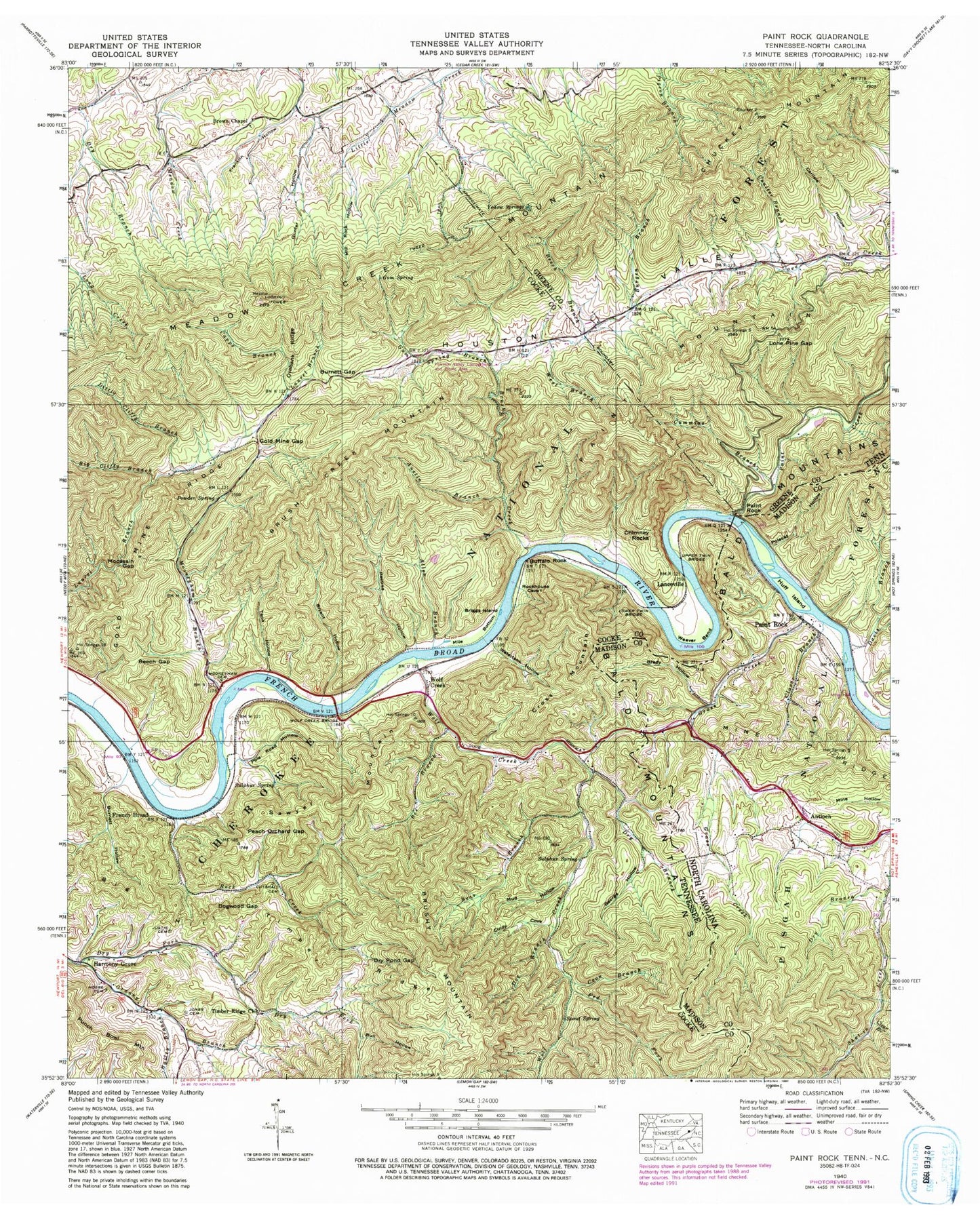
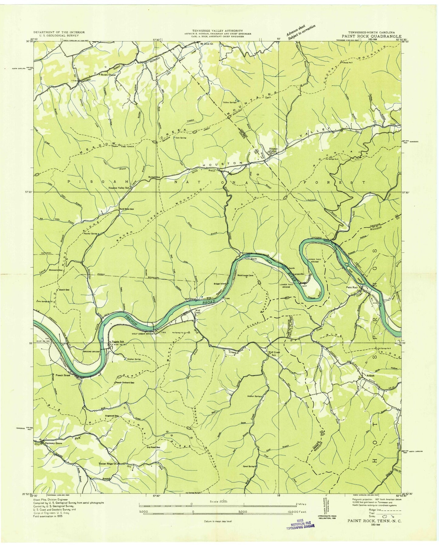
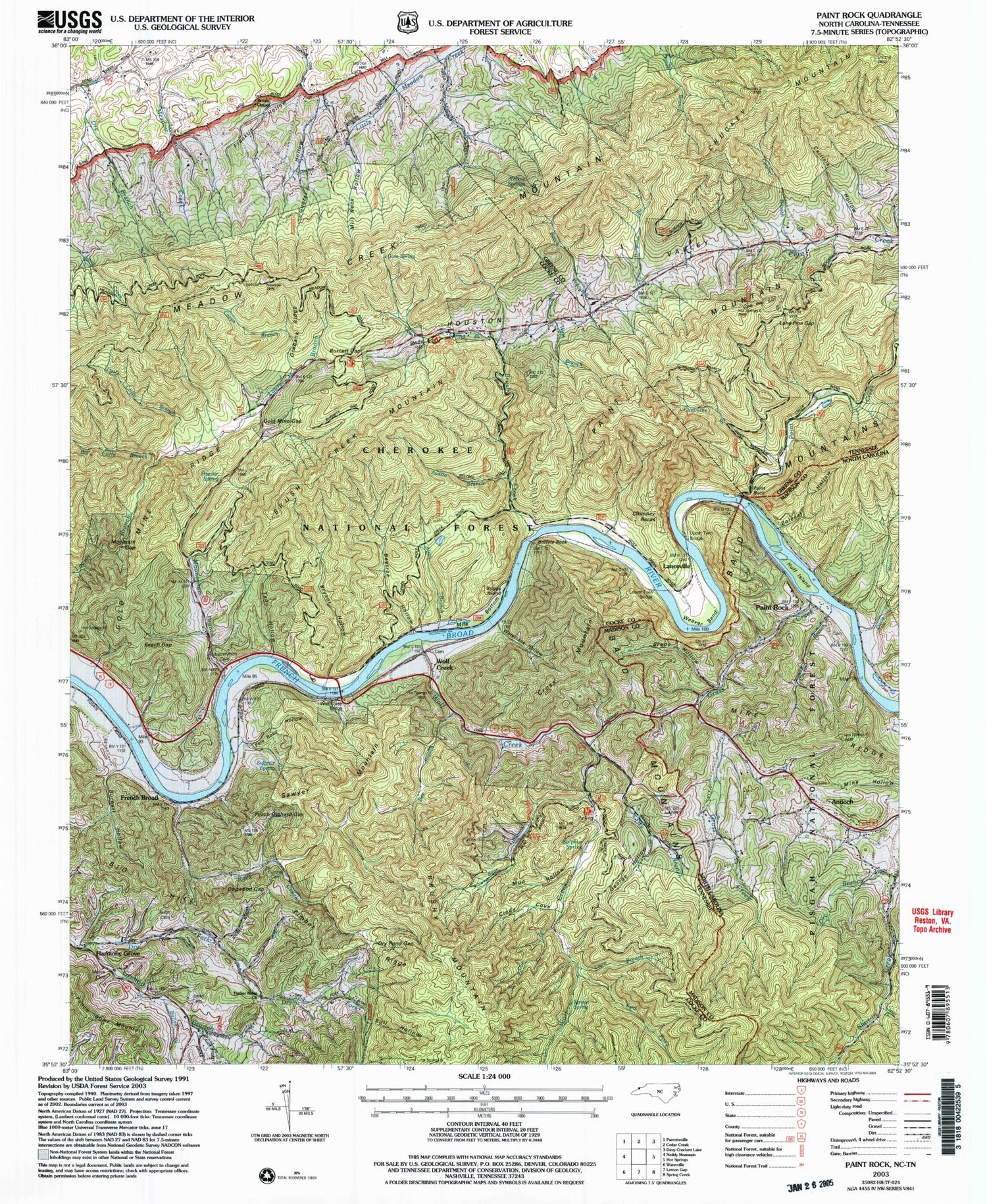
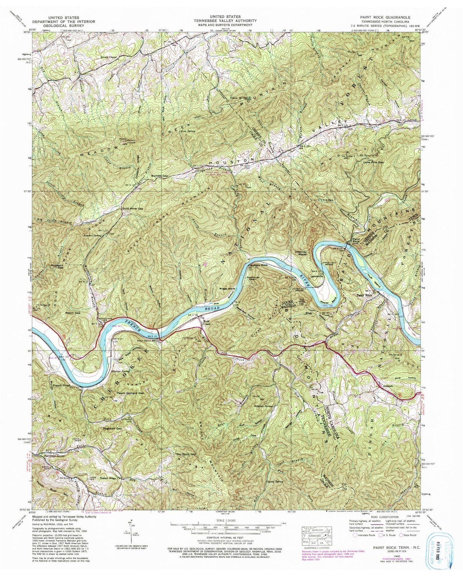
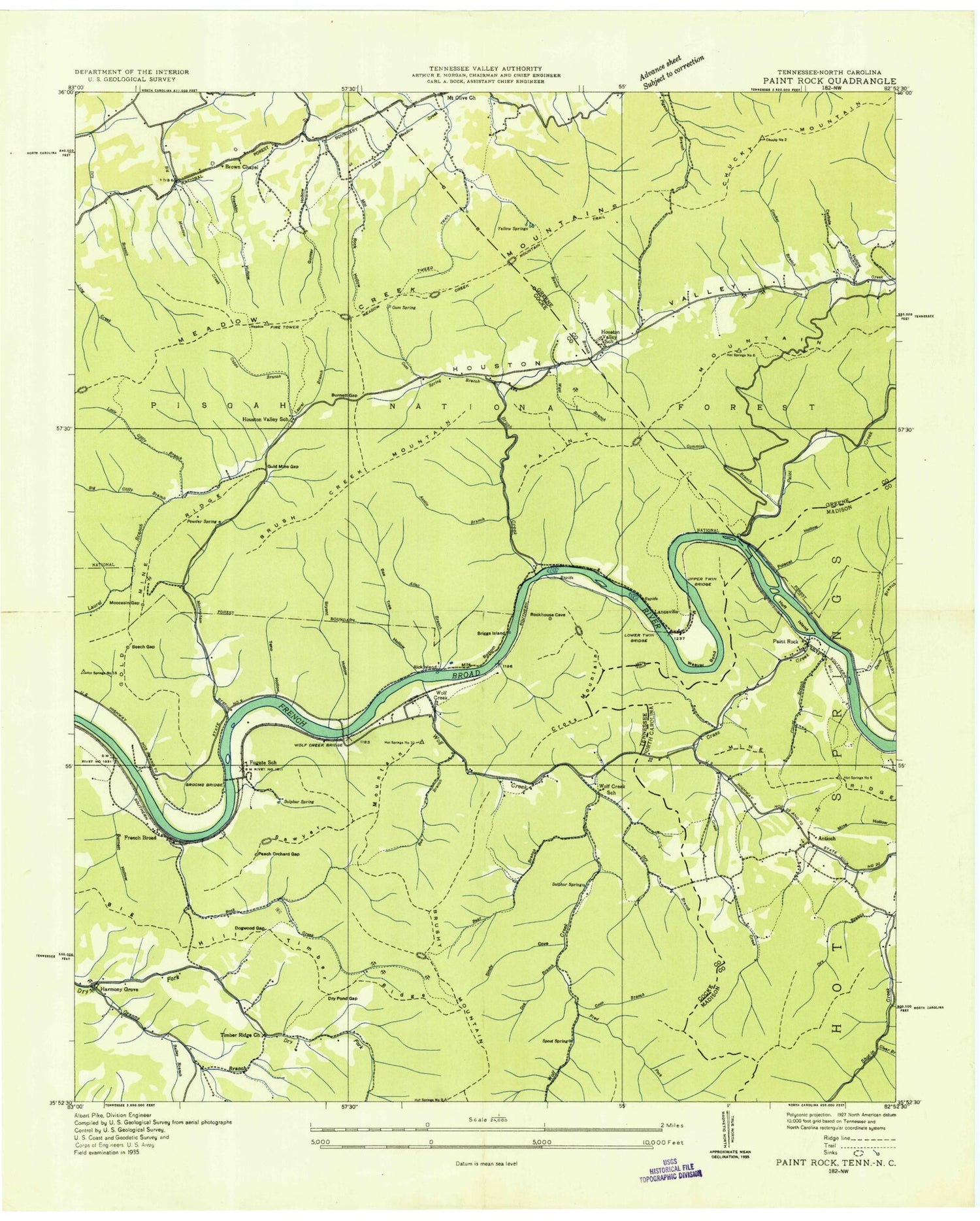
Historical USGS topographic quad map of Paint Rock in the states of North Carolina, Tennessee. Typical map scale is 1:24,000, but may vary for certain years, if available. Print size: 24" x 27"
This quadrangle is in the following counties: Cocke, Greene, Madison.
The map contains contour lines, roads, rivers, towns, and lakes. Printed on high-quality waterproof paper with UV fade-resistant inks, and shipped rolled.
Contains the following named places: Brady Hollow, Clear Branch, Clover Branch, Davis Branch, Dry Branch, East Fork Shut-In Creek, Huff Island, Mine Ridge, Polecat Hollow, Antioch, Grass Creek, Paint Rock, Cross Mountain, Country Volunteer Fire Department, Paint Rock, Big Clifty Branch, Spout Spring, Sulphur Spring, Sulphur Spring, Teno Hollow, Timber Ridge, Timber Ridge Church, Tweed Trail, Upper Twin Bridge, Watertank Hollow, Weaver Bend, West Branch Brush Creek, Wolf Creek, Wolf Creek Bridge, Wolf Creek School, Yellow Springs, Allen Branch, Austin Branch, Bailey Branch, Bear Branch, Bee Branch, Beech Branch, Beech Gap, Beetree Hollow, Big Hill, Briggs Island, Brown Chapel, Brush Creek, Brush Creek Mountain, Bryant Hollow, Buffalo Rock, Bull Hollow, Burgen Branch, Burnett Gap, Burnett Hollow, Capps Branch, Carlisle Hollow, Chimney Rocks, Cindy Cove, Coon Branch, Coulter Branch, Cummins Branch, Cutshall Cemetery, Doe Branch, Dogwood Gap, Dry Branch, Dry Pond Gap, Fed Fork, French Broad, Fugate School, George Hollow, Gold Mine Gap, Gold Mine Ridge, Granny Branch, Grooms Bridge, Gum Spring, Gum Spring Branch, Gunter Hollow, Houston Valley Church, Houston Valley School, Jones Cemetery, Justis Cemetery, Little Clifty Branch, Lone Pine Gap, Lower Twin Bridge, Mile Bottom, Mill Rock Hollow, Mocassin Gap, Mooneyham Branch, Mooneyham Cemetery, Moore Cemetery, Mud Hollow, Orebank Ridge, Paint Creek, Paint Mountain, Paint Rock, Peach Orchard Gap, Pole Road Hollow, Powder Spring, Punch Bowl Mountain, Rock Creek, Sawyer Mountain, Allen Branch Fish Pond, Allen Branch Fish Pond Dam, Chuckey Mountain, Unaka Station (historical), Jonestown (historical), Wolf Creek, Harmony Grove, Lanceville, Franklin Hollow, Big Cliffy Branch, Fed Fork, Bailey Branch, Little Cliffy Branch, Brush Creek, Buffalo Rock, Beech Branch, Chimney Rocks, Austin Branch, West Branch Cove Creek, Houston Valley School, Powder Spring, Capps Branch, Houston Valley Church, Bubbling Spring Shooting Range, Yellow Spring, Tweed Trail, Meadow Creek Lookout, Carilse Hollow, Coulter Branch, Spout Spring, Coon Branch, Cummins Branch, Doe Branch, Moore Cemetery, Jones Cemetery, Justis Cemetery, Granny Branch, French Broad, Mooneyham Branch, Cindy Cove, Bear Branch, Wolf Creek School, Sulpher Spring, Lower Twin Bridge, Upper Twin Bridge, French Broad Recreation Site, Cutshall Cemetery, Sulphur Spring, Rock Creek, Mooneyham Cemetery, French Broad Boating Site, Gum Spring, Houston Valley Campground, Paint Creek, Kill Dee Branch, Horseshoe Hollow, Cross Mountain Prospect, Moccasin Gap Mine, Mooneyham Mine, Harmony Grove School (historical), Jones Chapel, Krebs Mine, Fugate Siding (historical), Brushy Mountain Prospect, Williams Mine, Bry Fork Prospect, Wood Mine, Houston Valley, Chimney Rocks Trail, Paint Mountain Trail, Houston Valley Recreation Area, Meadow Creek Mountain Trail, Gum Springs Trail, Brady Hollow, Clear Branch, Clover Branch, Davis Branch, Dry Branch, East Fork Shut-In Creek, Huff Island, Mine Ridge, Polecat Hollow, Antioch, Grass Creek, Paint Rock, Cross Mountain, Country Volunteer Fire Department, Paint Rock, Big Clifty Branch, Spout Spring, Sulphur Spring, Sulphur Spring, Teno Hollow, Timber Ridge, Timber Ridge Church, Tweed Trail, Upper Twin Bridge, Watertank Hollow, Weaver Bend, West Branch Brush Creek, Wolf Creek, Wolf Creek Bridge, Wolf Creek School, Yellow Springs, Allen Branch, Austin Branch, Bailey Branch, Bear Branch, Bee Branch, Beech Branch, Beech Gap, Beetree Hollow, Big Hill, Briggs Island, Brown Chapel, Brush Creek, Brush Creek Mountain, Bryant Hollow, Buffalo Rock, Bull Hollow, Burgen Branch, Burnett Gap, Burnett Hollow, Capps Branch, Carlisle Hollow, Chimney Rocks, Cindy Cove, Coon Branch, Coulter Branch, Cummins Branch, Cutshall Cemetery, Doe Branch, Dogwood Gap, Dry Branch, Dry Pond Gap, Fed Fork, French Broad, Fugate School, George Hollow
