MyTopo
Classic USGS Pajaro Canyon New Mexico 7.5'x7.5' Topo Map
Couldn't load pickup availability
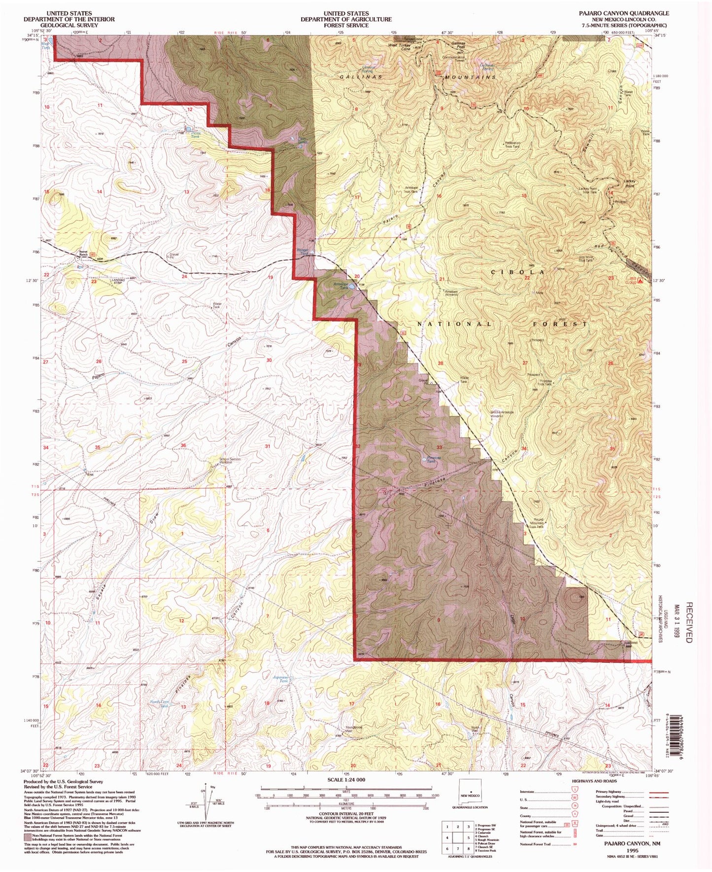
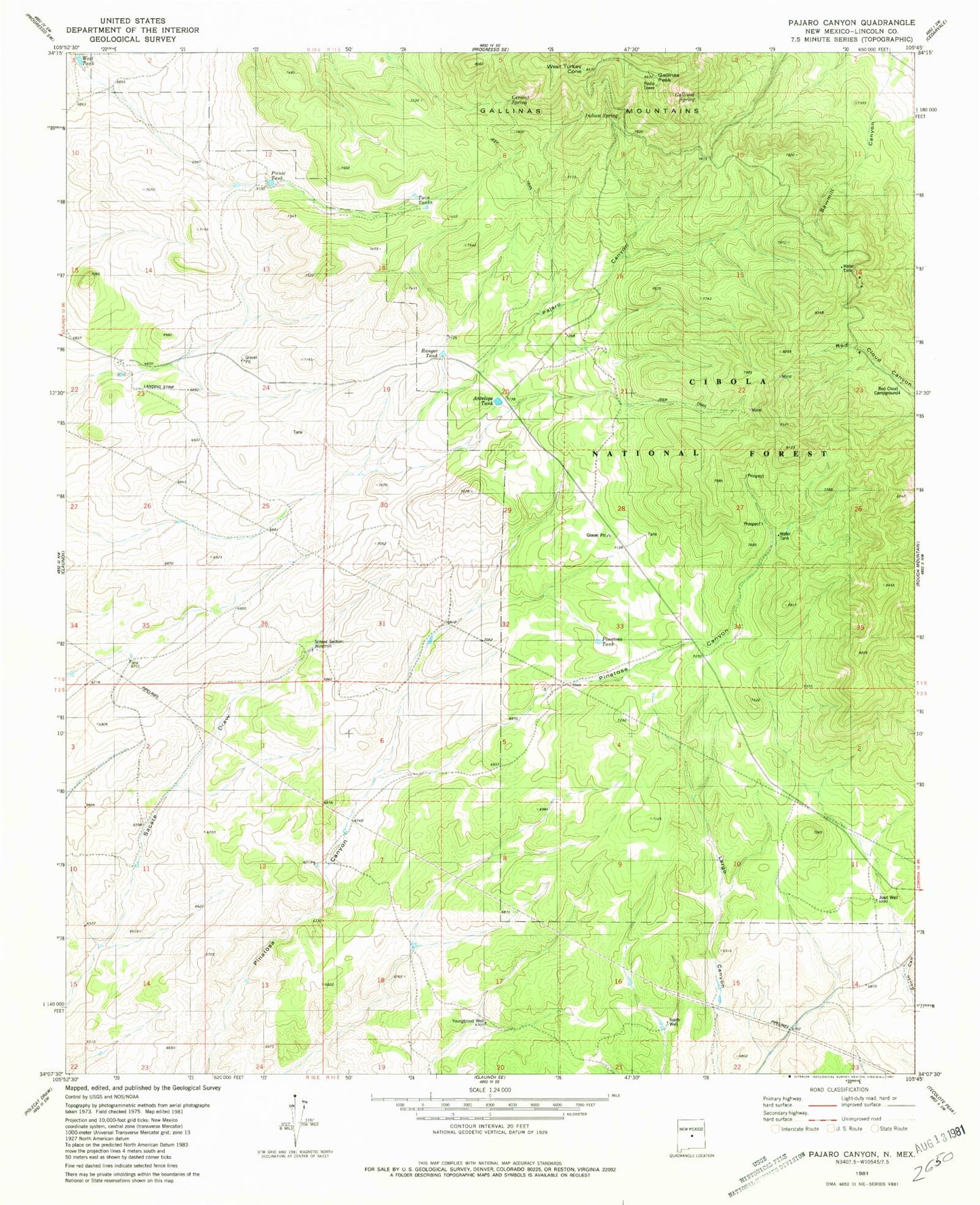
Historical USGS topographic quad map of Pajaro Canyon in the state of New Mexico. Map scale may vary for some years, but is generally around 1:24,000. Print size is approximately 24" x 27"
This quadrangle is in the following counties: Lincoln.
The map contains contour lines, roads, rivers, towns, and lakes. Printed on high-quality waterproof paper with UV fade-resistant inks, and shipped rolled.
Contains the following named places: American Contact Mine, American Mine - Gallinas District, Antelope Tank, Antelope Trick Tank, Antelope Windmill, Cement Spring, Federation Trick Tank, Gallinas Lookout, Gallinas Mountains, Gallinas Peak, Gallinas Spring, Iron Box Mine, Iron Lamp, Iron Mask Mine, Iron Mine Trick Tank, Iron State Mine, Japanese Tank, Juan Well, Lackey Point, Lackey Point Trick Tank, Little Marie, M and E Number 13, Middle Antelope Windmill, North Corn Tank, North Well, Pajaro Canyon, Picnic Tank, Pinatosa Tank, Pinatosa Trick Tank, Pride Number Two, Ranger Tank, Rare Metals, Red Cloud Campground, Round Mountain Trick Tank, Sawmill Canyon, School Section Windmill, Sky High, Surrat Ranch, Turkey Cone Trick Tank, Twin Tanks, West Tank, West Turkey Cone, Youngblood Well


