MyTopo
Classic USGS Palisades Dam Idaho 7.5'x7.5' Topo Map
Couldn't load pickup availability
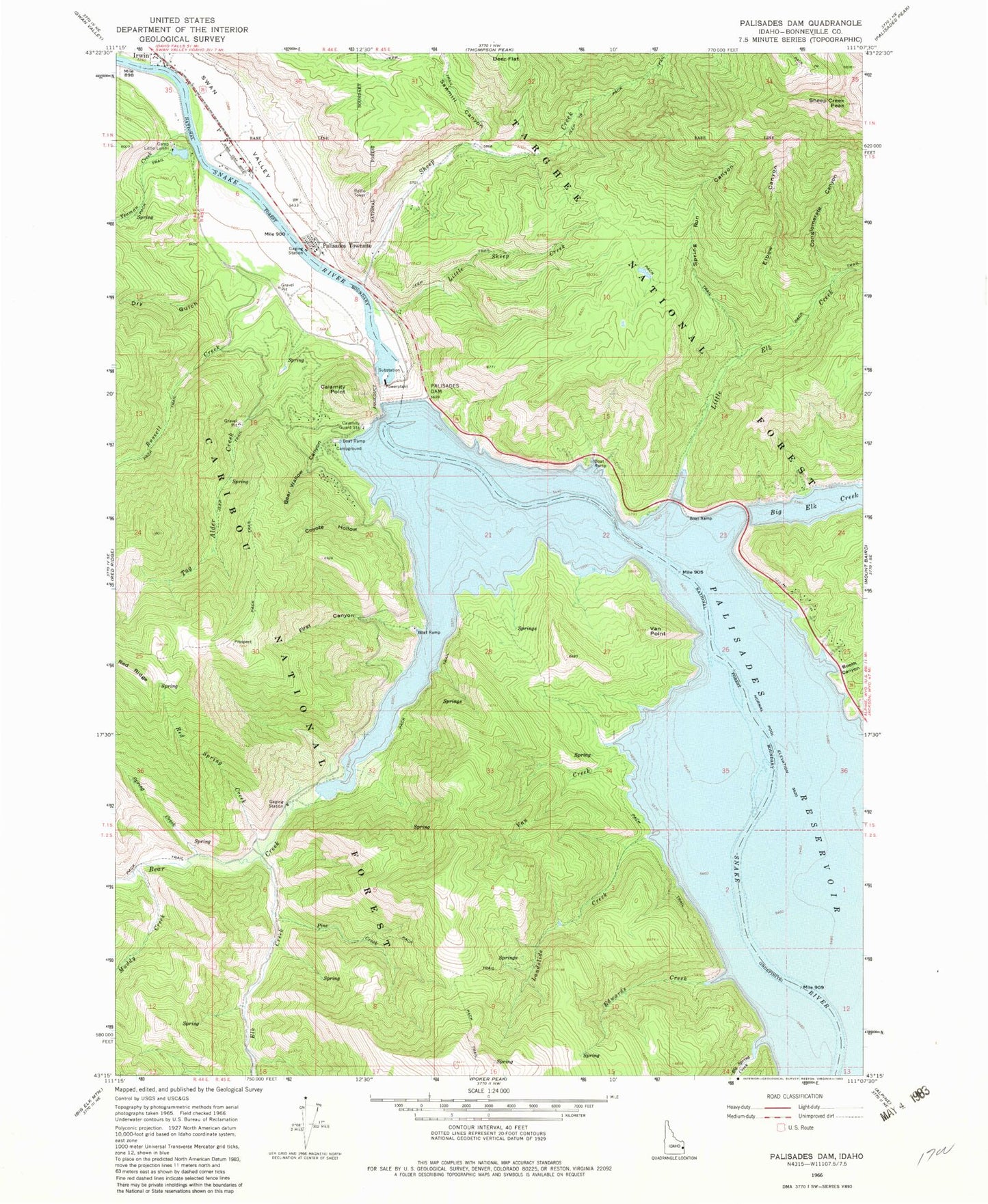
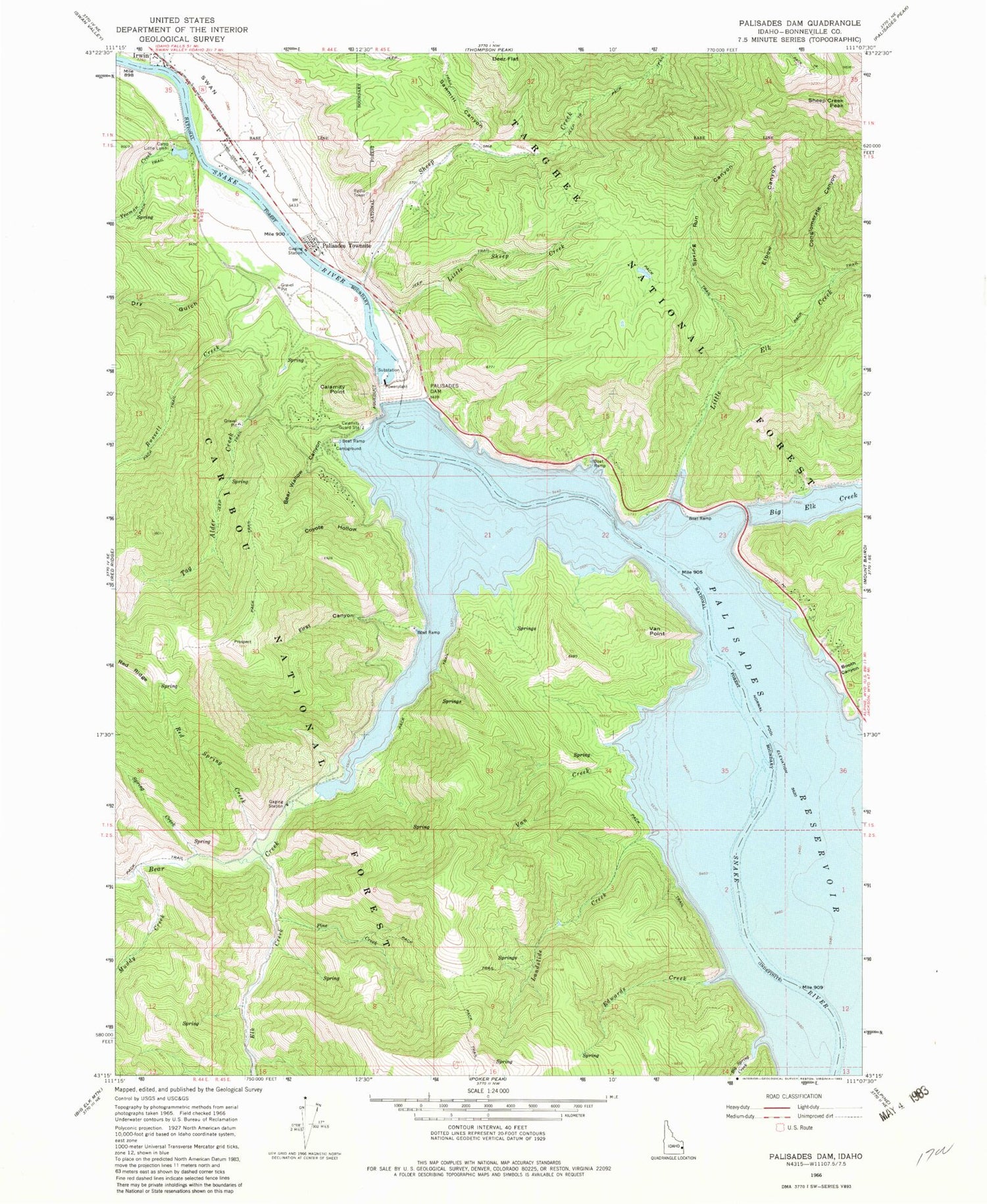
Historical USGS topographic quad map of Palisades Dam in the states of Idaho, Wyoming. Typical map scale is 1:24,000, but may vary for certain years, if available. Print size: 24" x 27"
This quadrangle is in the following counties: Bonneville.
The map contains contour lines, roads, rivers, towns, and lakes. Printed on high-quality waterproof paper with UV fade-resistant inks, and shipped rolled.
Contains the following named places: Bear Creek, Bear Wallow Canyon, Big Spring Creek, Booth Canyon, Calamity Guard Station, Calamity Point, Camp Little Lemhi, Conglomerate Canyon, Coyote Hollow, Deer Flat, Dry Gulch, Edwards Creek, Elbow Canyon, Elk Creek, First Canyon, Landslide Creek, Little Elk Creek, Little Sheep Creek, Muddy Creek, Palisades Creek, Palisades Dam, Pine Creek, Red Spring Creek, Russell Creek, Sawmill Canyon, Sheep Creek, Sheep Creek Peak, Spring Creek, Spring Run Canyon, Tag Alder Creek, Van Creek, Van Point, Yeaman Creek, Palisades, Edwards Ferry, Elbow Creek, Edwards Ferry (historical), Palisades Winter Range, Dry Canyon, Palisades Reservoir


